| Canada and U.S. East Coast - October-November 2007 | ||
| Here's a map of our travels for our October 2007 cruise aboard Grand Princess | 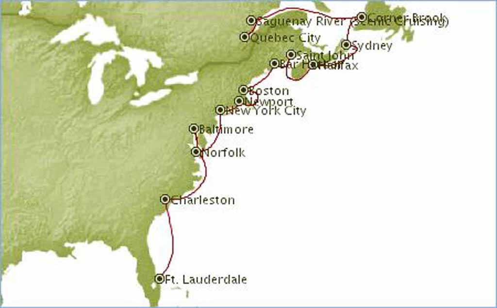 |
|
| The Itinerary | 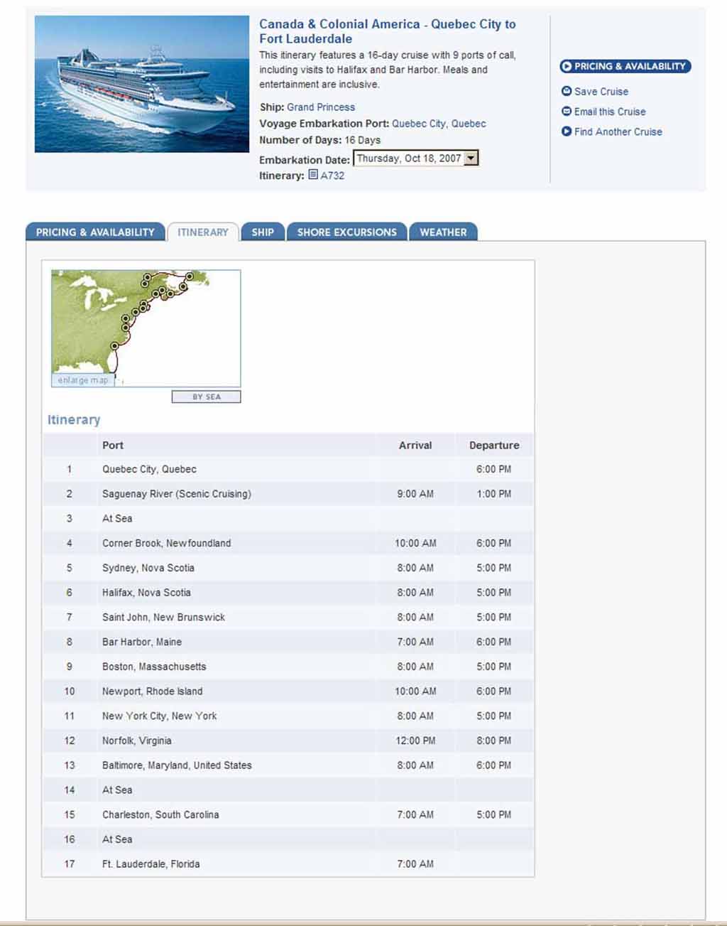 |
|
|
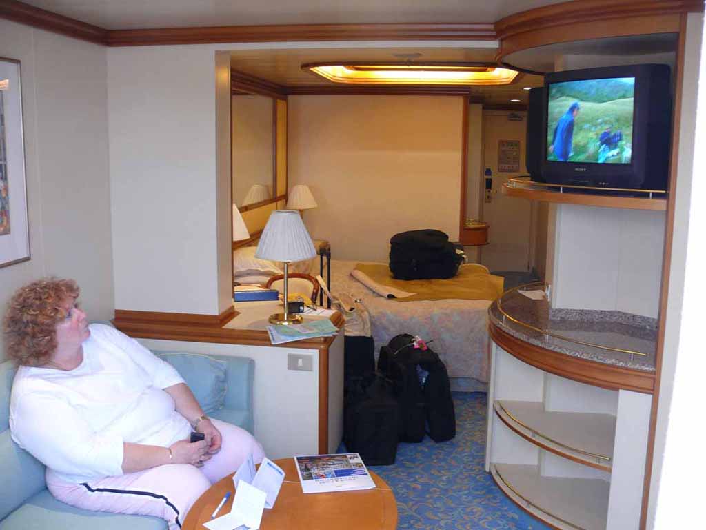
Here's the inside of our cabin looking toward the entrance to the room |
 |
|
|
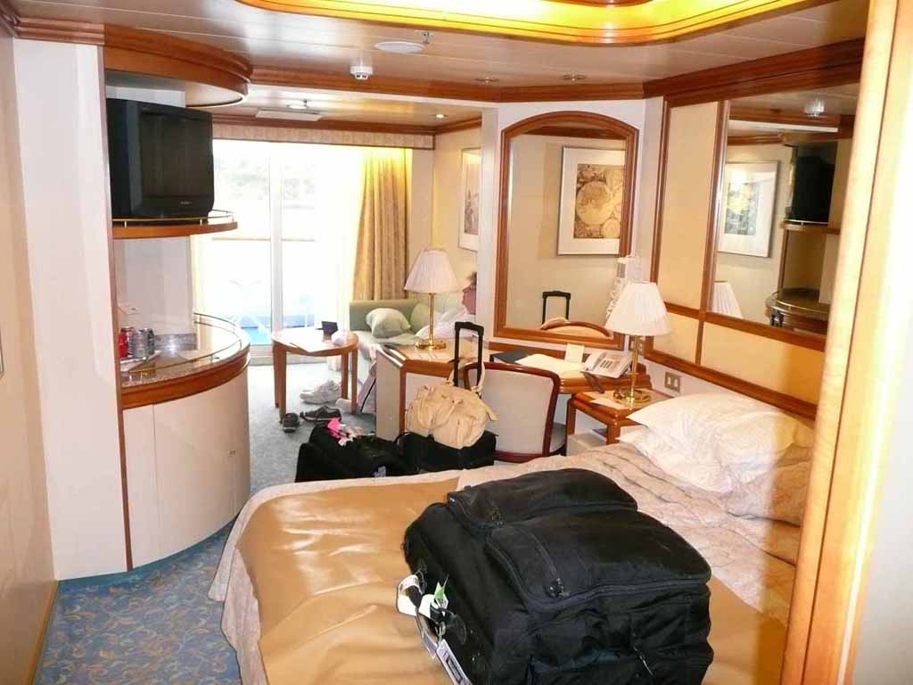
And a view looking toward the balcony |
 |
|
|
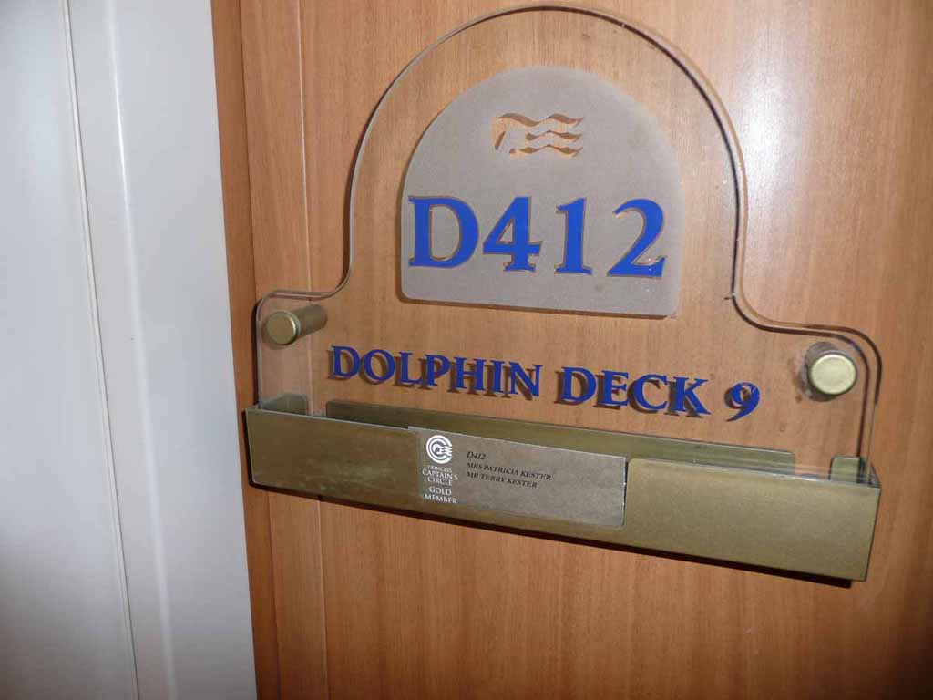
I like to keep track of which room we had. |
 |
|
|
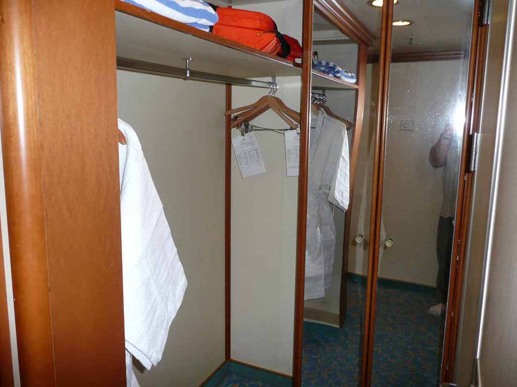
Pretty nice size closet area |
 |
|
|
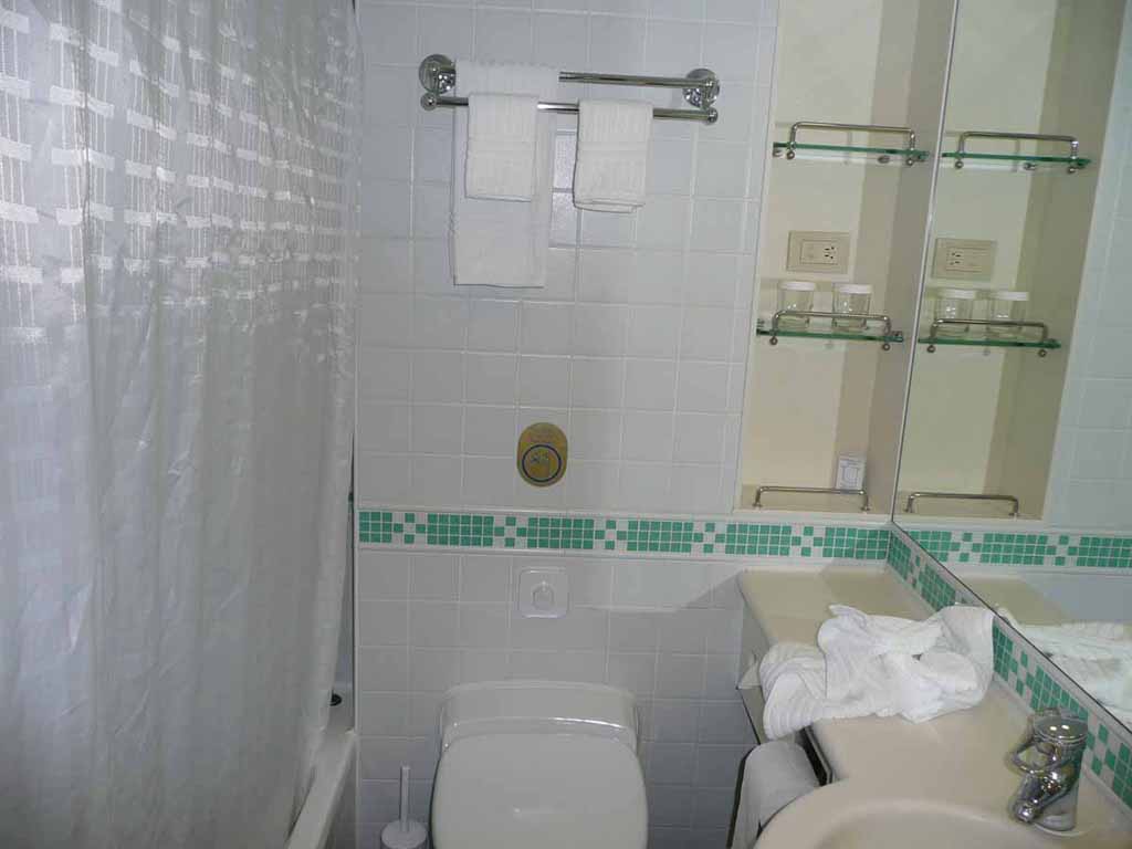
The latrine |
 |
|
|
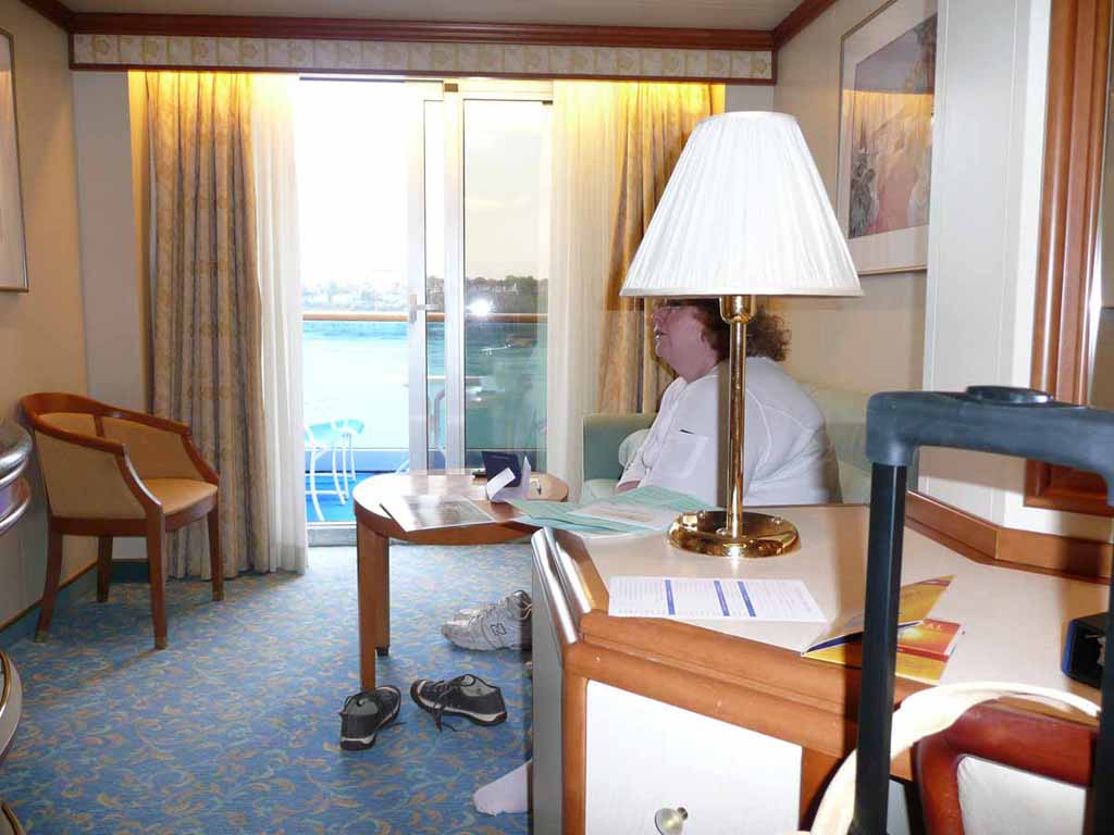
Our "sitting room" |
 |
|
|
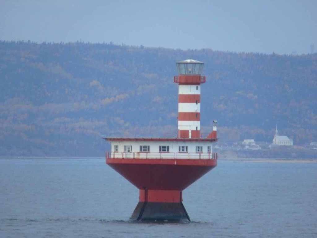
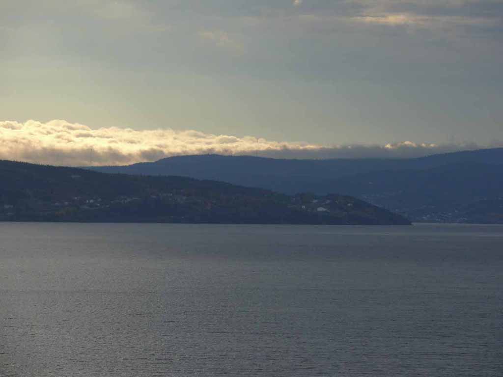
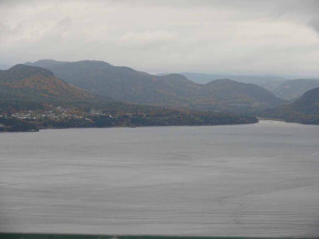
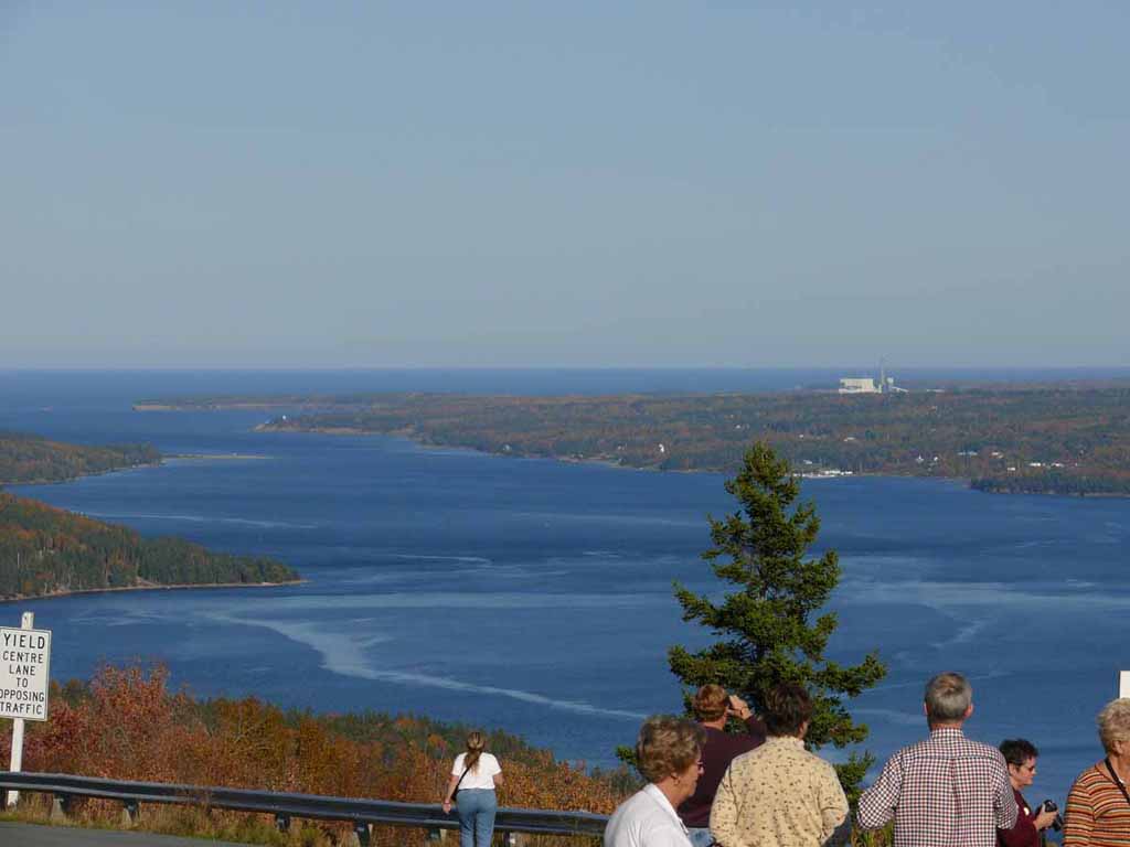
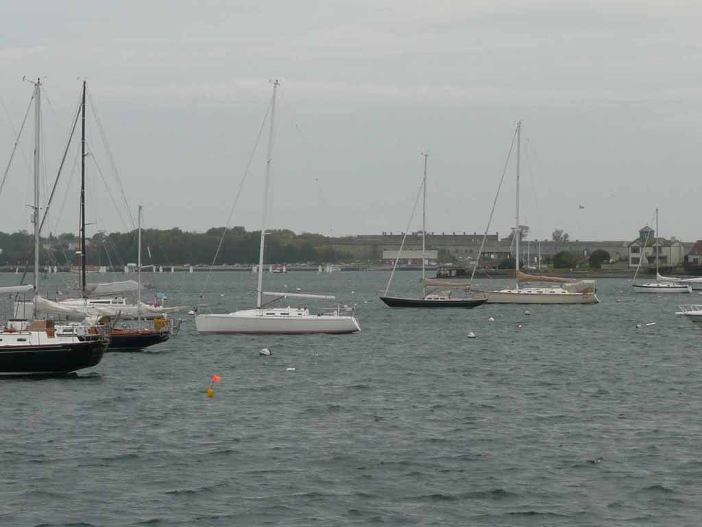
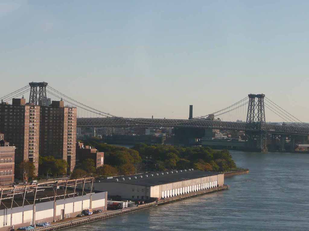
Here we go. This is a channel marker in the St Lawrence at the opening to the Saguenay River |
 |
|
|
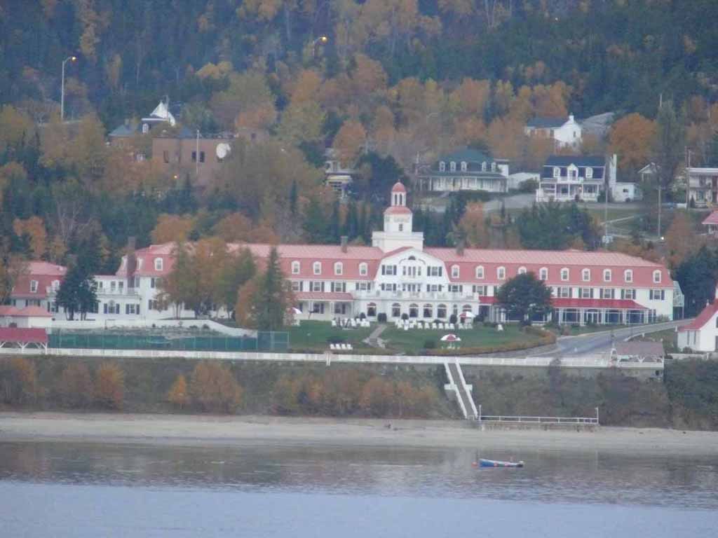
The Hotel Tadoussac at the entrance to the river. |
 |
|
|
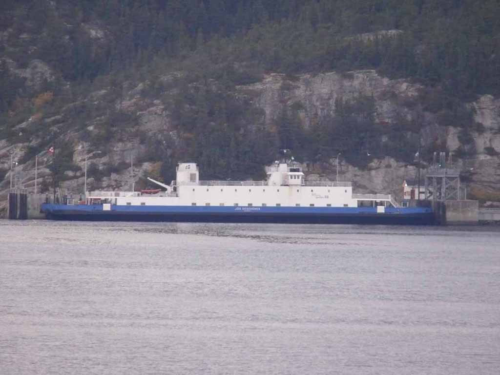
One of the car ferries that crosses back and forth across the river. |
 |
|
|
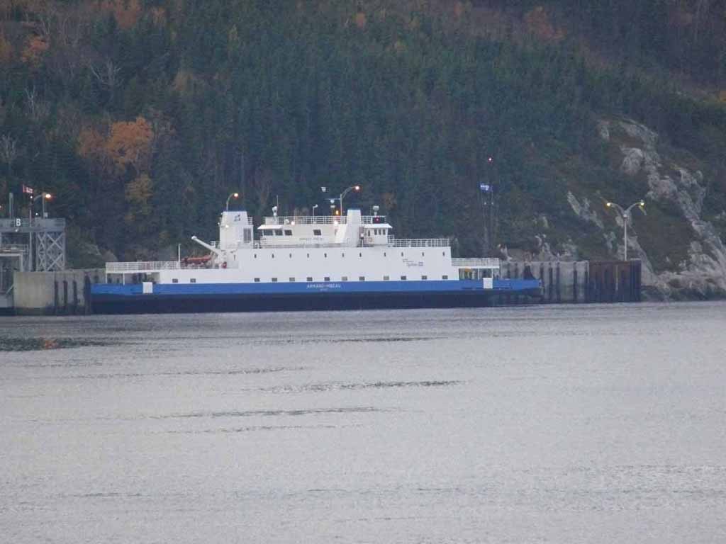
Another ferry on the other side |
 |
|
|
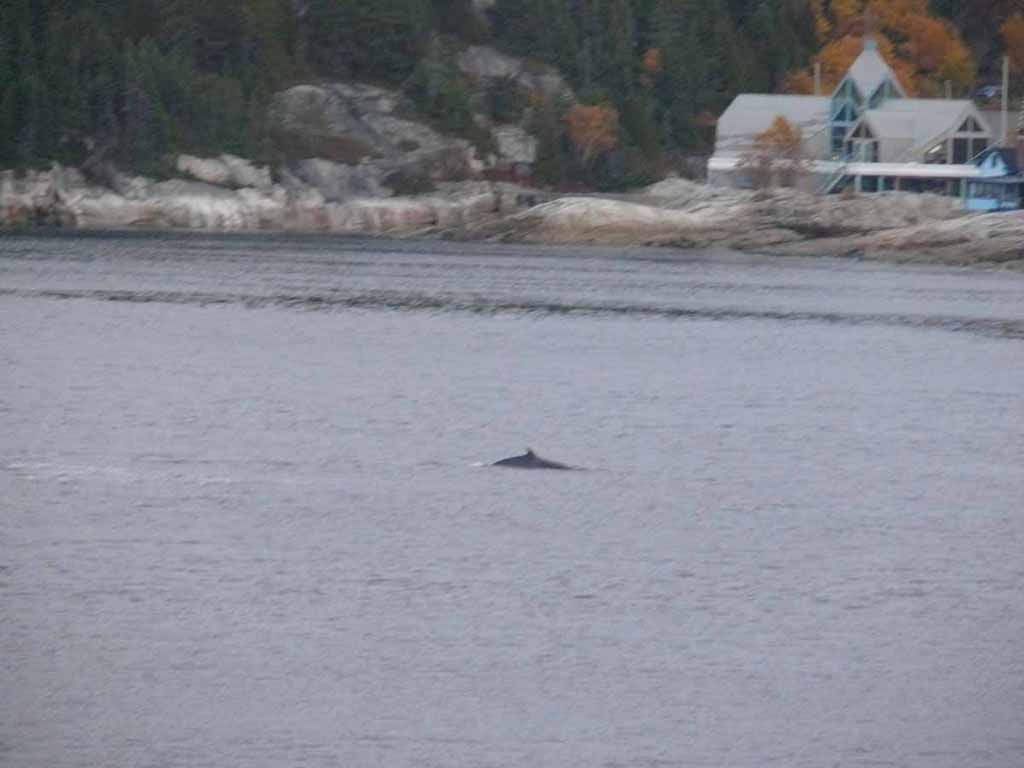
One of the small Minke whales we saw. |
 |
|
|
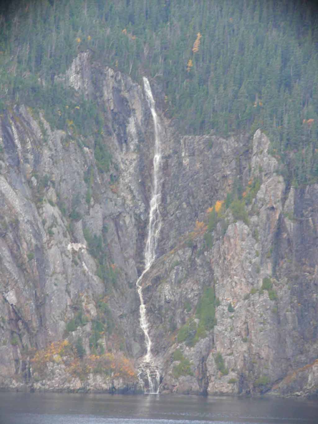
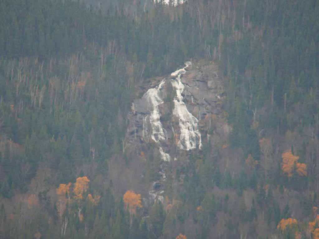
One of numerous waterfalls along our trip up the river. |
 |
|
|
Another |
 |
|
|
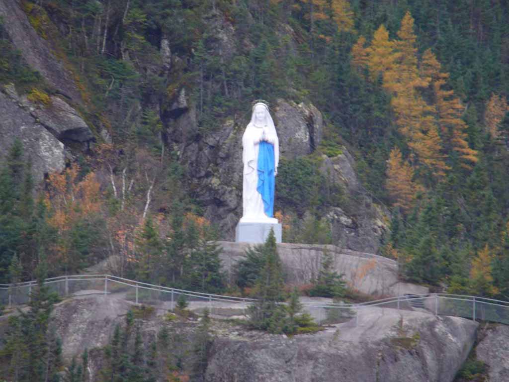
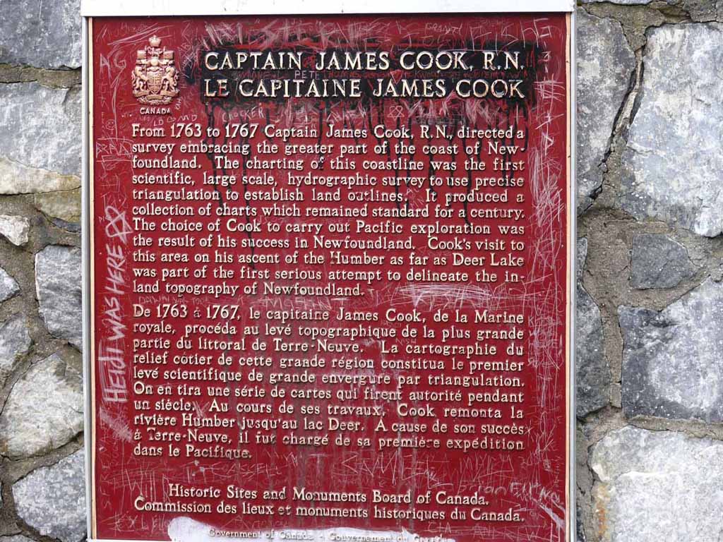
The Virgin Mary, completed in ~1880 as a result of a promise between a man, who escaped death twice, and God. It's made of wood and is 28 foot tall. It was brought up the side of the cliff in pieces and reassembled on top. It sits about 1100 feet up on the side of the "hill". |
 |
|
|
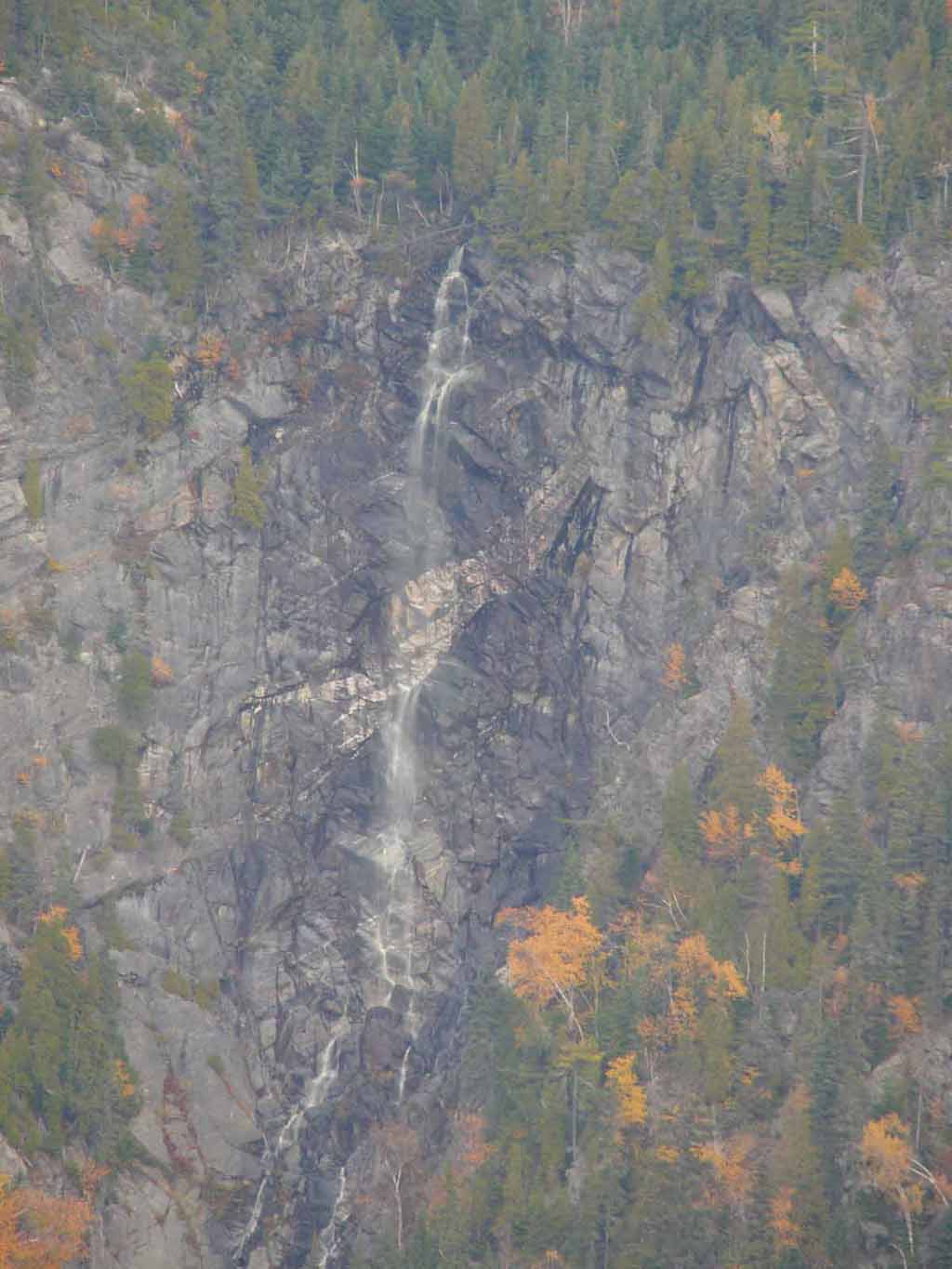
More waterfall |
 |
|
|
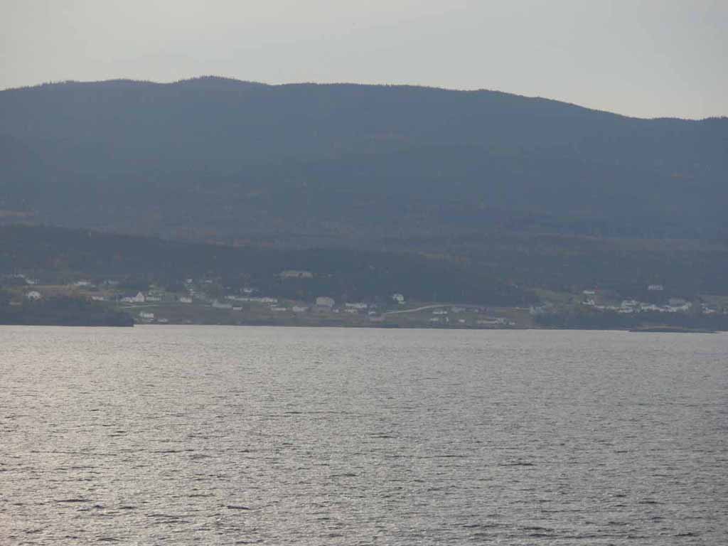
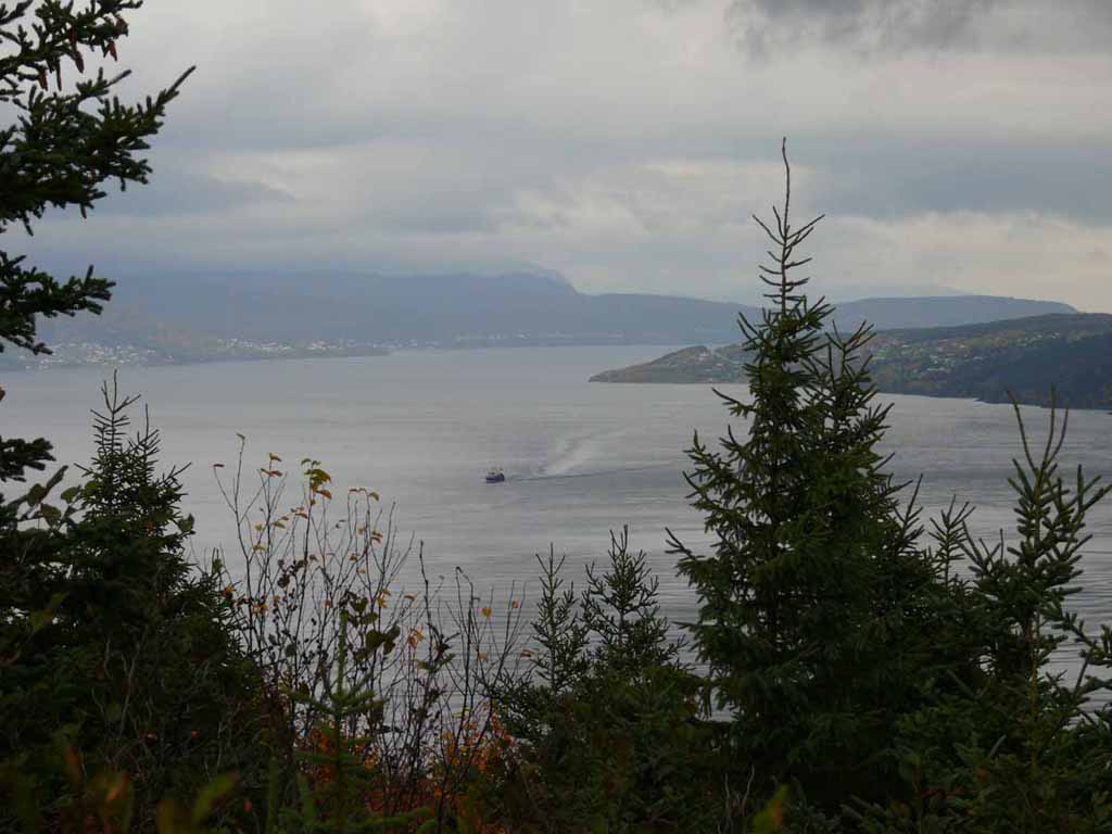
Here we are approaching our entrance to Corner Brook Newfoundland |
 |
|
|
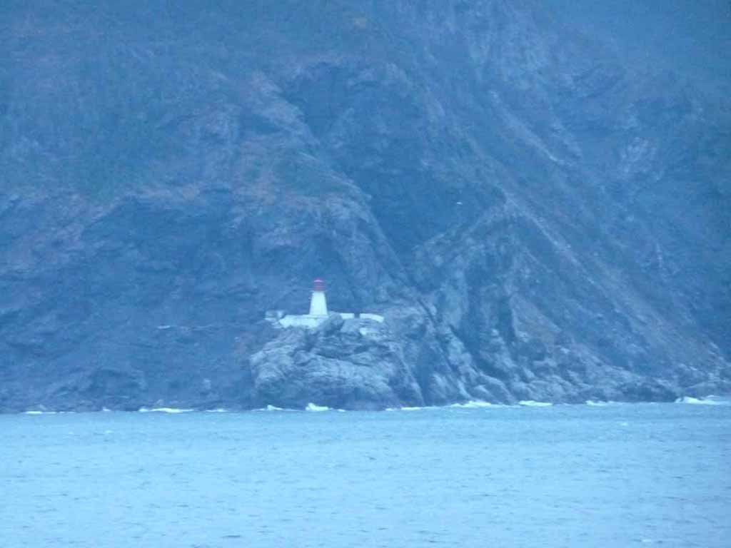
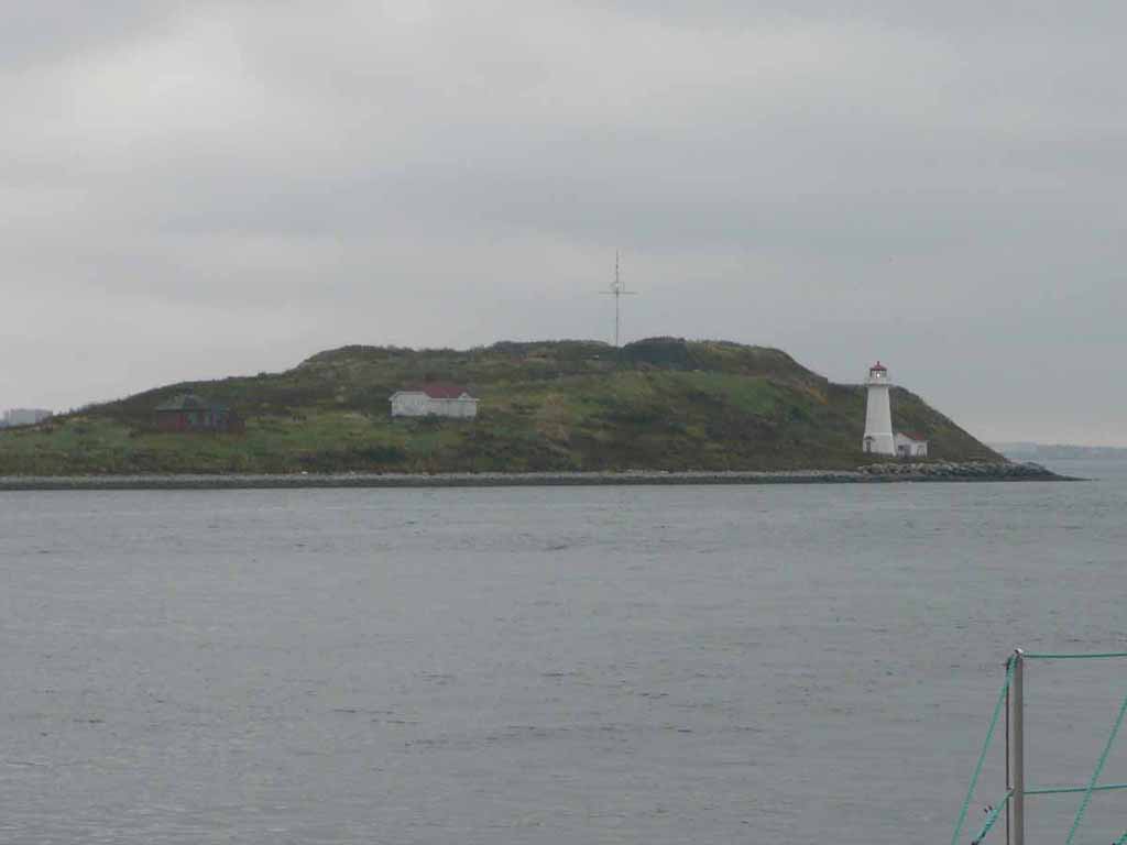
Light house marking the way |
 |
|
|
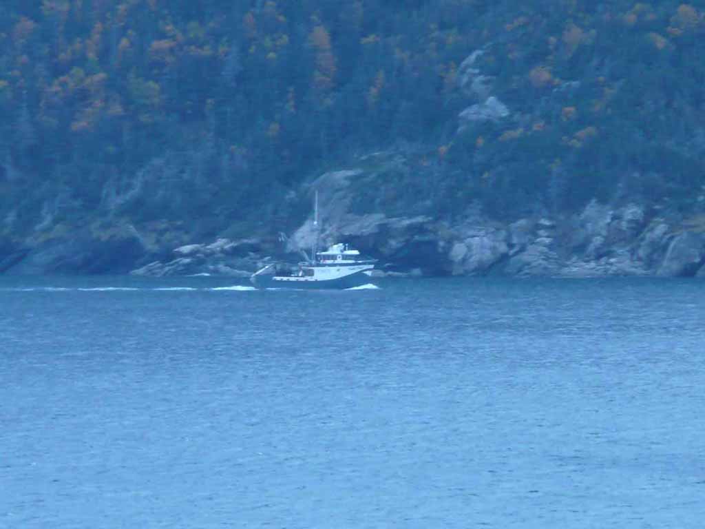
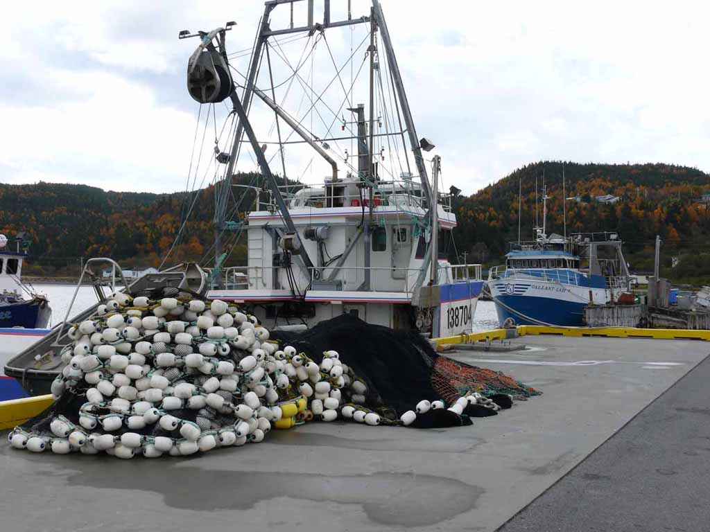
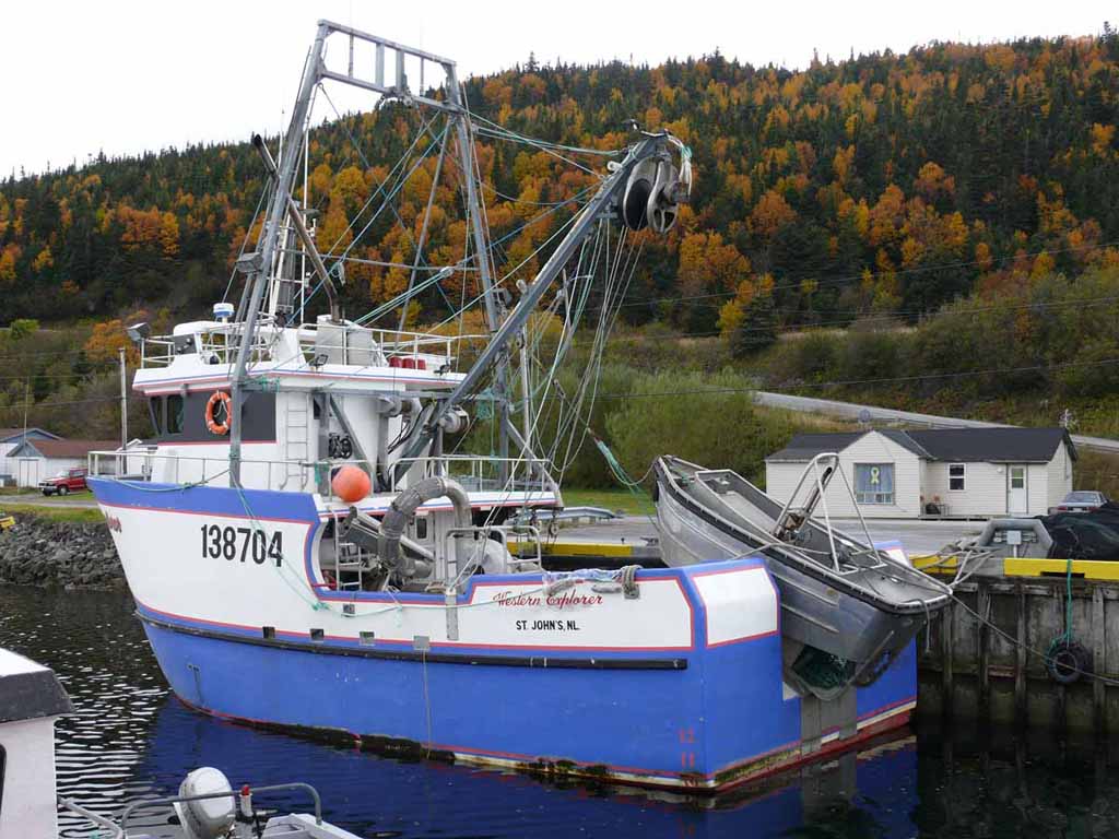
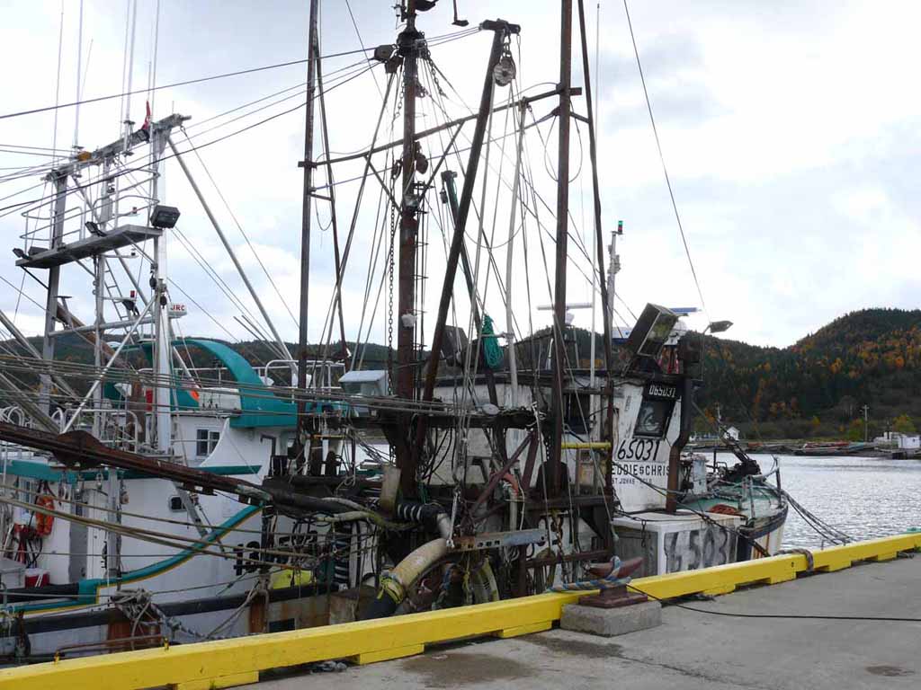
Heading out fishing |
 |
|
|
The countryside homes as we proceed toward Corner Brook |
 |
|
|
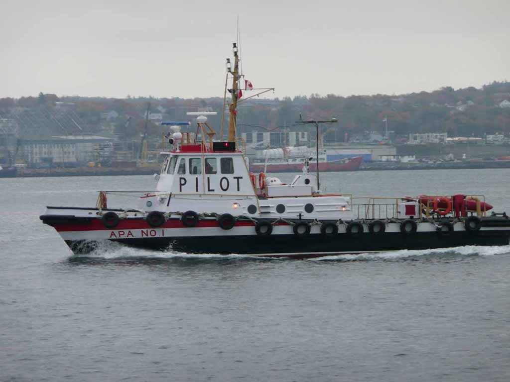
Getting our Pilot. Any takers for this job? |
 |
|
|
|
 |
|
|
|
 |
|
|
|
 |
|
|
|
 |
|
|
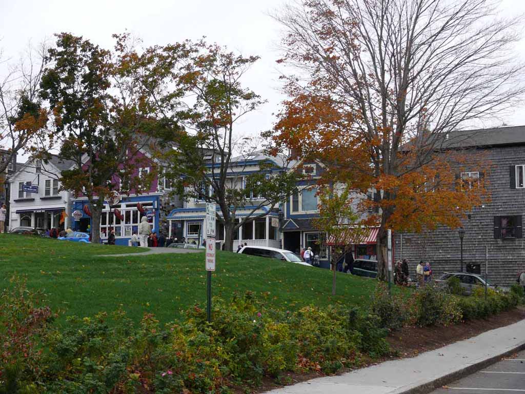
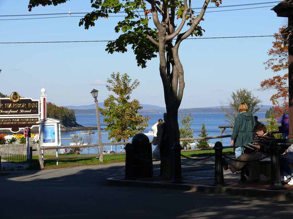
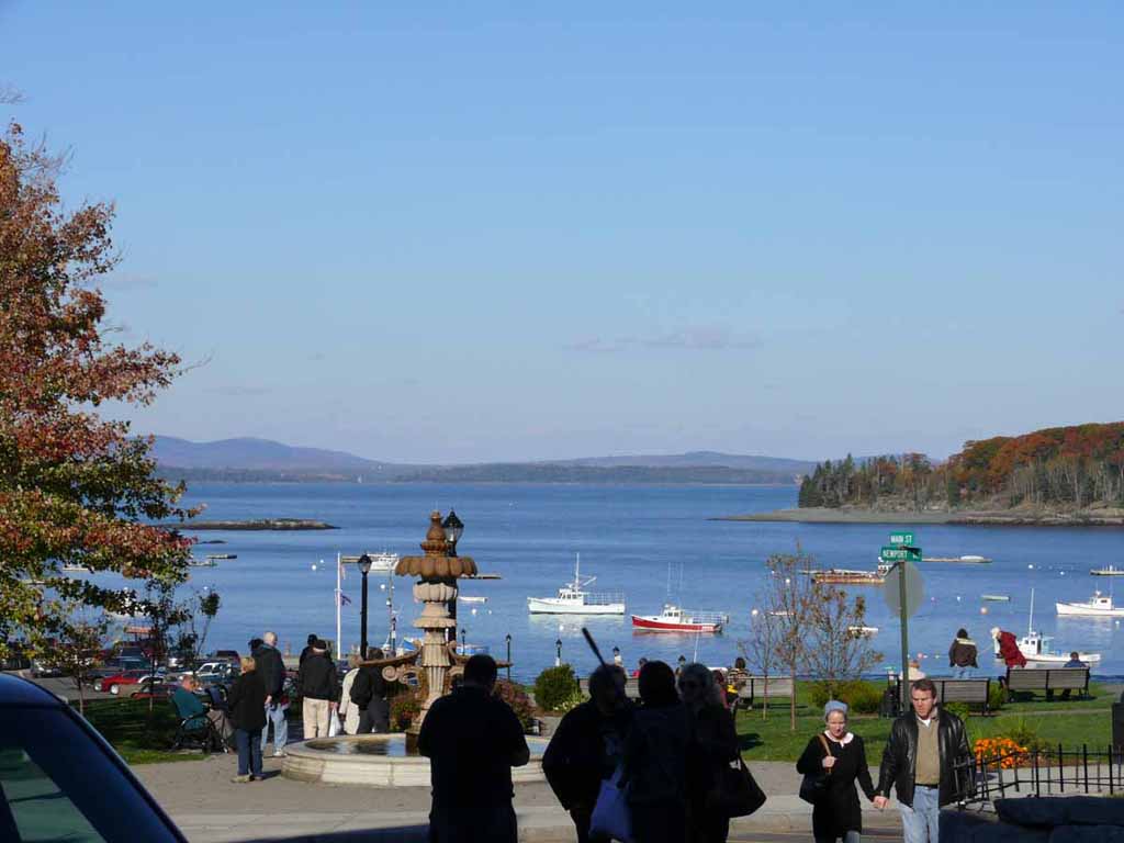
A look out into the bay area from the park where the monument above was located. |
 |
|
|
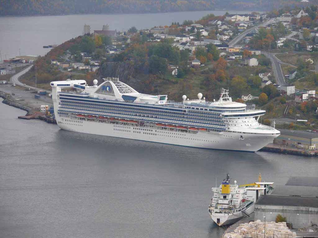
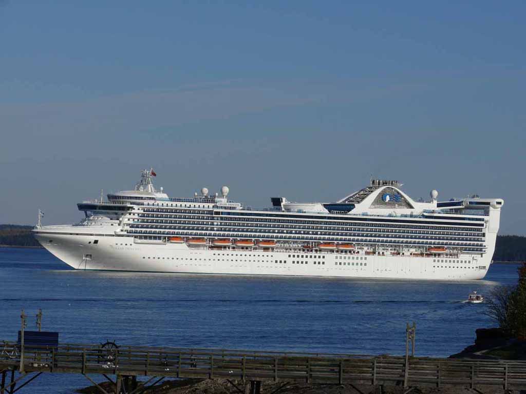
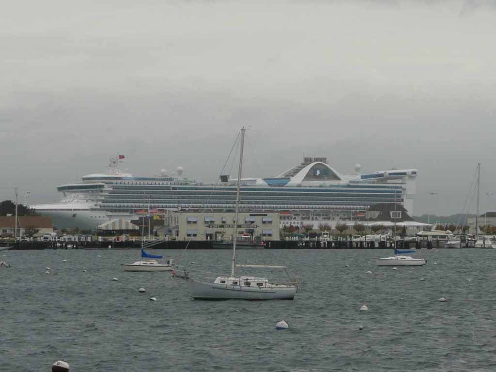
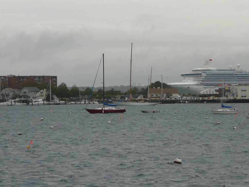
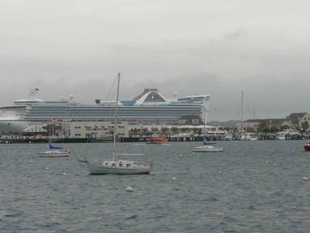
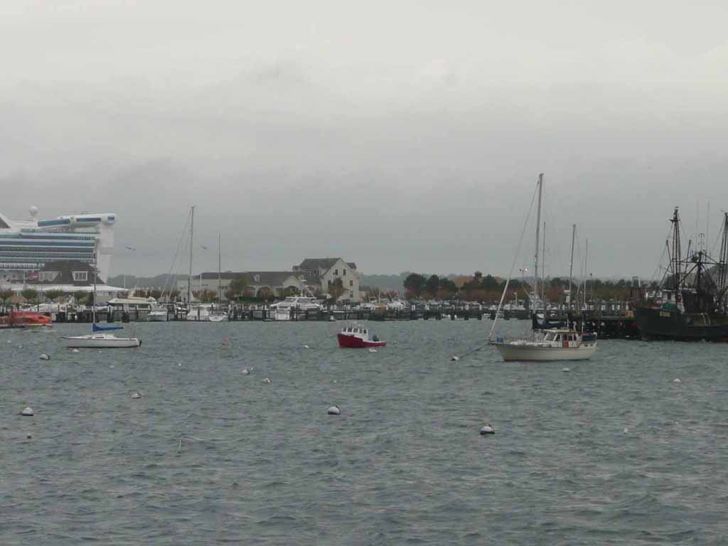
A nice view of The Grand Princess |
 |
|
|
|
 |
|
|
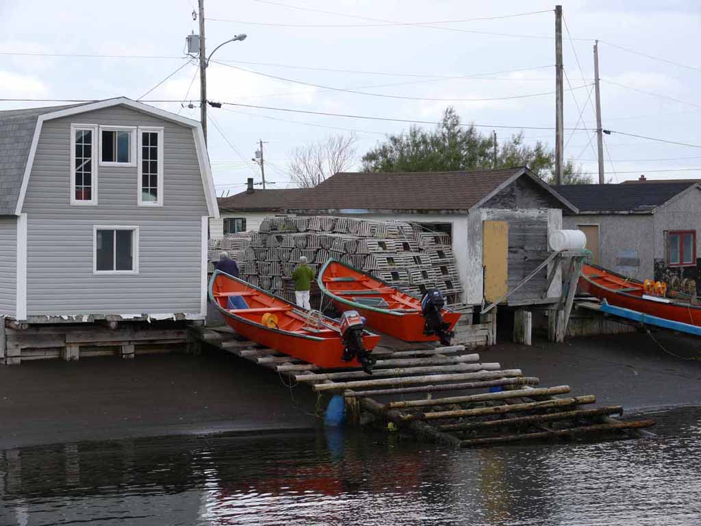
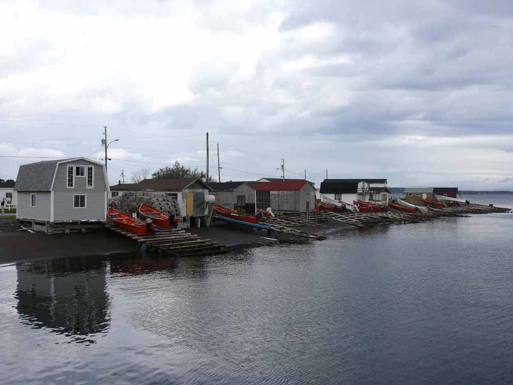
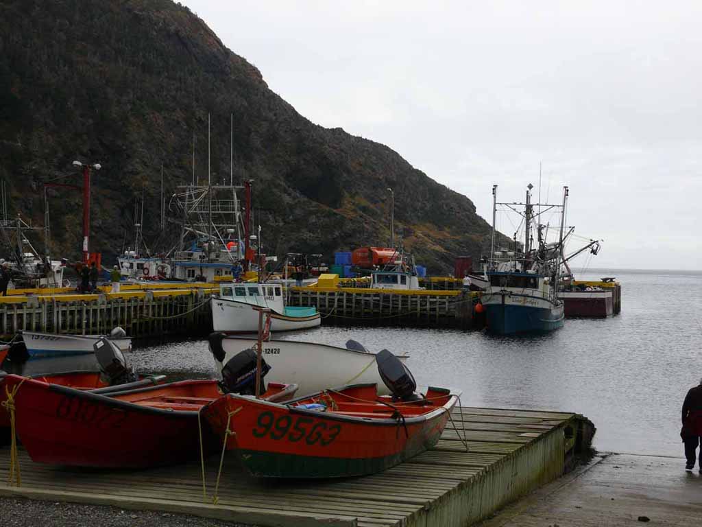
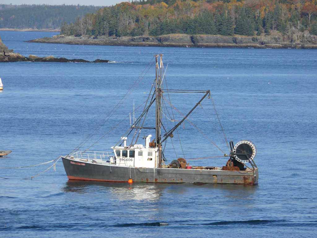
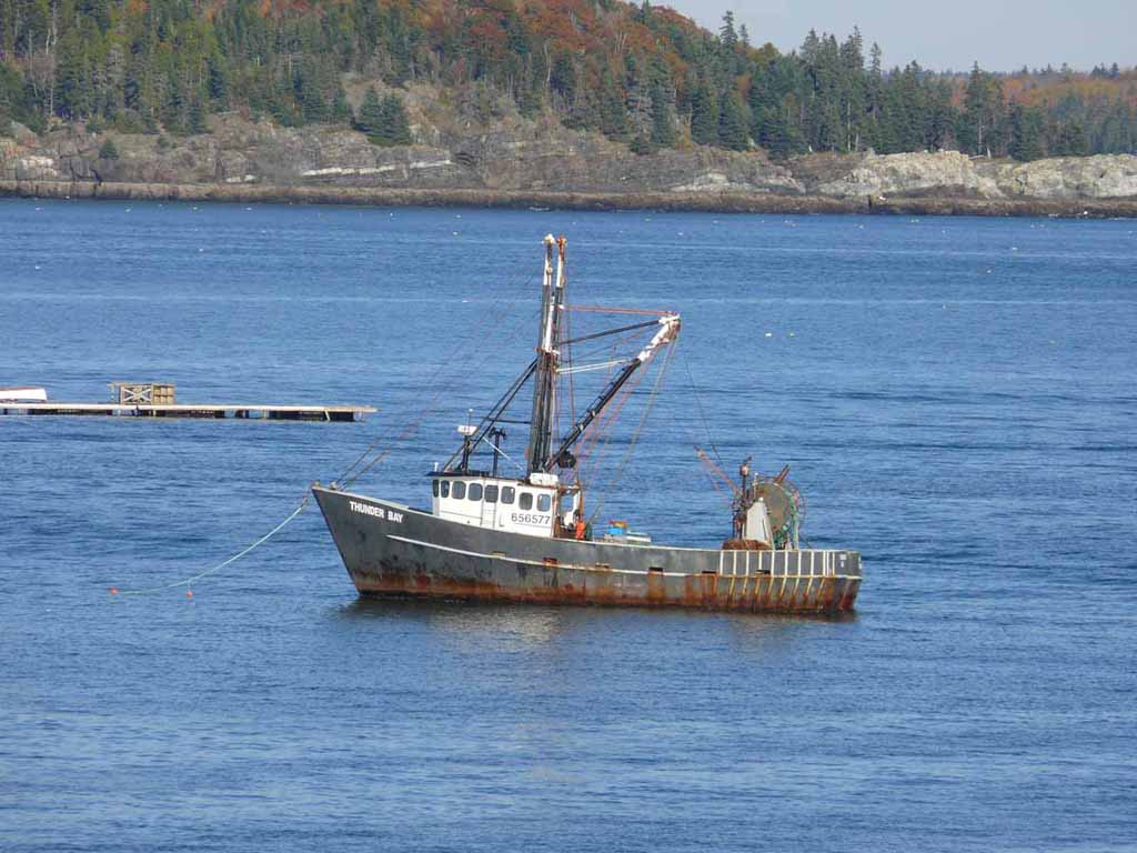
Some fishing boats at Frenchman's Cove Newfoundland |
 |
|
|
|
 |
|
|
|
 |
|
|
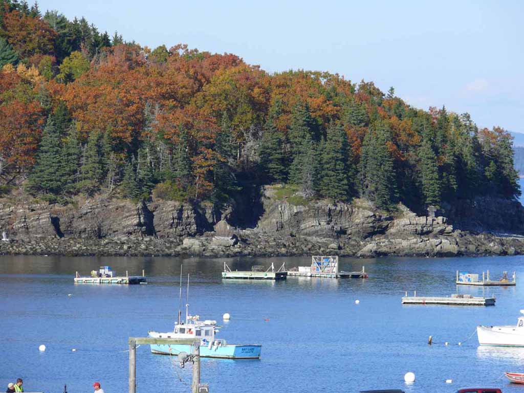
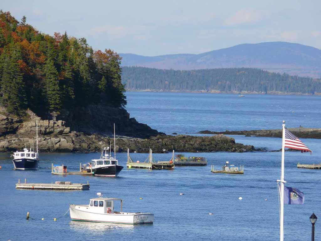
Still at Frenchman's Cove |
 |
|
|
|
 |
|
|
|
 |
|
|
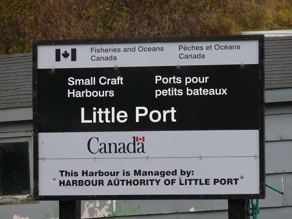
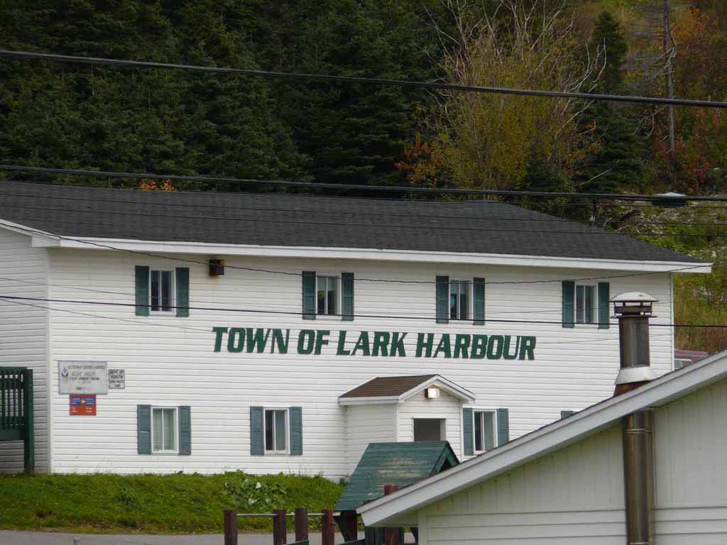
Little Port. Near Lark Harbor |
 |
|
|
|
 |
|
|
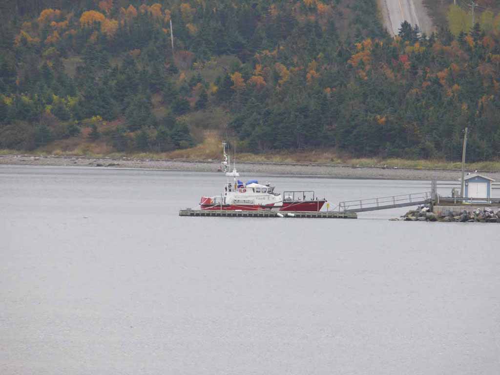
Canadian coast guard 47 foot rescue boat at the ready |
 |
|
|
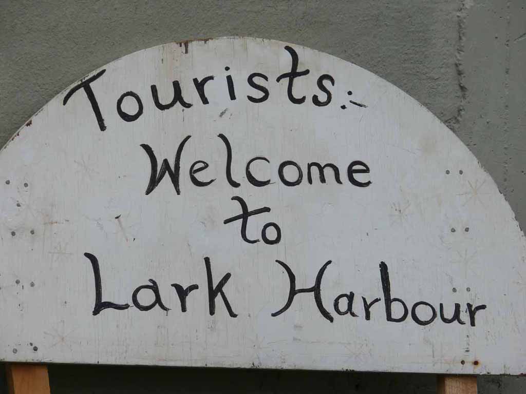
I missed getting a picture, but we had a lovely stop at a small church in Lark Harbour. We got to sample some local treats (including things like moose meat). |
 |
|
|
I didn't name it. |
 |
|
|
|
 |
|
|
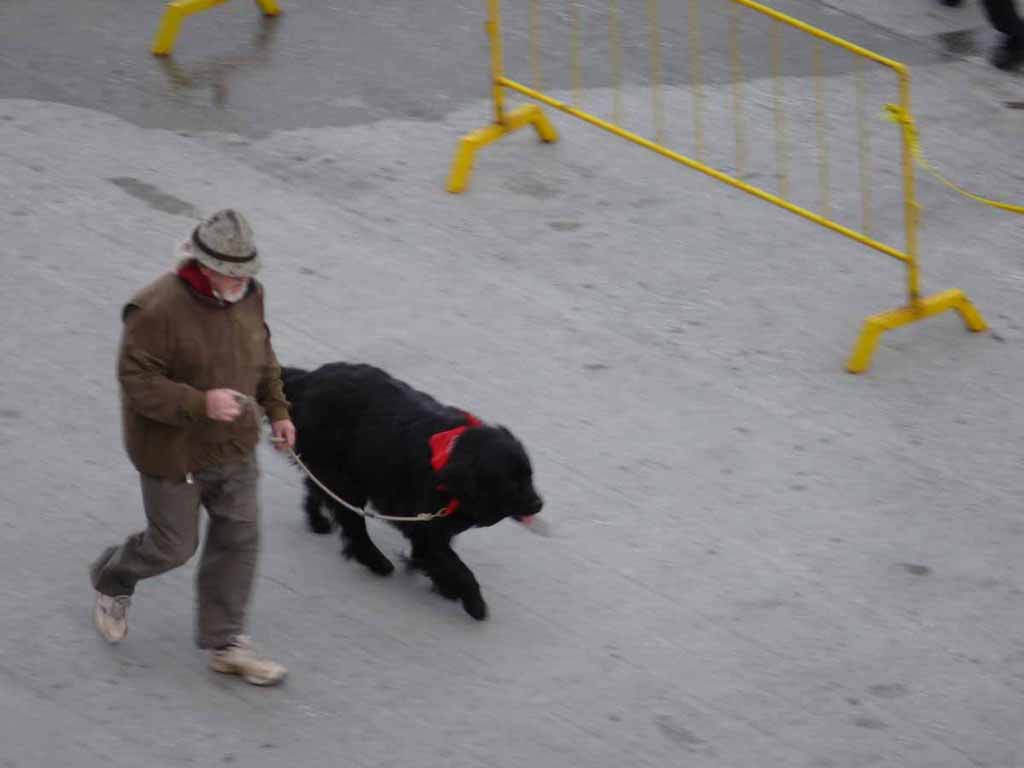
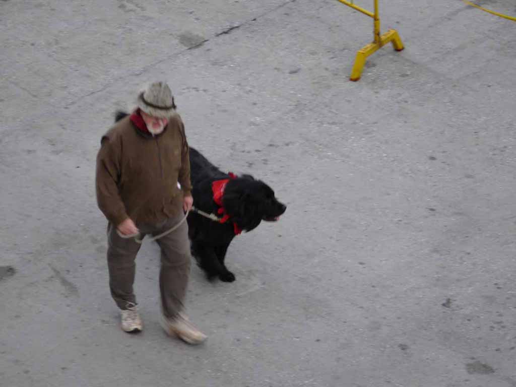
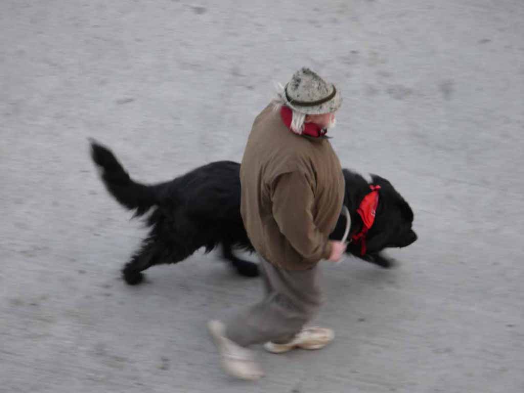
Sorry for the blurred images. This was one of the local shop owners in Corner Brook who came to welcome us to Newfoundland and see us off. (seeing is off here) |
 |
|
|
What better representative than a great big Newfoundland dog. |
 |
|
|
I want one of those dogs |
 |
|
|
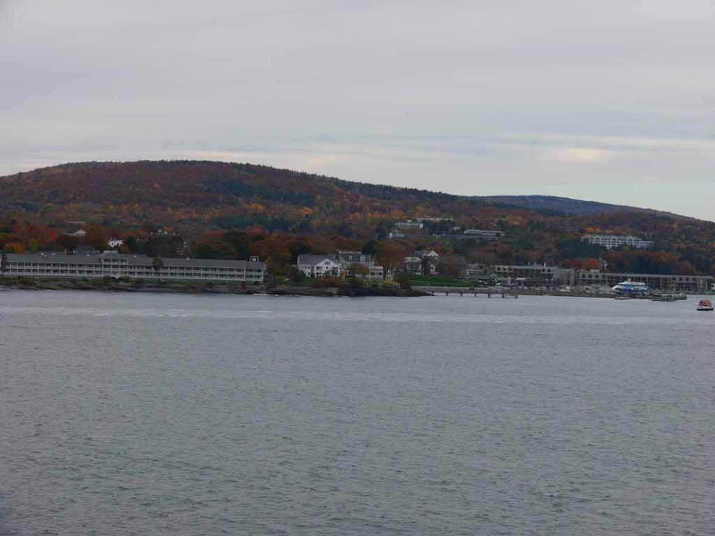
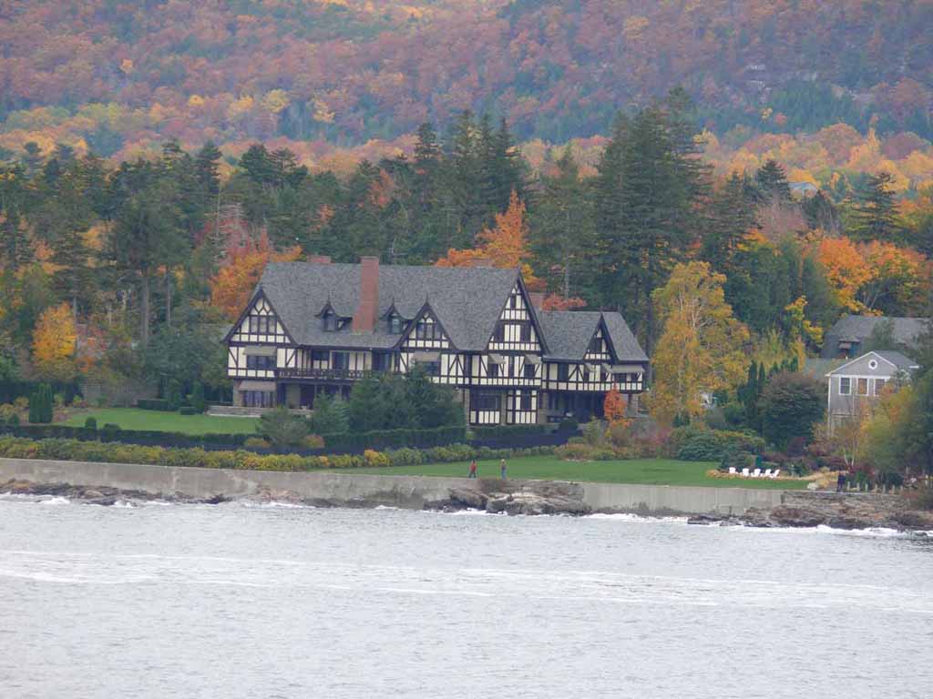
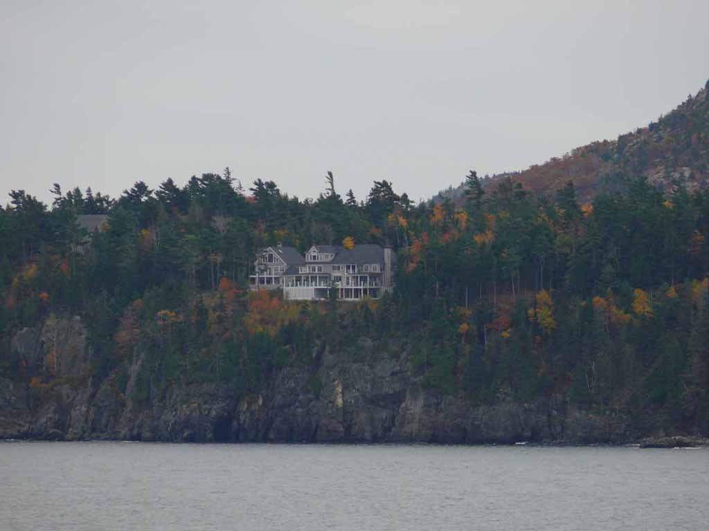
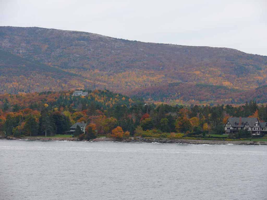
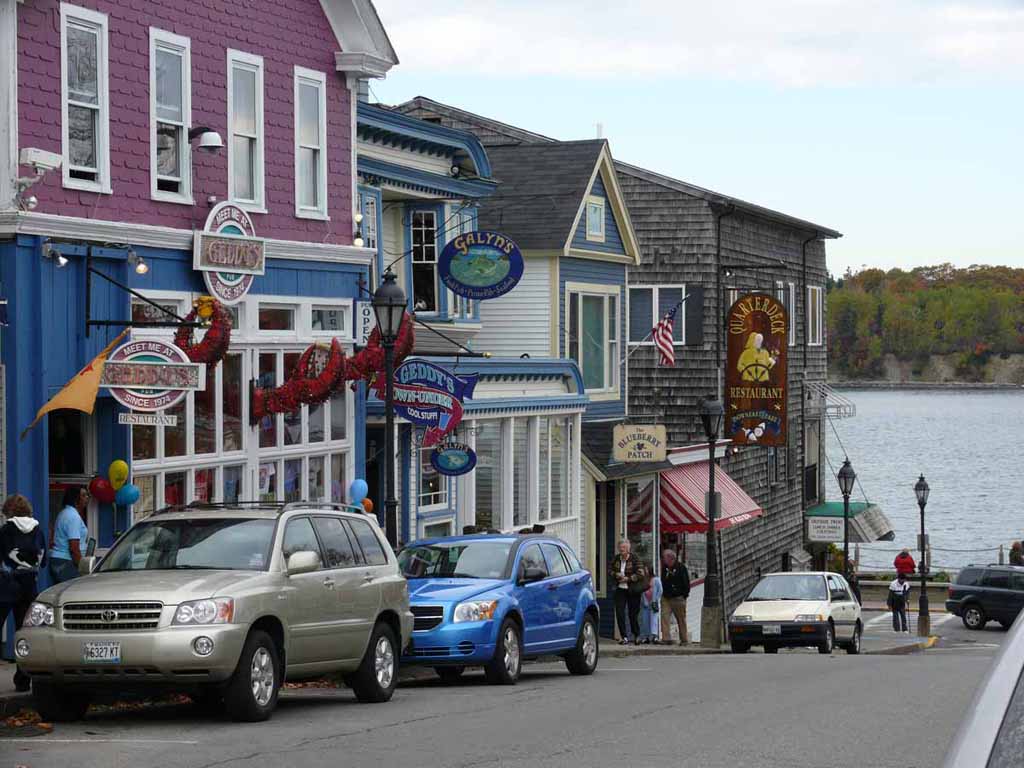
Next stop, Sydney Nova Scotia and some pretty vistas like this one. |
 |
|
|
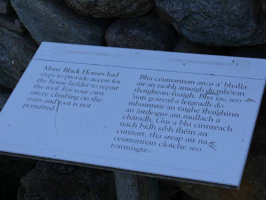
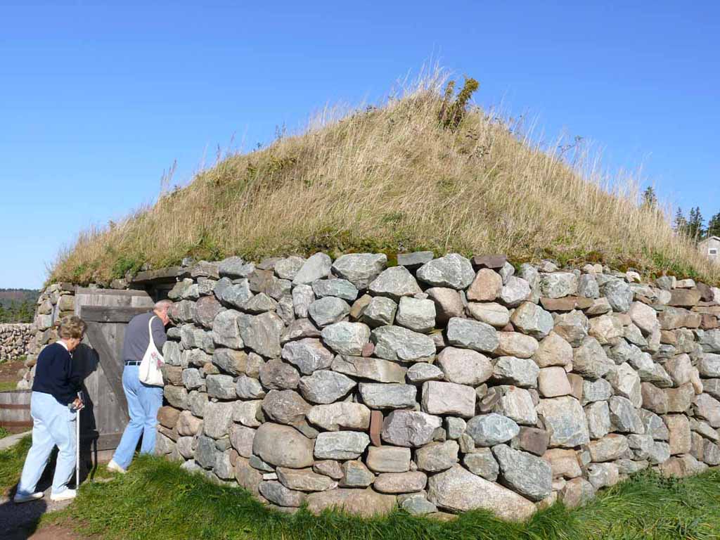
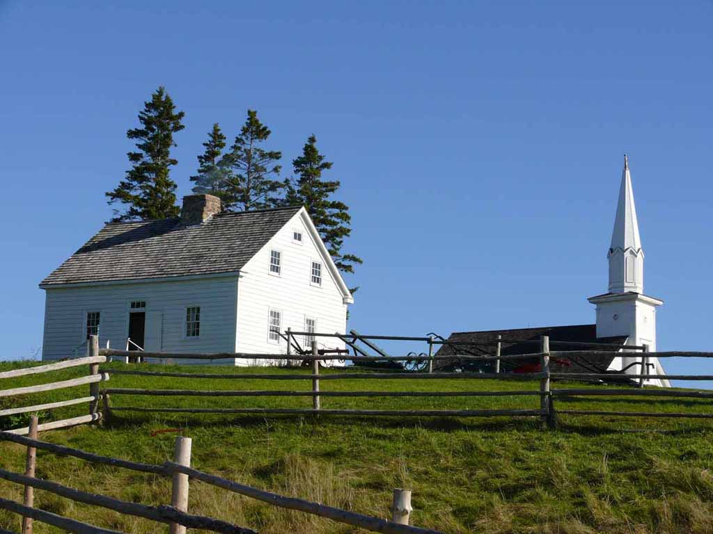
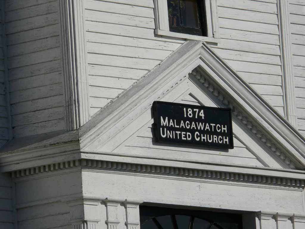
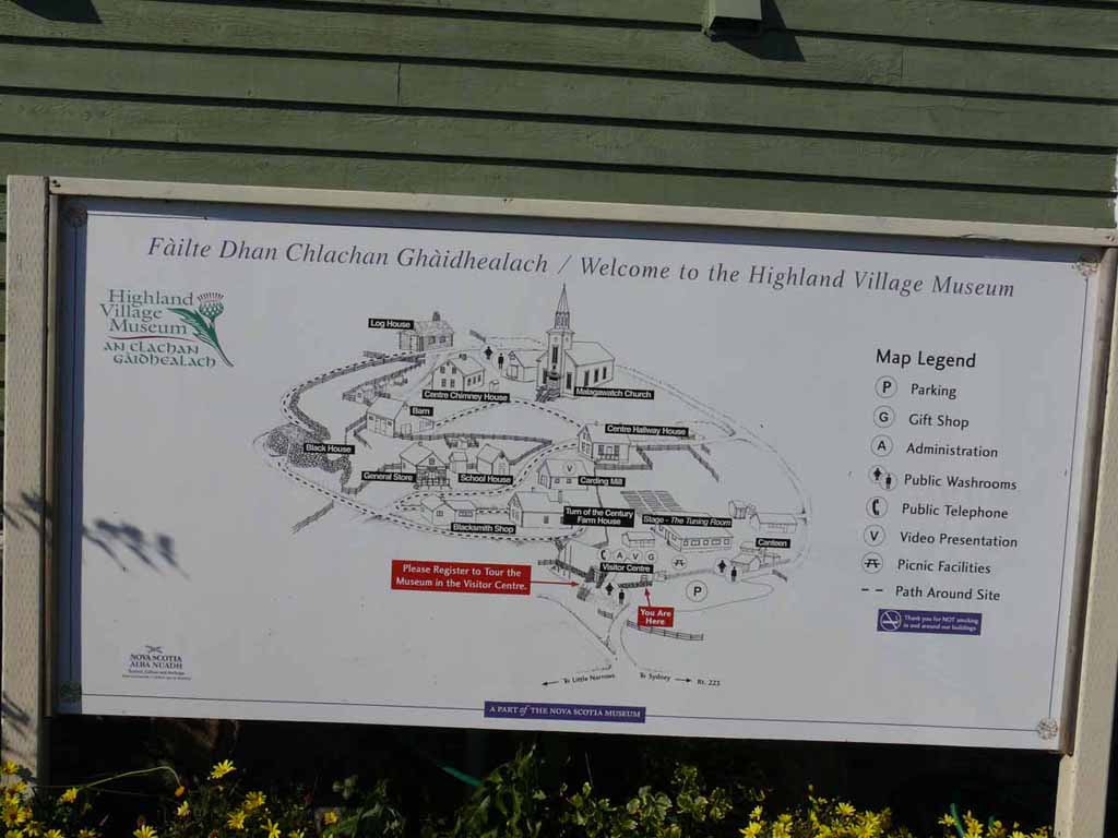
Here we are at the Highland Village. |
 |
|
|
|
 |
|
|
|
 |
|
|
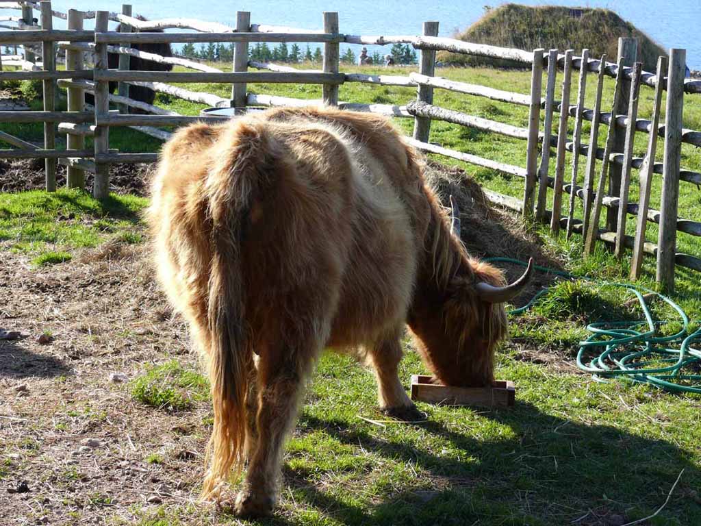
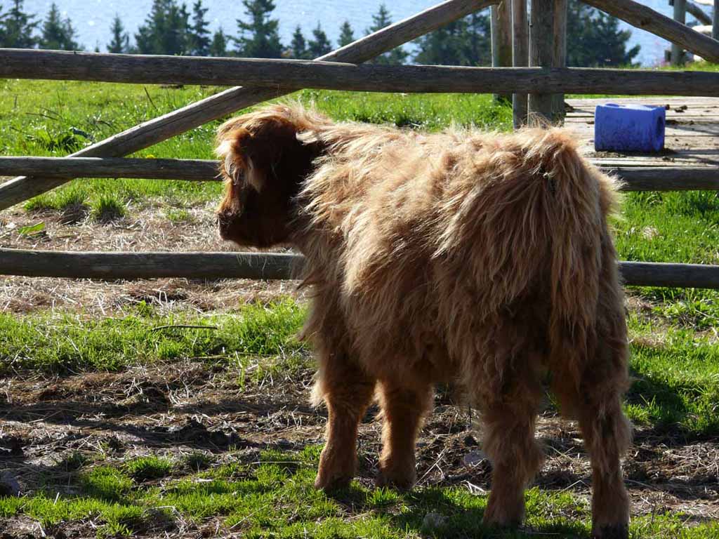
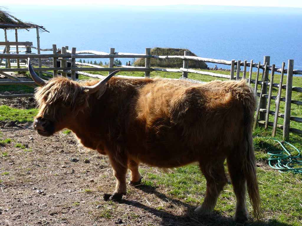
Highland Cattle. Until this point in time, I don't recall ever seeing a long hair cow |
 |
|
|
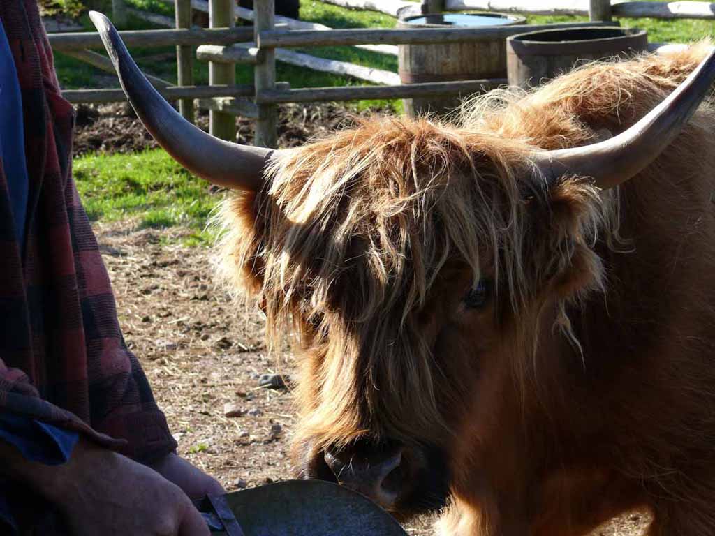
Cutie |
 |
|
|
|
 |
|
|
|
 |
|
|
|
 |
|
|
|
 |
|
|
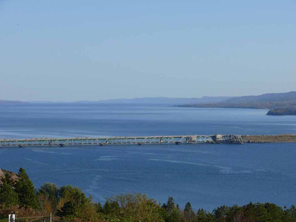
Looking up into Bras D'Ore Lake from atop the Hill at the Highland Museum . This long bridge is making the connection between Grand Narrows and Iona. |
 |
|
|
|
 |
|
|
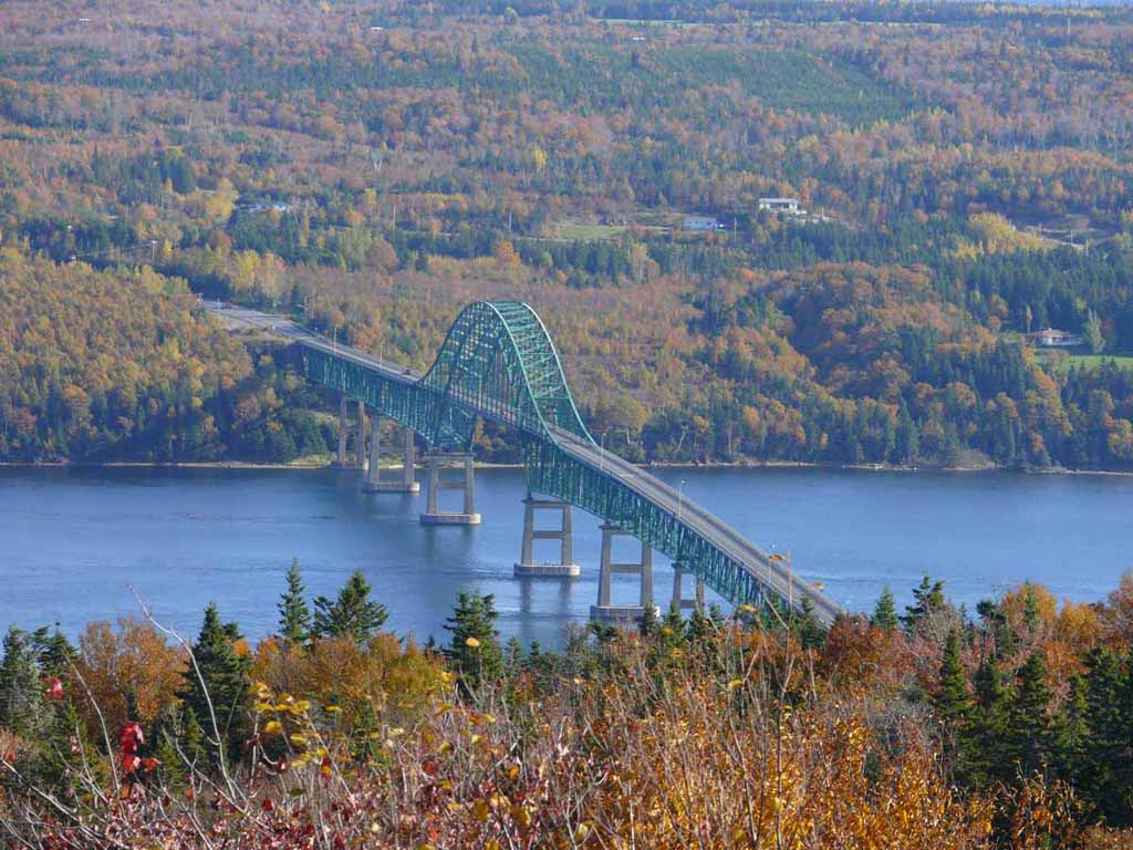
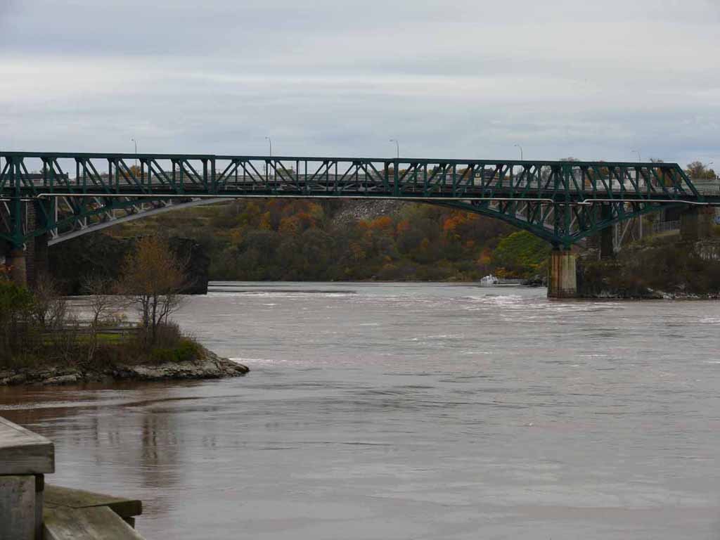
This bridge is part of the Trans Canada Highway. Crossing the waterway coming into Bras D'Or Lake |
 |
|
|
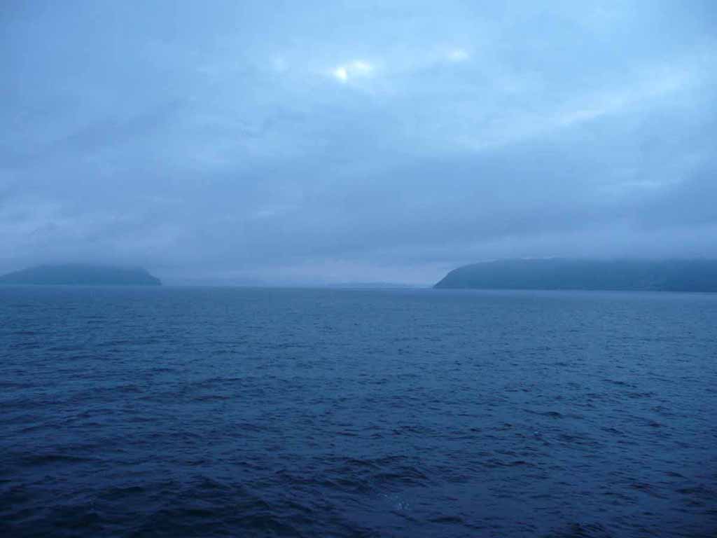
Looking out into Cabot Strait |
 |
|
|
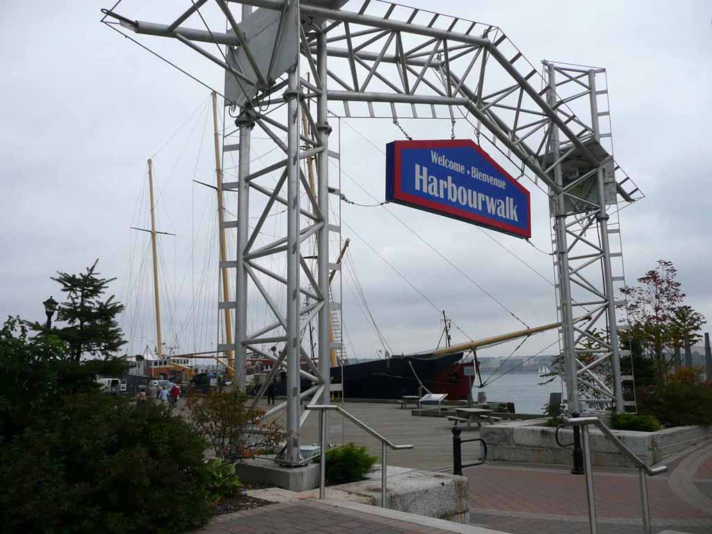
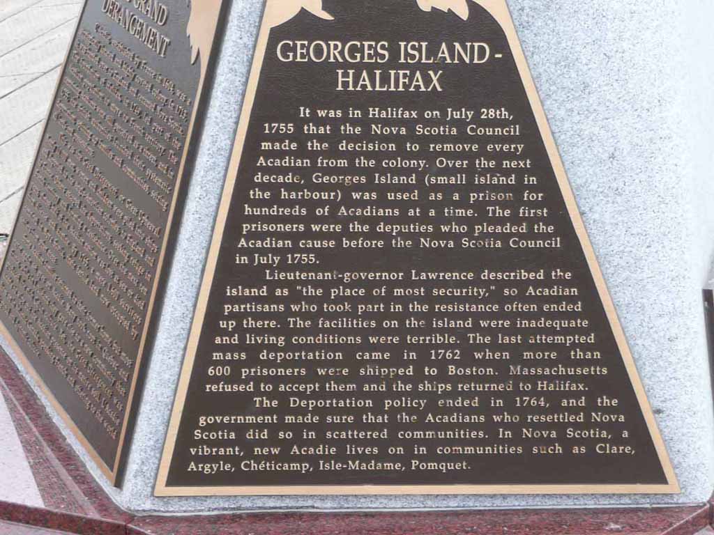
Welcome to Halifax Nova Scotia. |
 |
|
|
A sailing vessel undergoing fix-up |
 |
|
|
Island picture below |
 |
|
|
|
 |
|
|
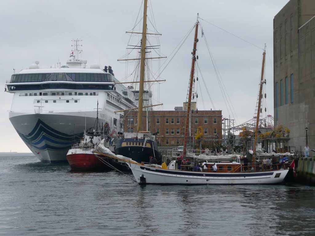
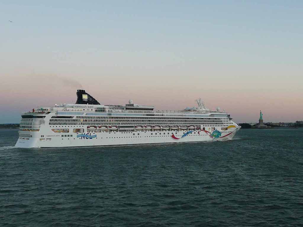
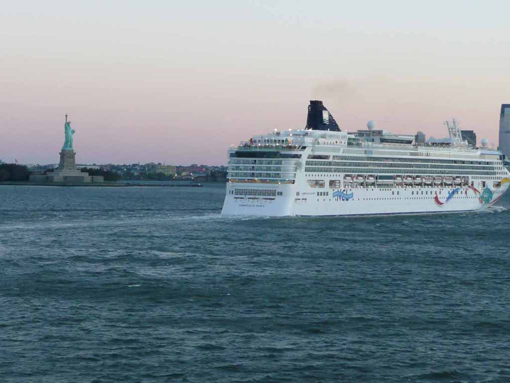
NCL was in port with us. We're just behind the Norwegian ship and behind the large yellow mast. |
 |
|
|
Cars coming into port. |
 |
|
|
|
 |
|
|
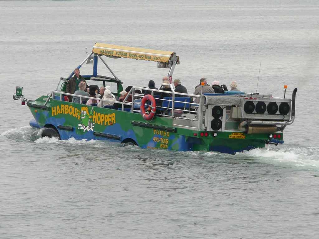
We didn't do the duck ride this time, but it looks like fun. |
 |
|
|
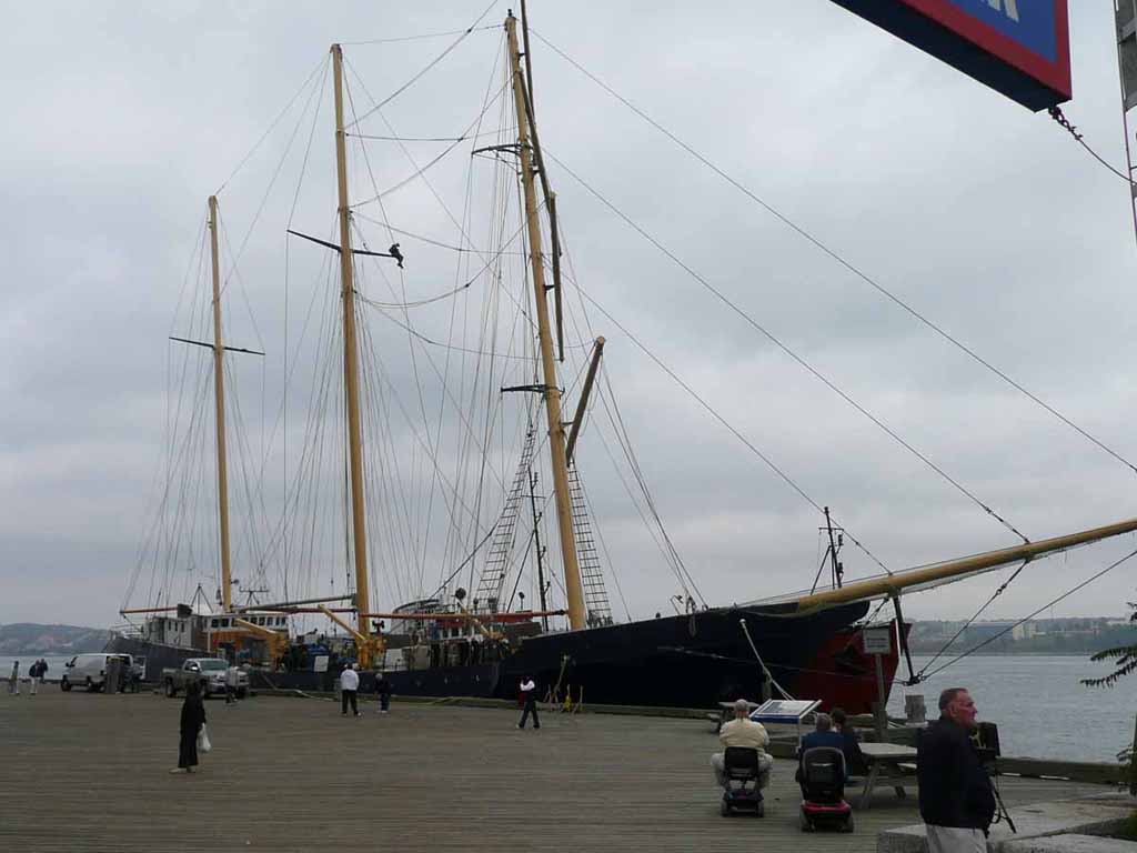
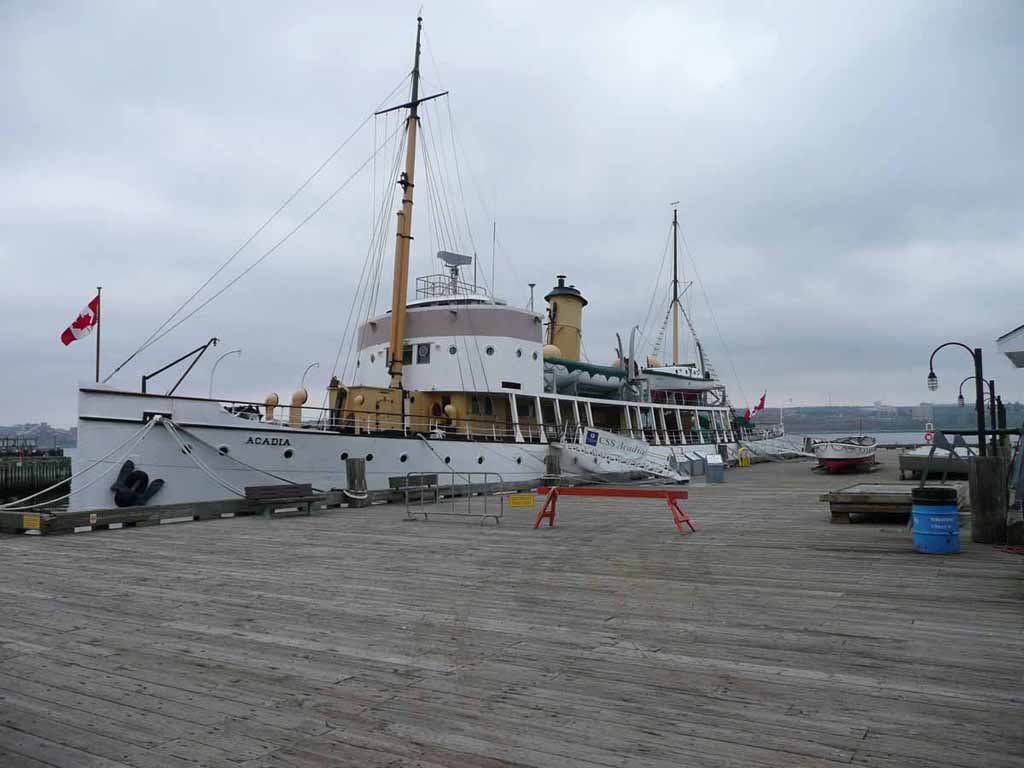
1913 Acadia. Part of the Maritime Museum in Halifax. Used by the Canadian Govt for 56 years to do charting of the ocean floor. |
 |
|
|
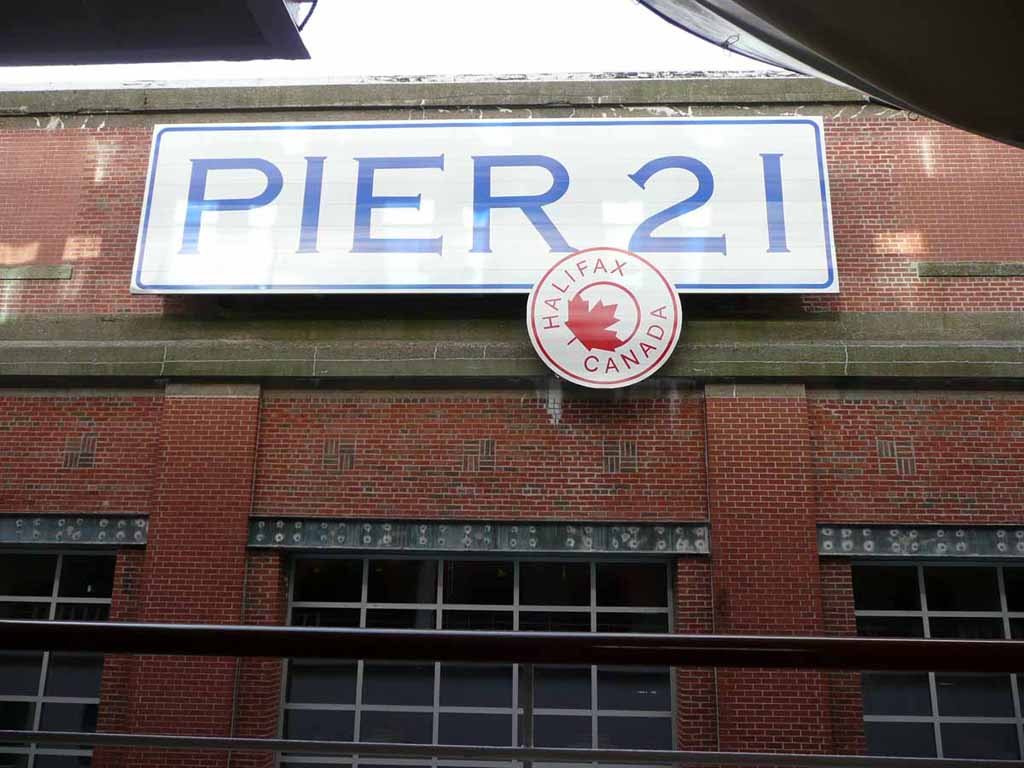
Needless to say, we were at Pier 21 |
 |
|
|
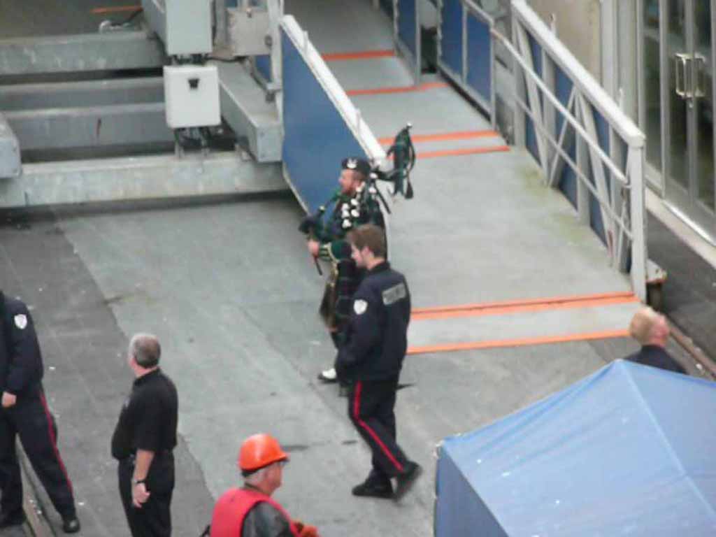
Our bagpipe send off. This Canuks are a good bunch. |
 |
|
|
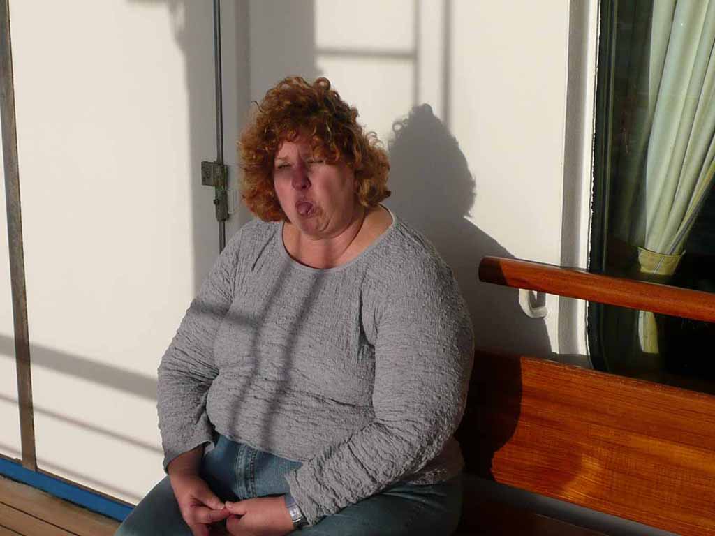
Patty and I enjoying a bit of Sunshine on deck as we departed Halifax. No Halifaxians, her sendoff here was not aimed at you. :-) |
 |
|
|
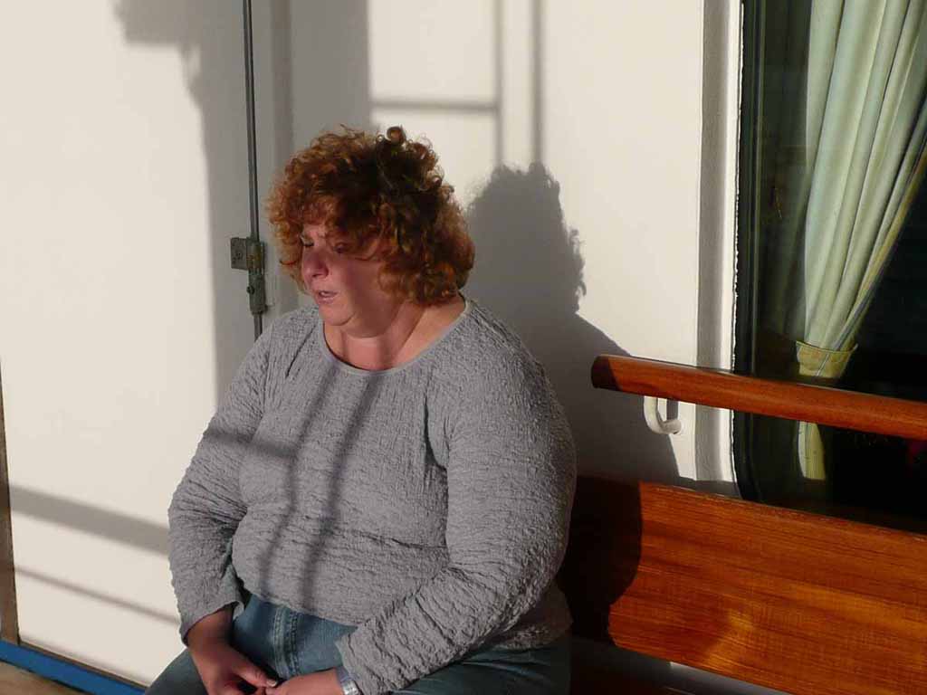
Too late to look the other way dear, I already got the shot above. |
 |
|
|
Good by to our Pilot |
 |
|
|
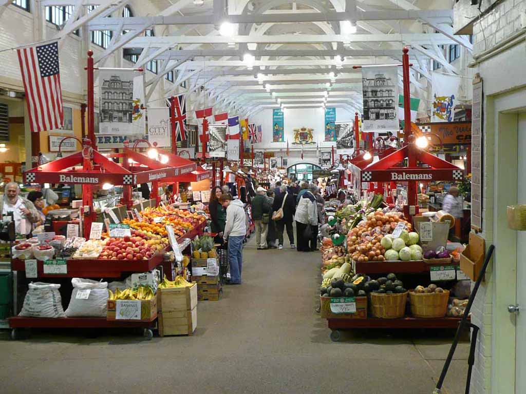
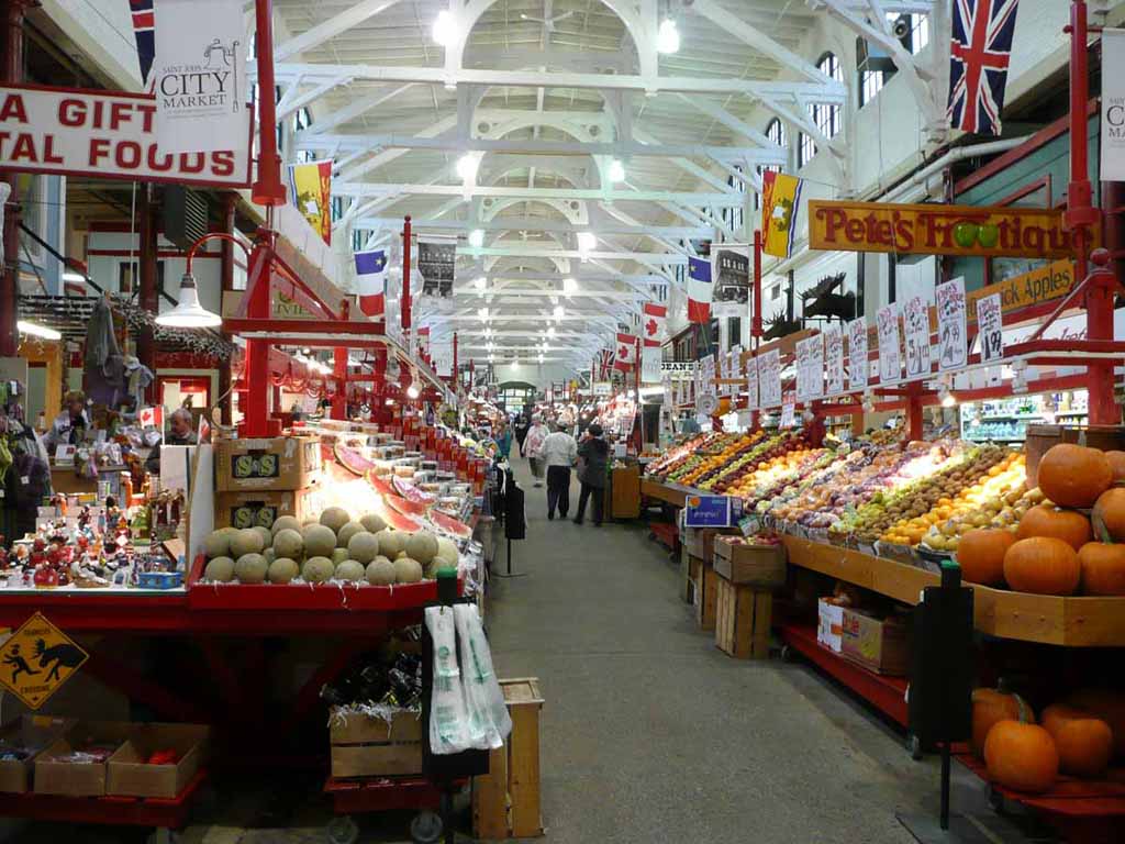
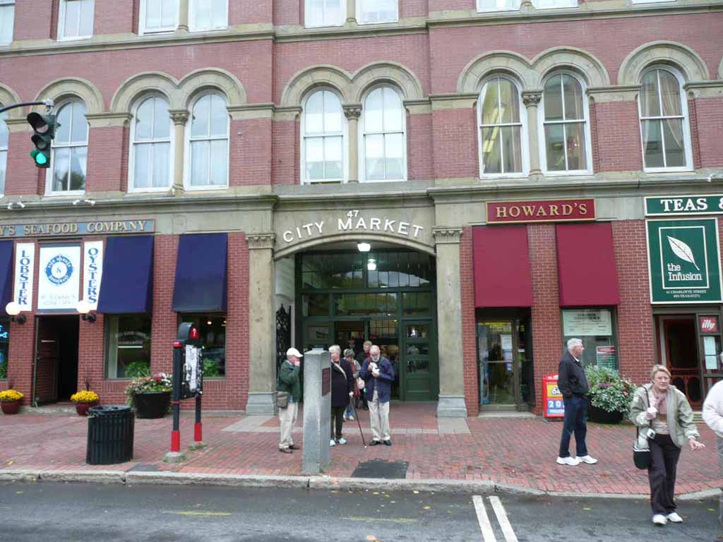
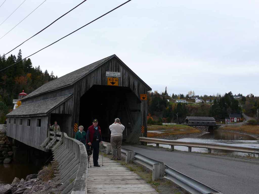
Whoo Hoo. Inside the City Market in Saint John New Brunswick. The market actually follows the slope of the hill is was built on. This is from the top looking down. |
 |
|
|
And bottom looking up. |
 |
|
|
And the upper entrance. |
 |
|
|
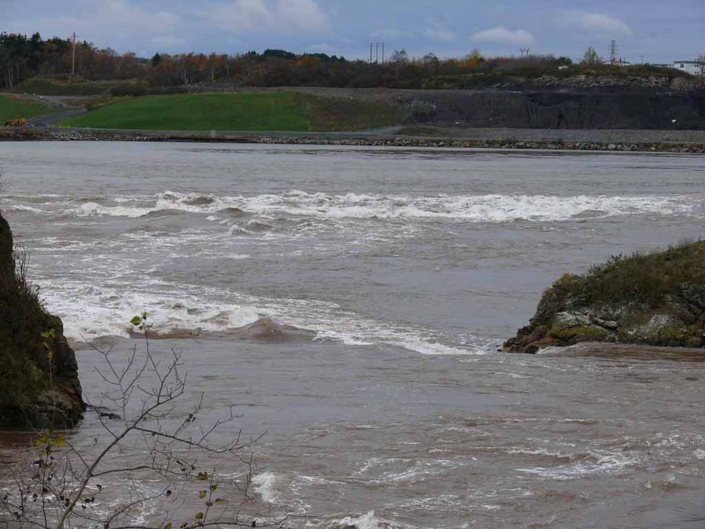
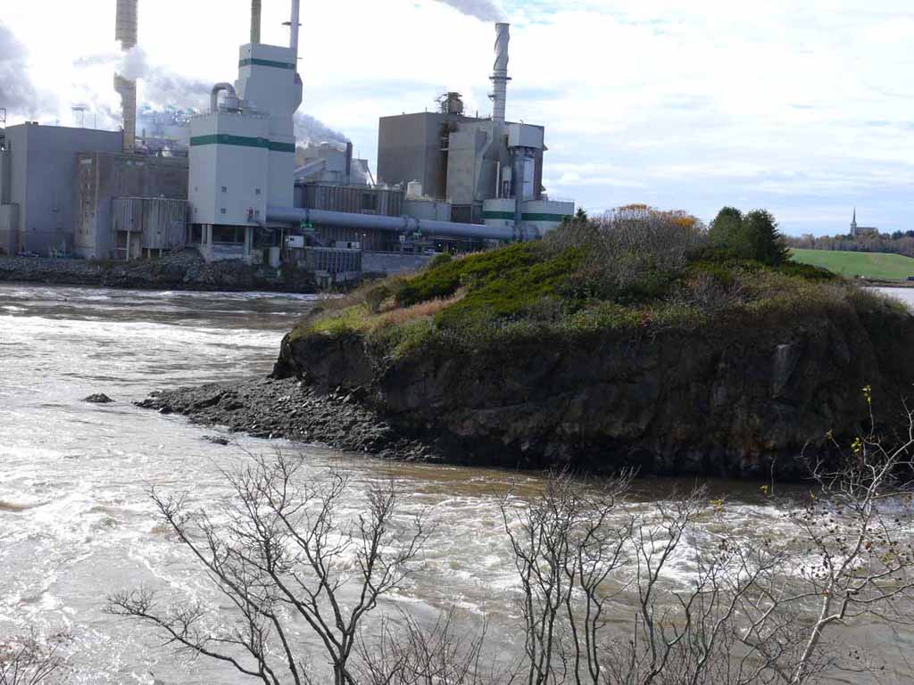
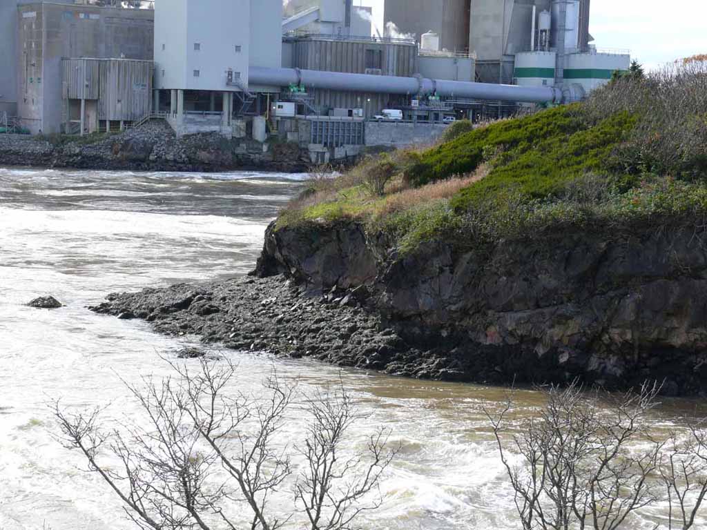
Here's the reversing Rapids. |
 |
|
|
Twice per day, the direction of the rapids (and the river) reverses because of the huge tides they have in Saint John. Something like 28 feet. Tide in, river runs backwards. Tide out, river runs out to the sea. Here, it was inbound. Later on in the pictures below, you will see it going the other way. |
 |
|
|
Another shot of the river. |
 |
|
|
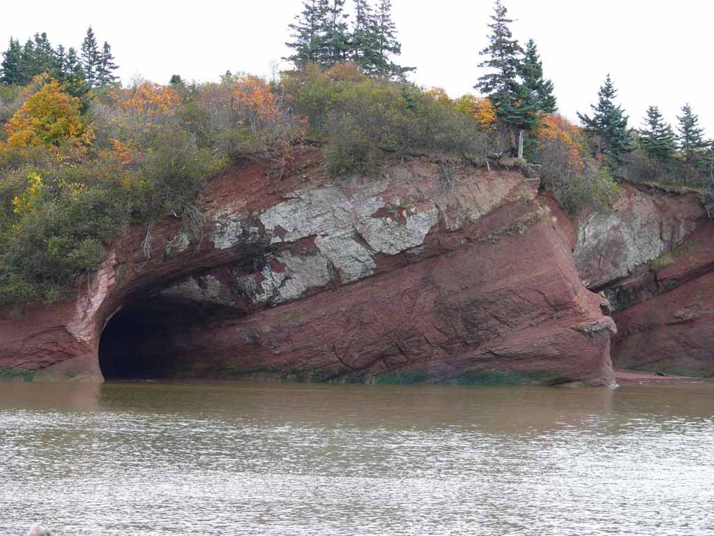
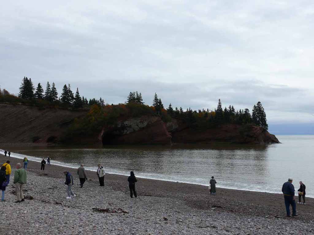
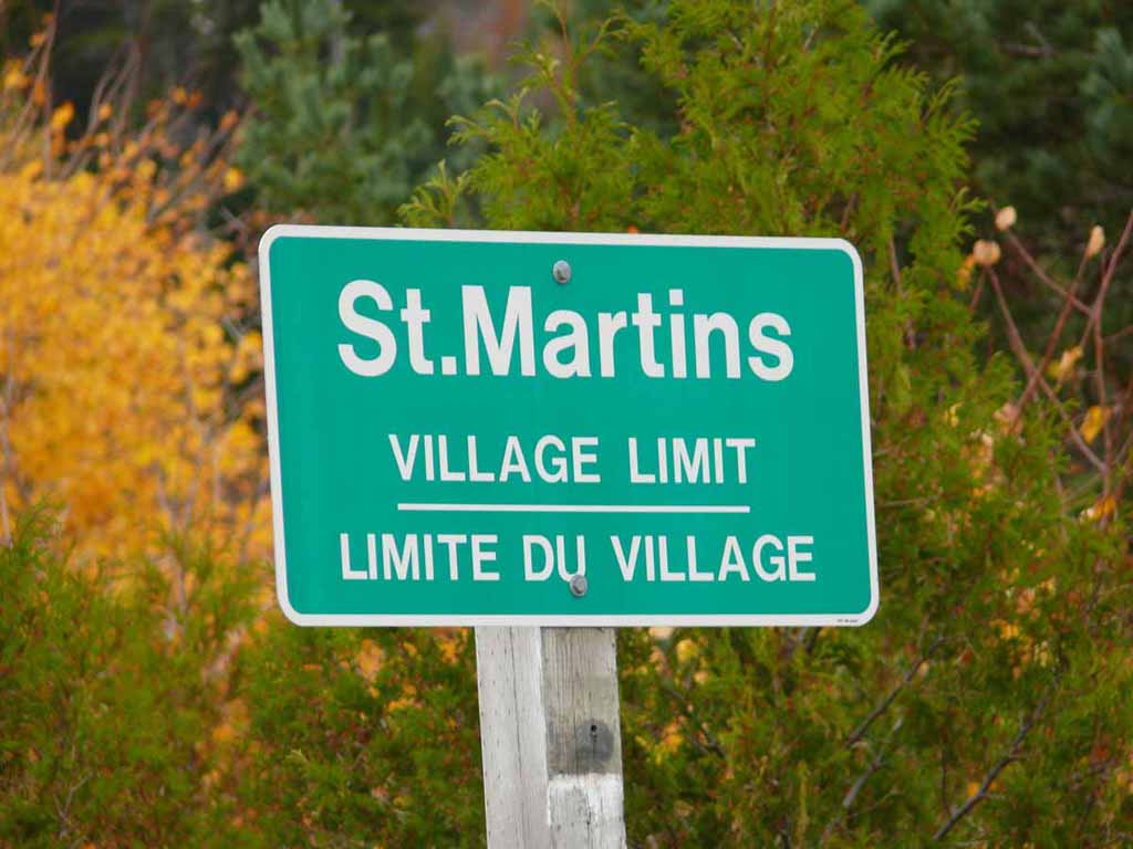
Here we are in St Martins. These are the Sea caves. At low tide, you can go into these caves and look around. |
 |
|
|
|
 |
|
|
|
 |
|
|
After our lunch at the Cave View Restaurant, everyone was looking for particular stones outside the seas caves. Sorry, can't remember what kind of stone it was. |
 |
|
|
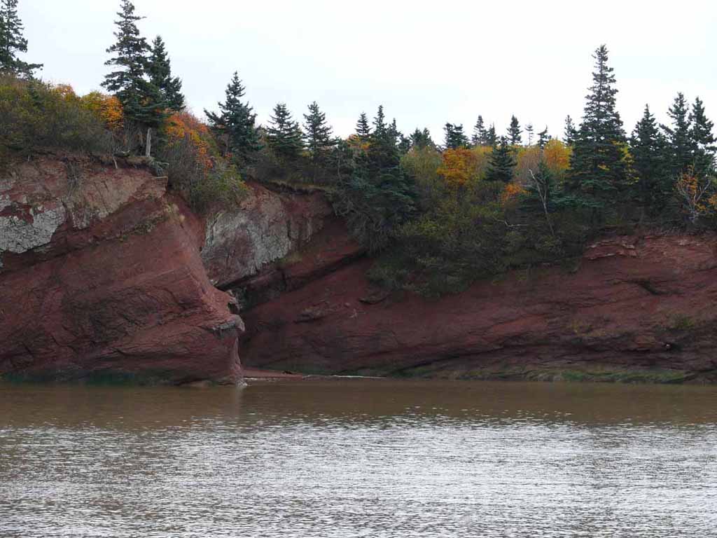
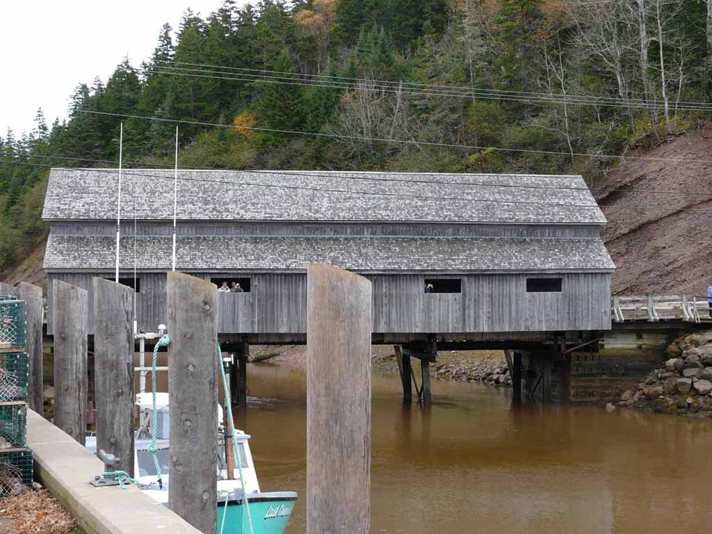
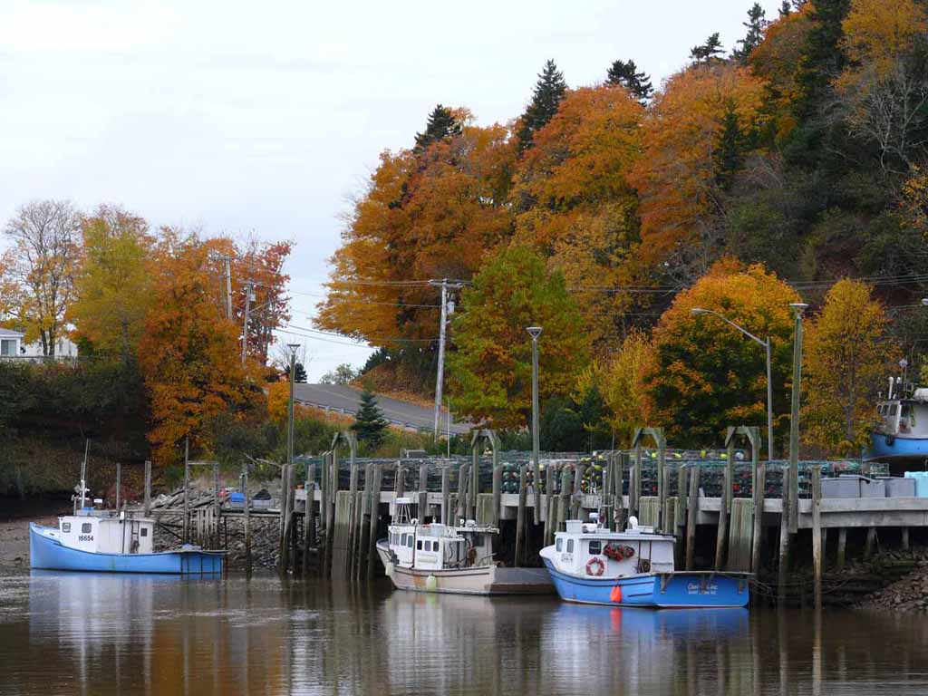
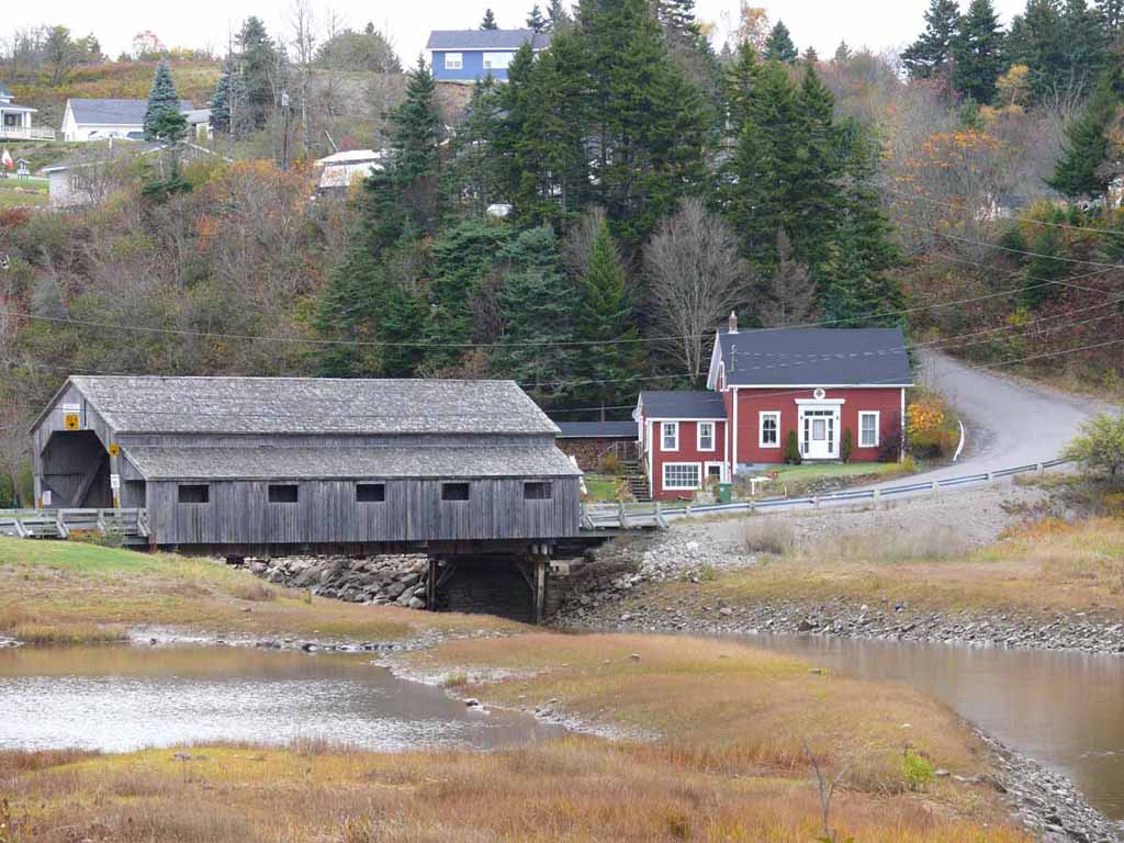
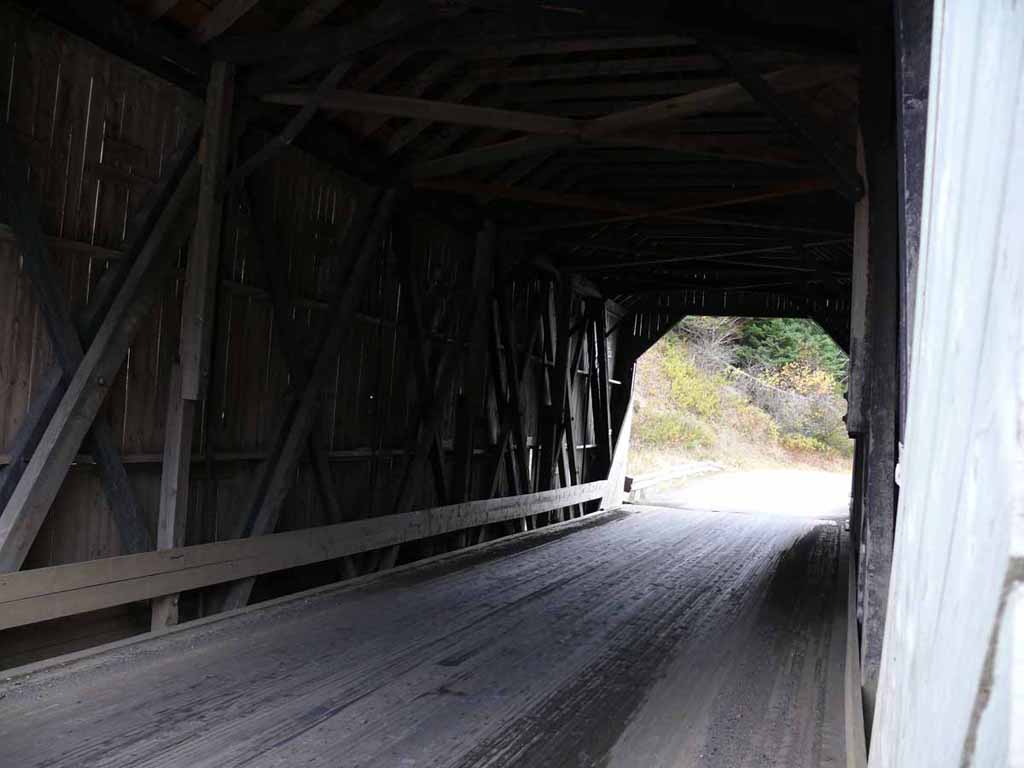
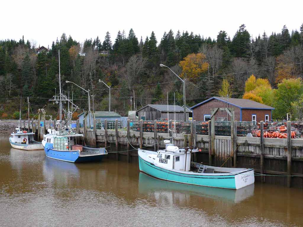
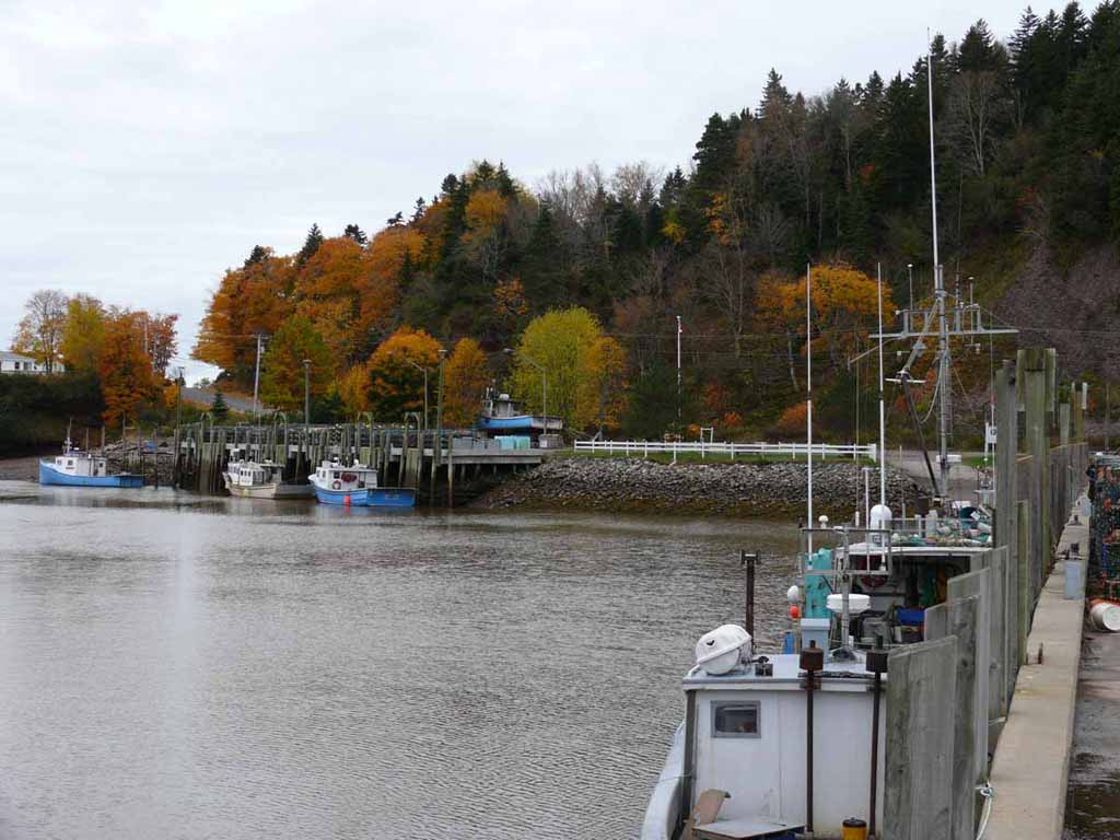
Two covered bridges and scenes from the harbor at St Martins. |
 |
|
|
|
 |
|
|
|
 |
|
|
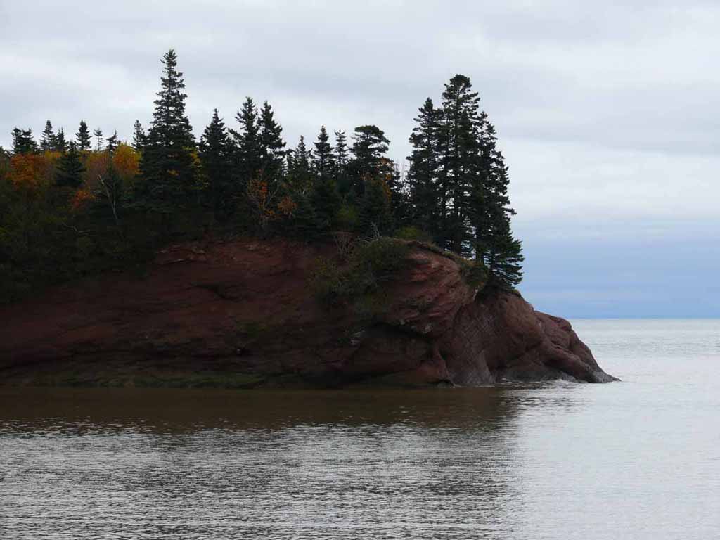
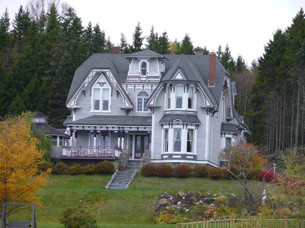
I really like this one. I think it's my best Fall Color shot of the whole cruise. |
 |
|
|
|
 |
|
|
|
 |
|
|
|
 |
|
|
|
 |
|
|
|
 |
|
|
|
 |
|
|
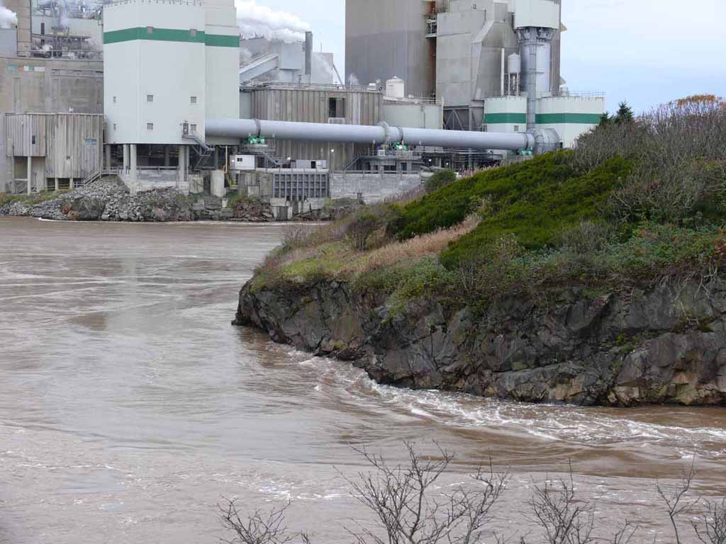
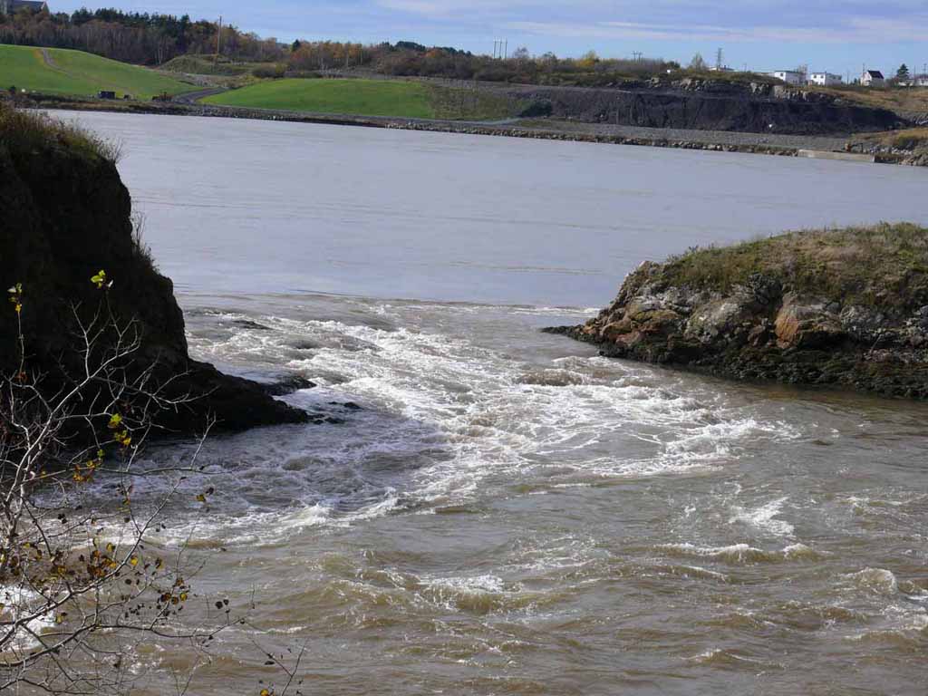
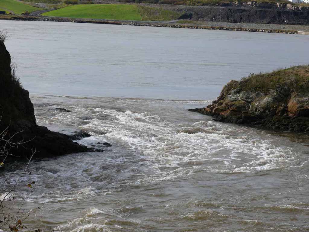
Here we are back at the reversing rapids again. Now the river is running OUT to he ocean again. |
 |
|
|
Note how you can see the rocks at the left side of the little island here that you couldn't see before. Plus the water runinng the other way. |
 |
|
|
|
 |
|
|
|
 |
|
|
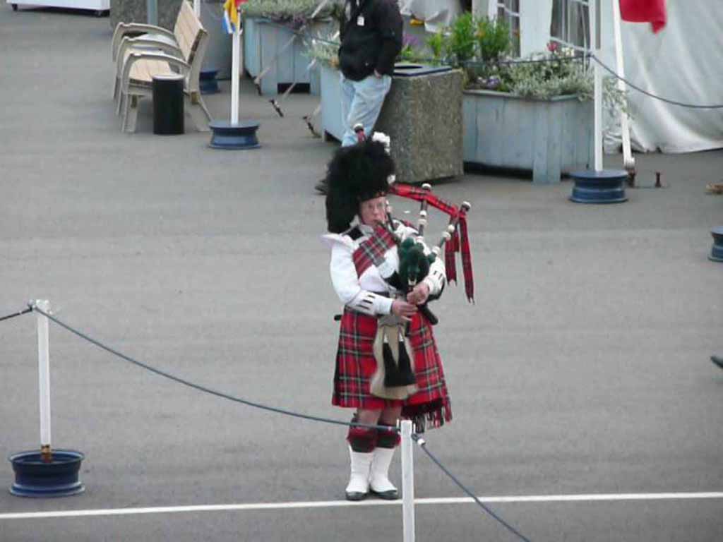
Another bagpipe sendoff from our Saint John friends. |
 |
|
|
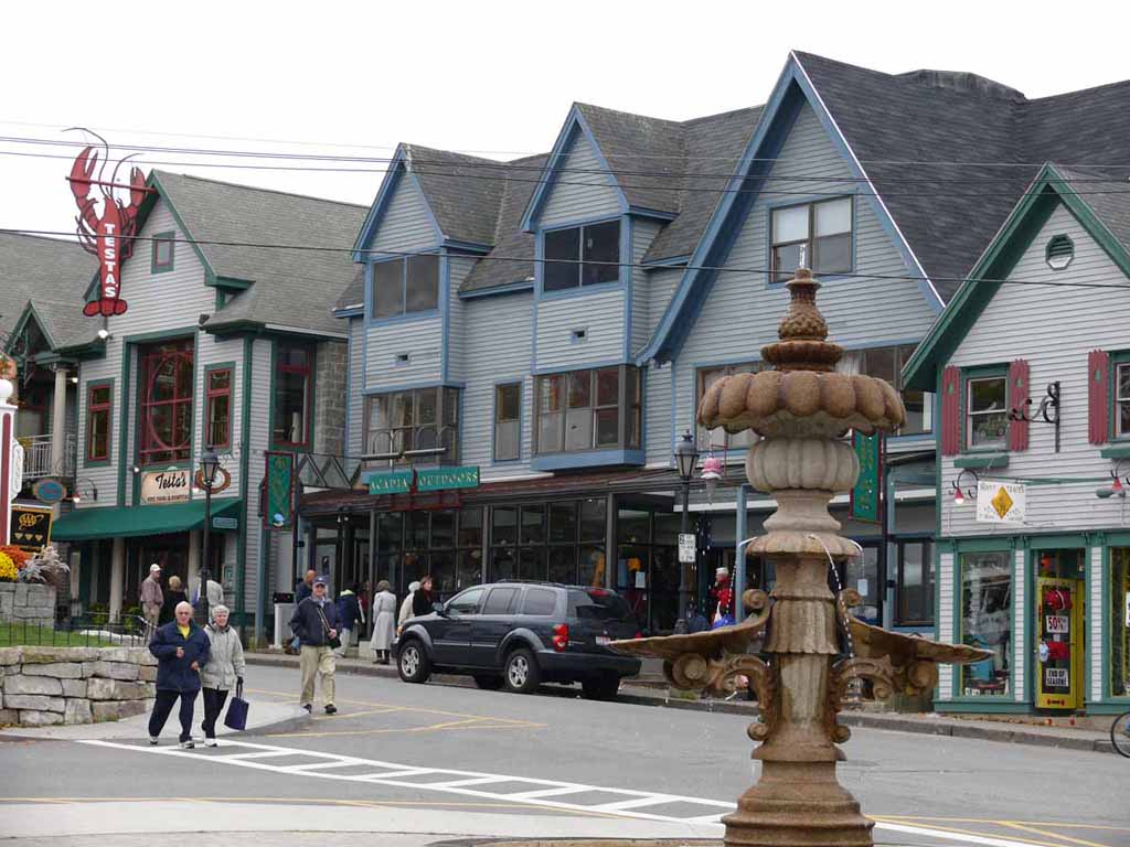
Welcome to Baa Haaba (Bar Harbor) Main. |
 |
|
|
Some of the little shacks along the water. |
 |
|
|
|
 |
|
|
A little color remaining. |
 |
|
|
Looking across the little city park. |
 |
|
|
Shop shop shop |
 |
|
|
|
 |
|
|
|
 |
|
|
|
 |
|
|
Looking from town out over the city park (square). |
 |
|
|
|
 |
|
|
|
 |
|
|
|
 |
|
|
|
 |
|
|
|
 |
|
|
Our Princess awaits us. Anchored out in the Harbor |
 |
|
|
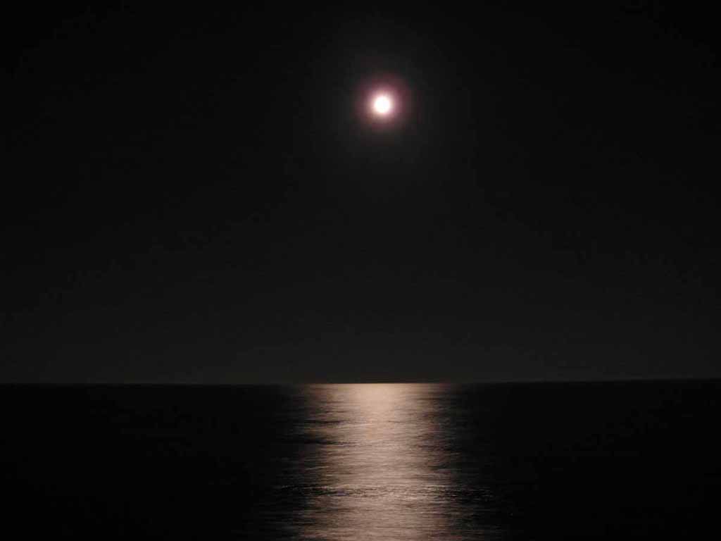
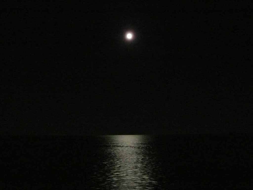
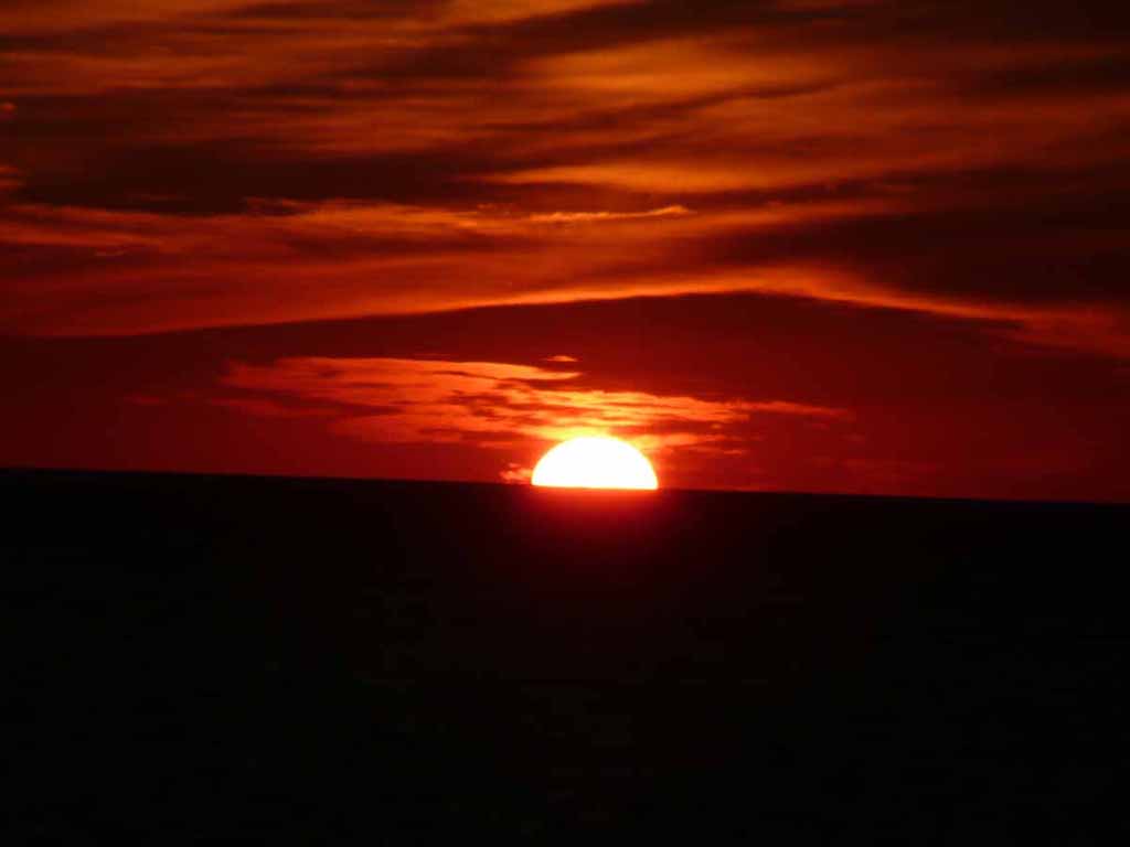
La Bella Luna. It was a very pretty moonlit night. |
 |
|
|
|
 |
|
|
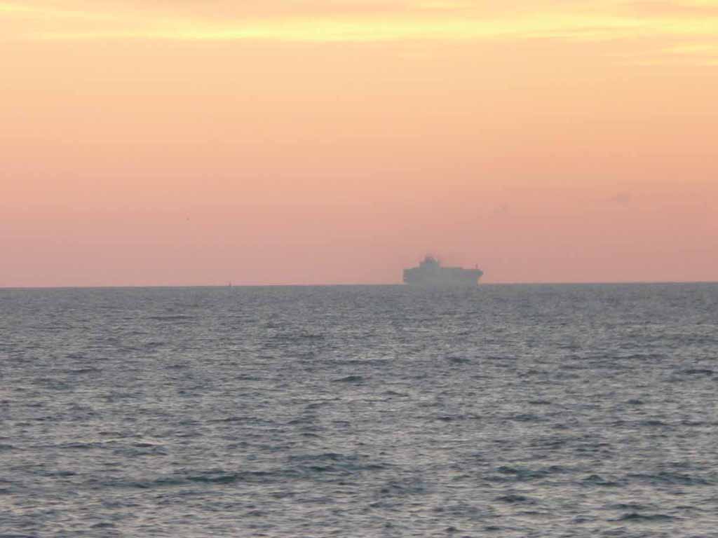
Early morning outside Boston. I think this was an Aircraft Carrier way out there. |
 |
|
|
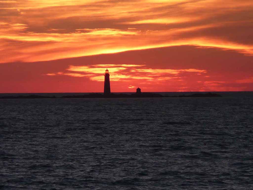
One of the lighthouses guiding you into Boston Harbor. Just before Sunrise. |
 |
|
|
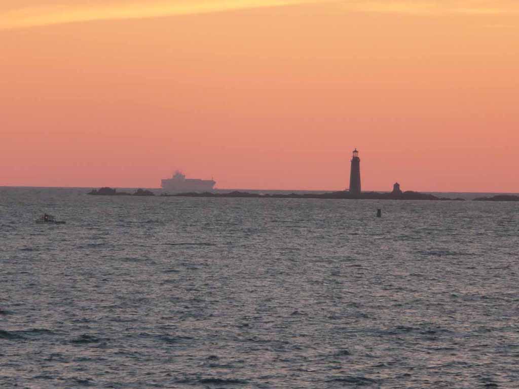
The carrier and light |
 |
|
|
Sunrise as we enter Boston Harbor |
 |
|
|
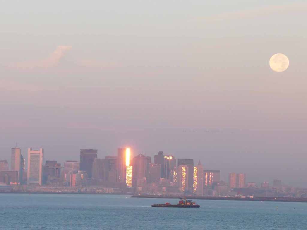
The full moon from the night before as it sets over the city with the sun rising behind us. |
 |
|
|
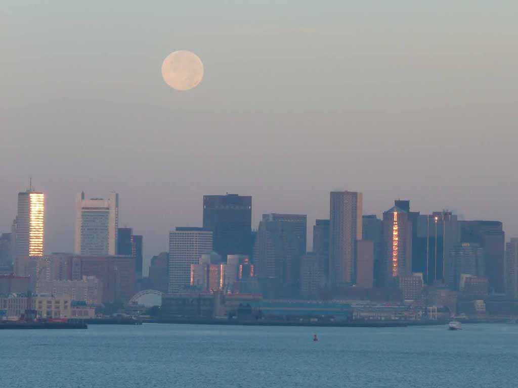
Another closer shot of the moon over Boston |
 |
|
|
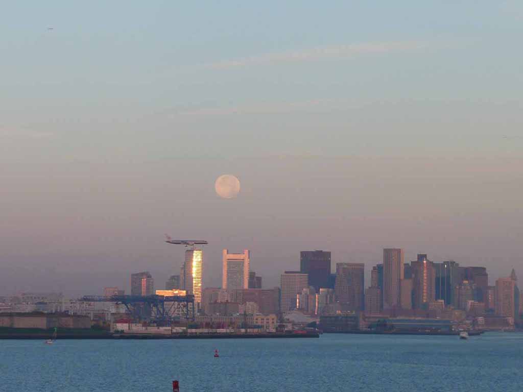
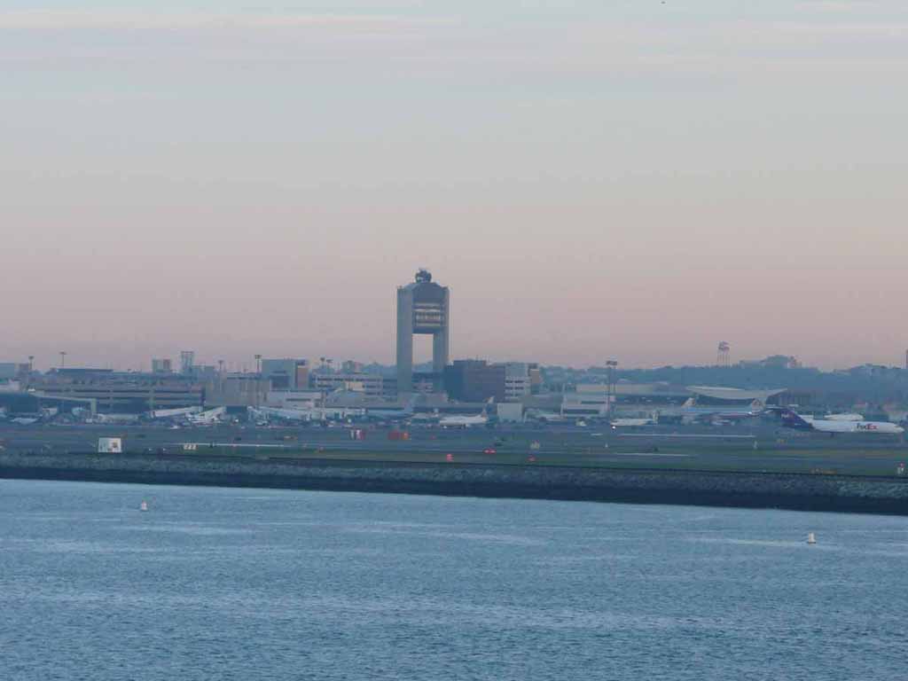
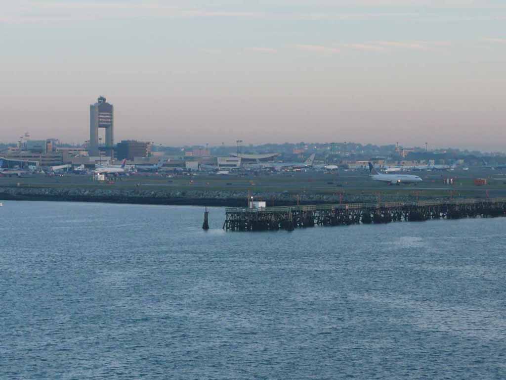
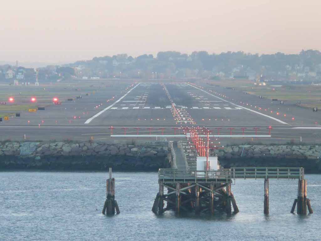
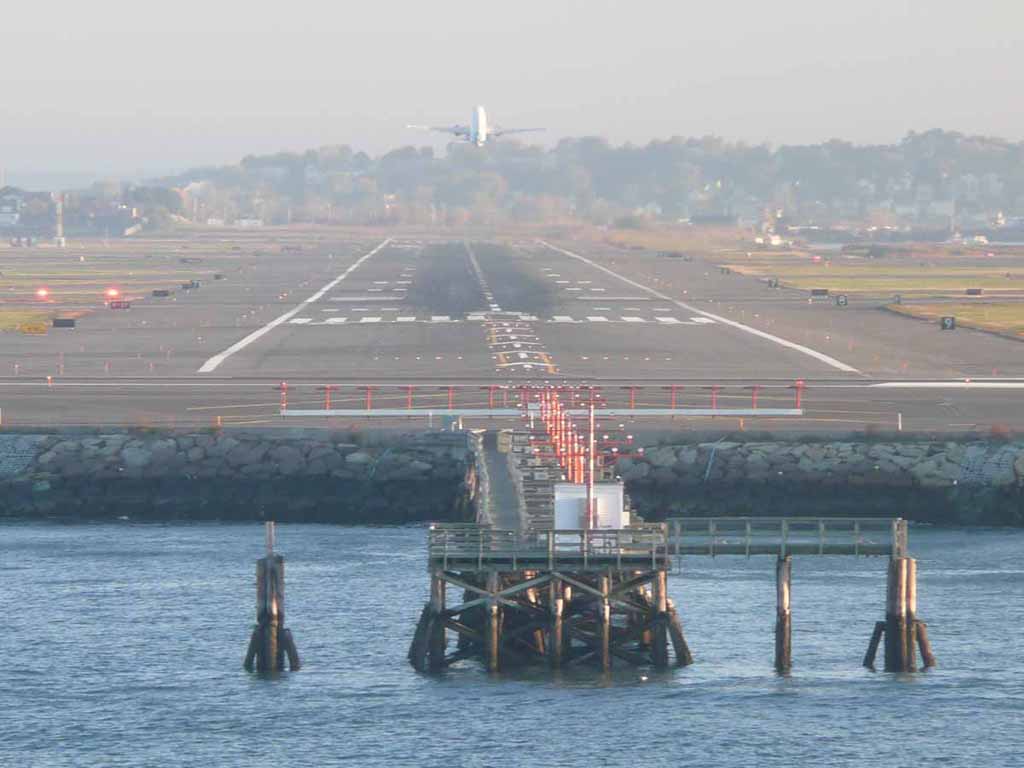
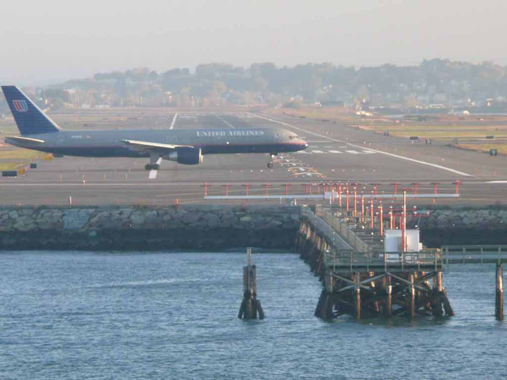
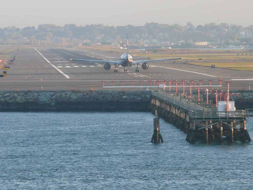
A plane coming in for a landing at Logan International Airport. They come pretty close overhead when the ship passes the end of the runway |
 |
|
|
Logan field. |
 |
|
|
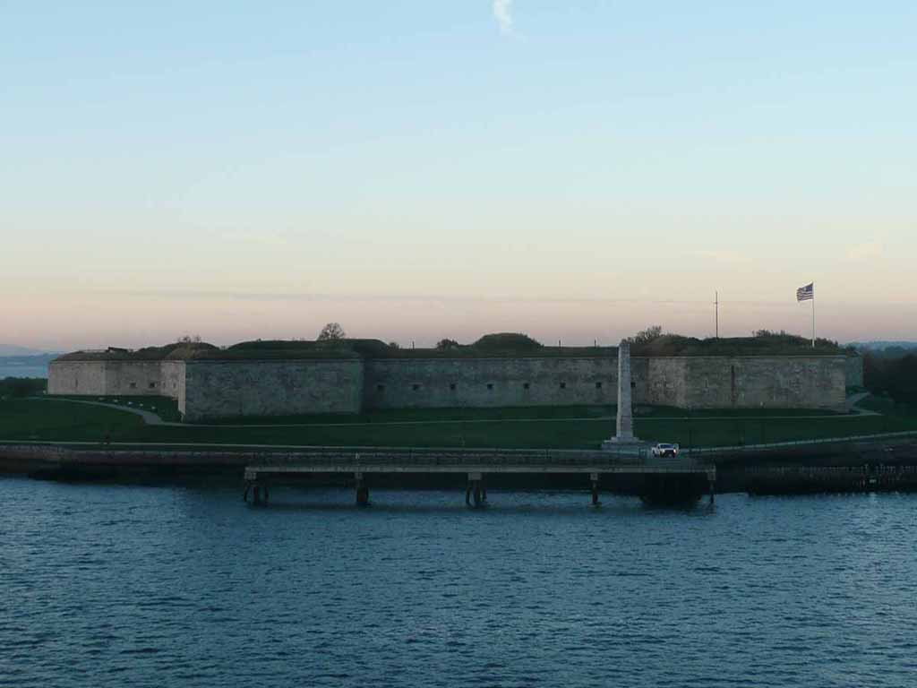
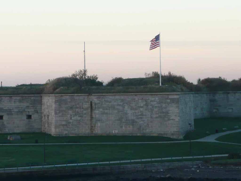
Fort Independence Park in Boston Harbor. |
 |
|
|
|
 |
|
|
|
 |
|
|
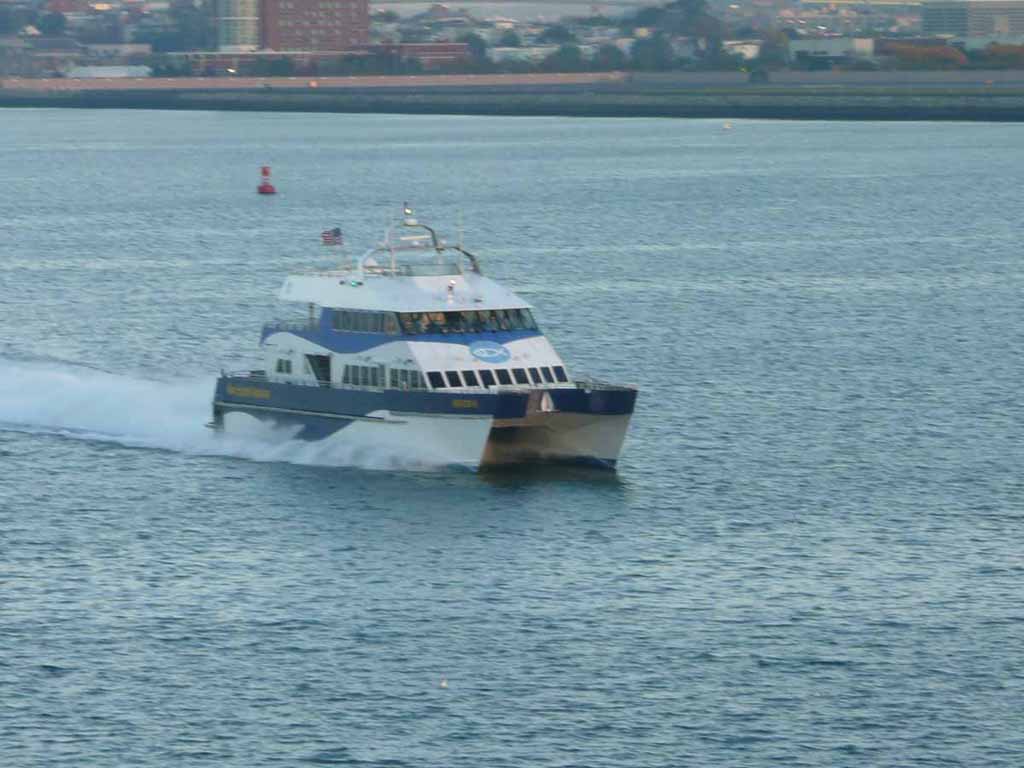
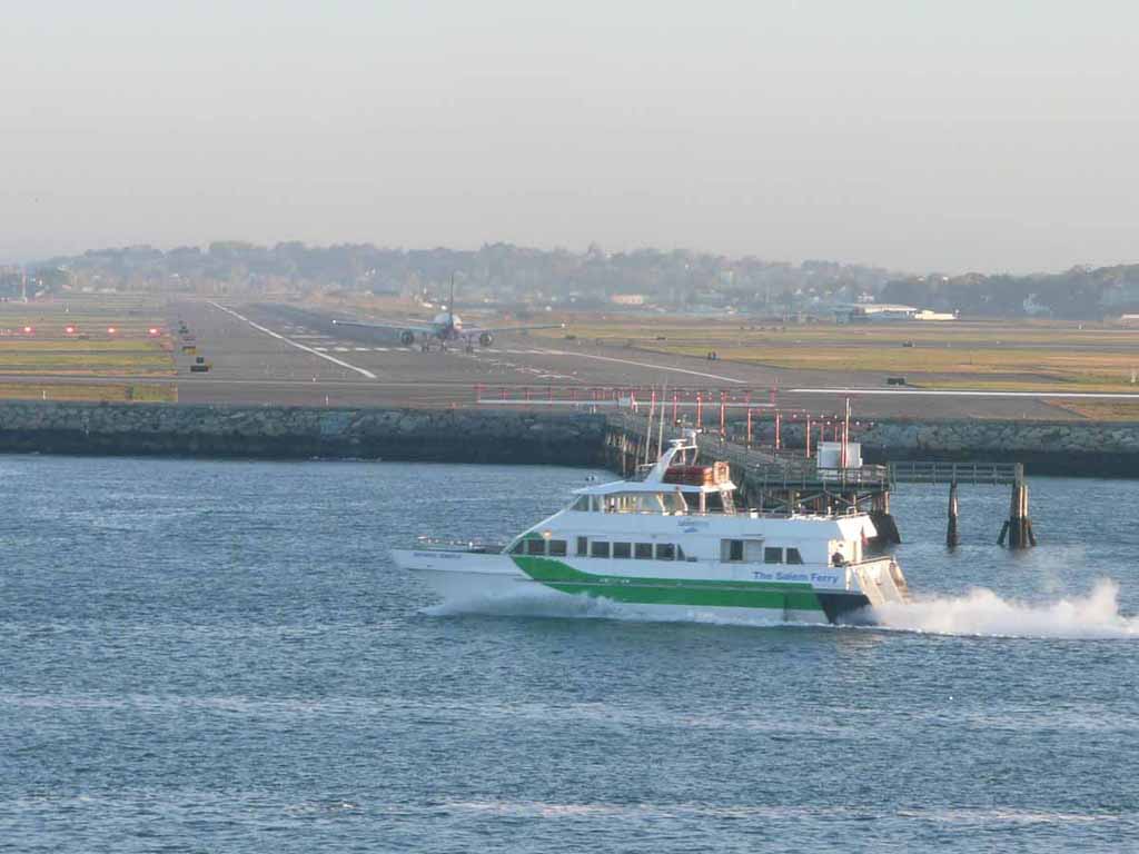
The high speed ferry to Provincetown |
 |
|
|
Our ship is clear to land |
 |
|
|
|
 |
|
|
|
 |
|
|
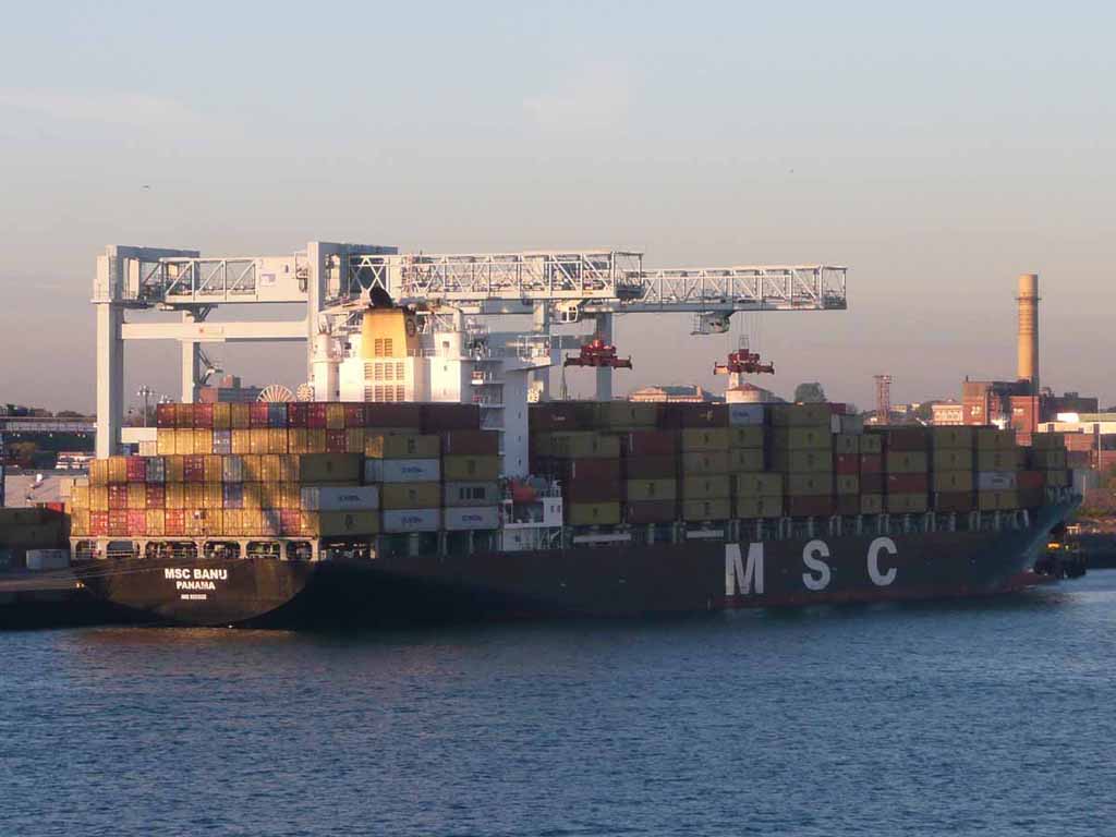
Lots of containers of Stuff, presumably arriving from across the world. |
 |
|
|
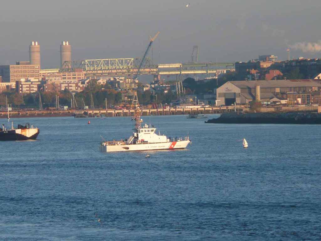
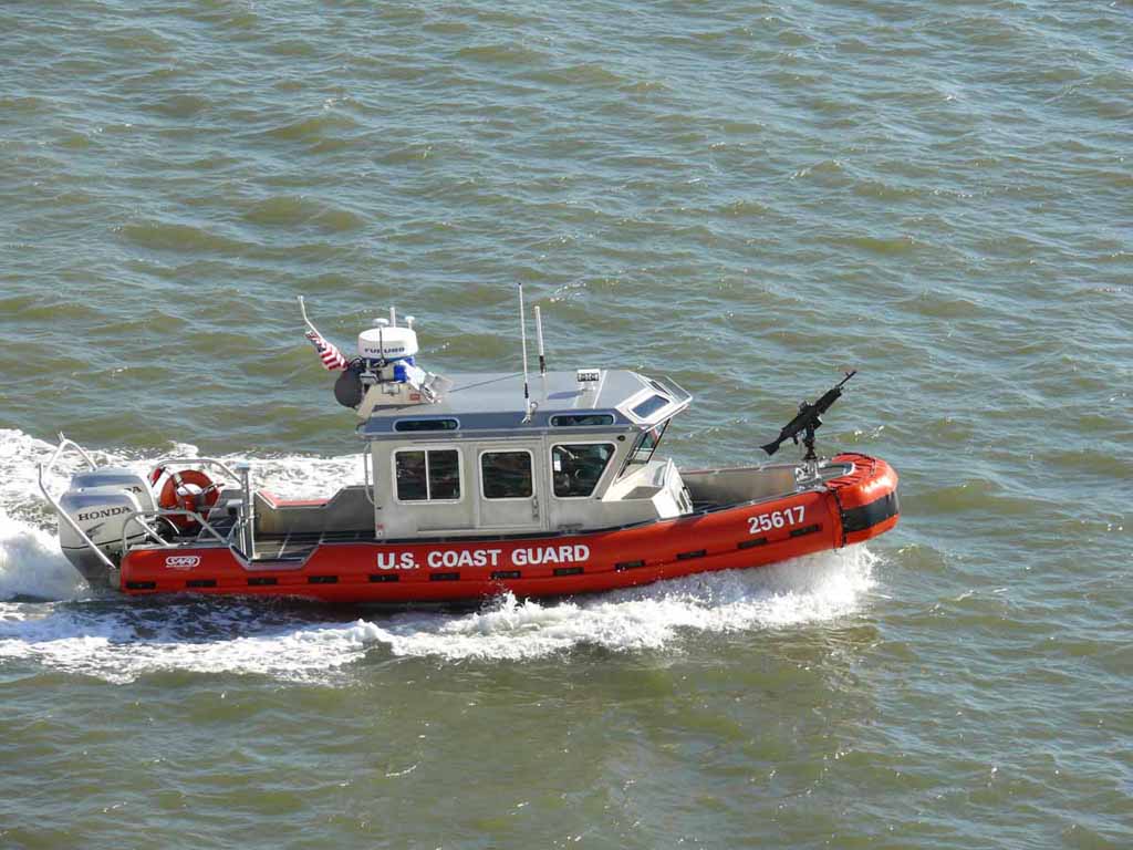
The U.S. Coast Guard on duty in the harbor |
 |
|
|
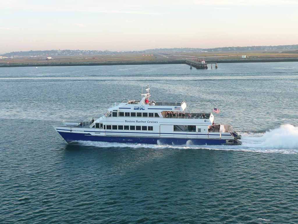
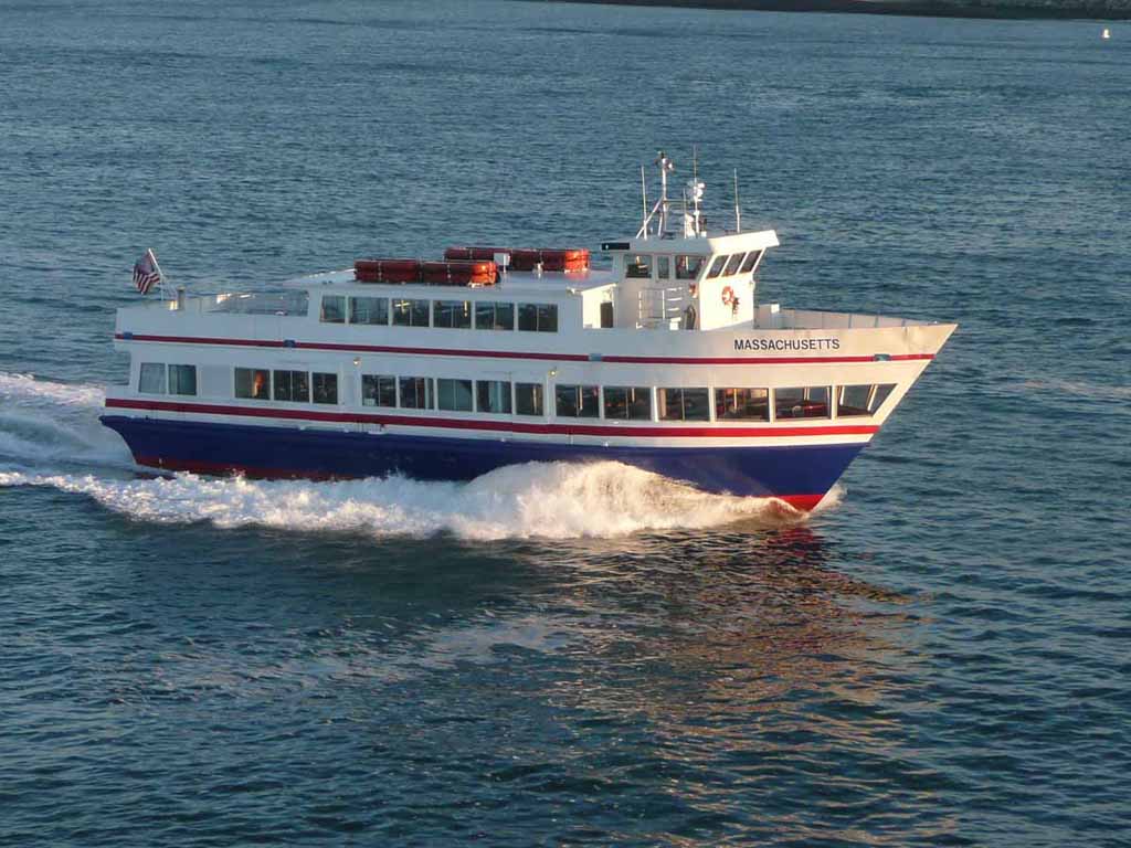
Another P-town ferry perhaps? |
 |
|
|
One takes off |
 |
|
|
Another taxi's into position |
 |
|
|
Clear to go |
 |
|
|
|
 |
|
|
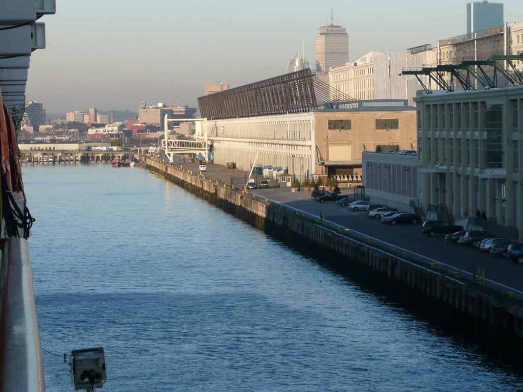
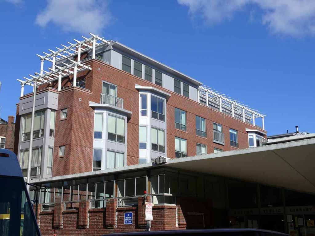
Here we are at the Black Falcon cruise ship terminal |
 |
|
|
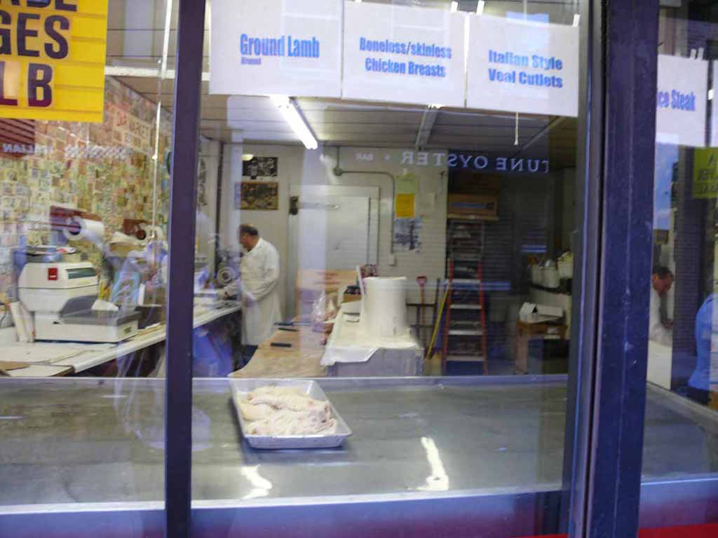
Here we are on our walking tour of the North End. Boston's Little Italy. Looking into a butcher shop. |
 |
|
|
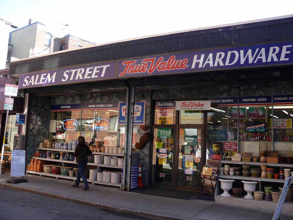
The local hardware. Pretty unusual for downtown Boston |
 |
|
|
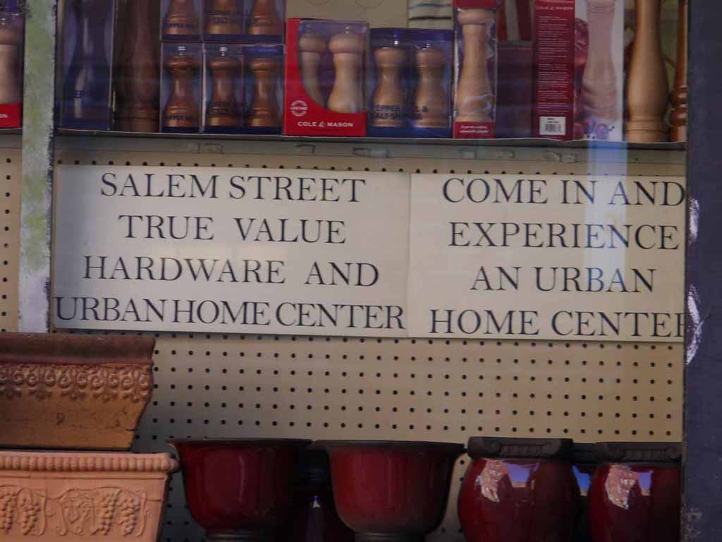
The "Urban Home Center" |
 |
|
|
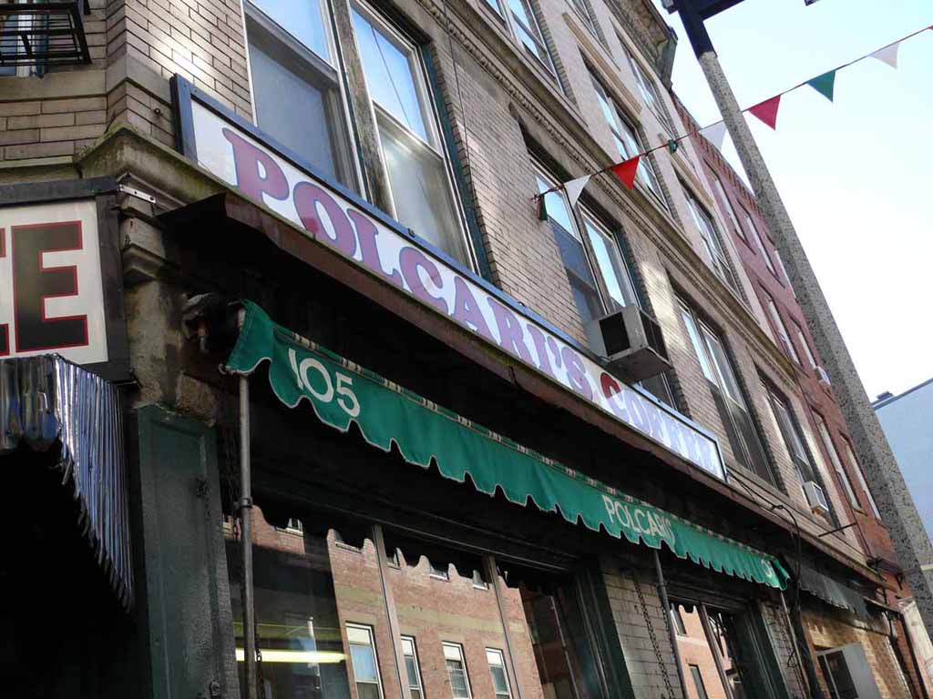
Polcari's: A little market selling all kinds of Coffee, Tea, Dried goods. |
 |
|
|
|
 |
|
|
New condo's. Big bucks to life here in the North End |
 |
|
|
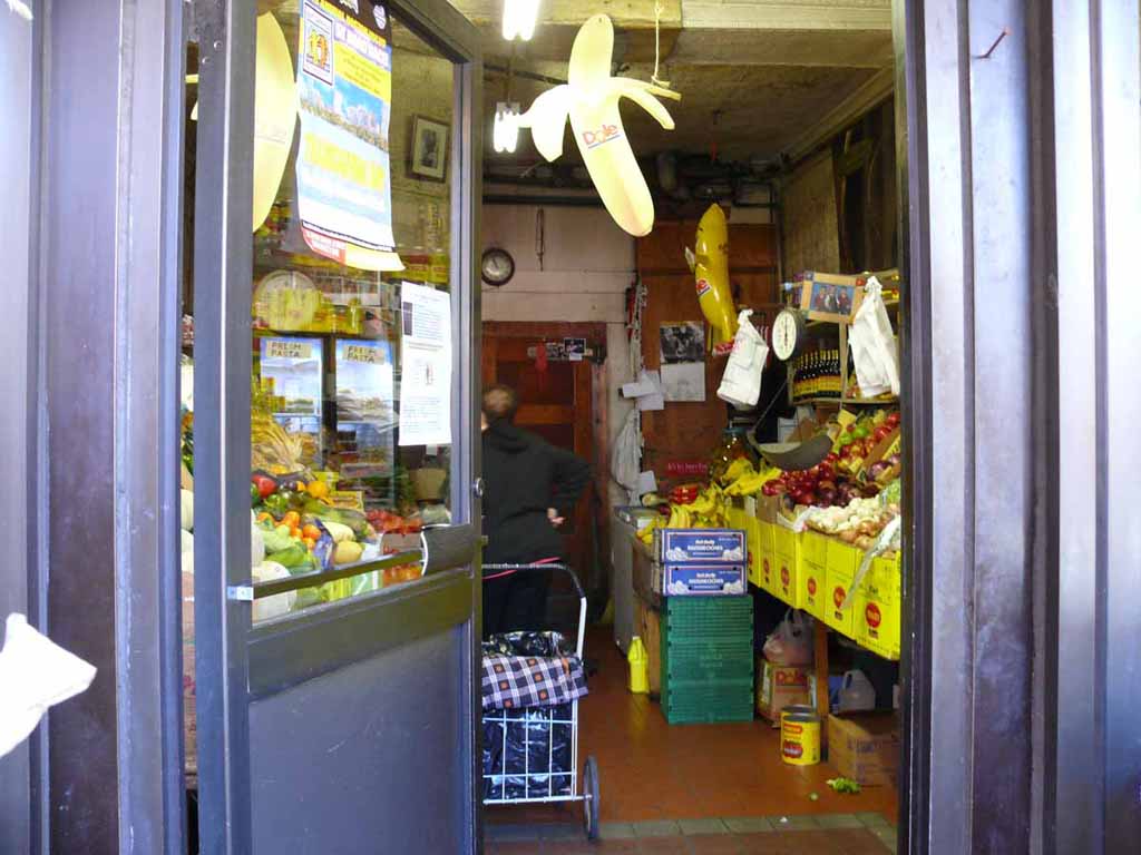
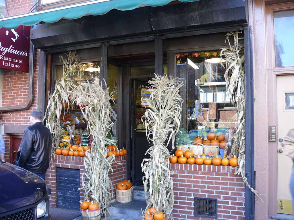
A little Fruit market |
 |
|
|
The outside of the fruit market |
 |
|
|
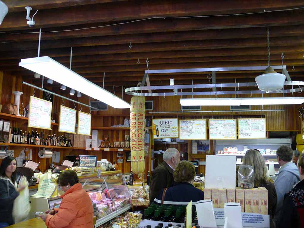
Inside Salumeria Italiana. We tasted all kinds of treats. |
 |
|
|
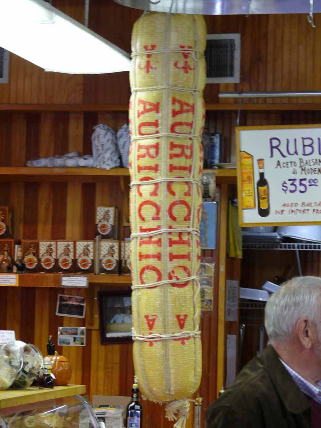
Auricchio Aged Provolone hanging up in the store. |
 |
|
|
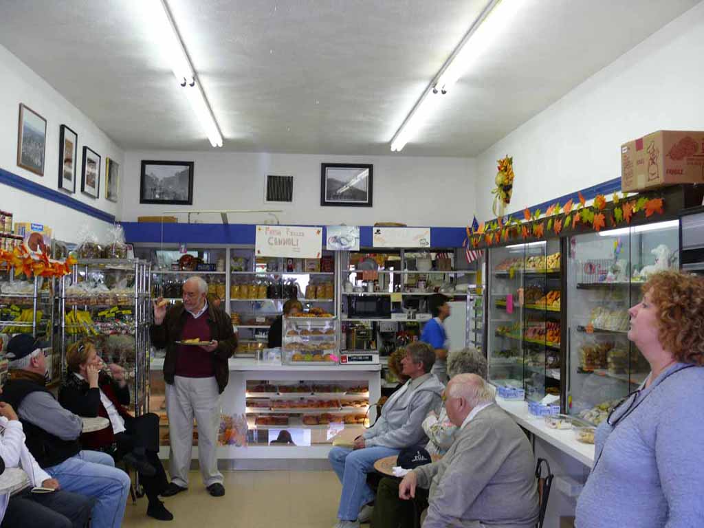
Our Tour guide Dick Mieli handing out samples at Maria's Bakery |
 |
|
|
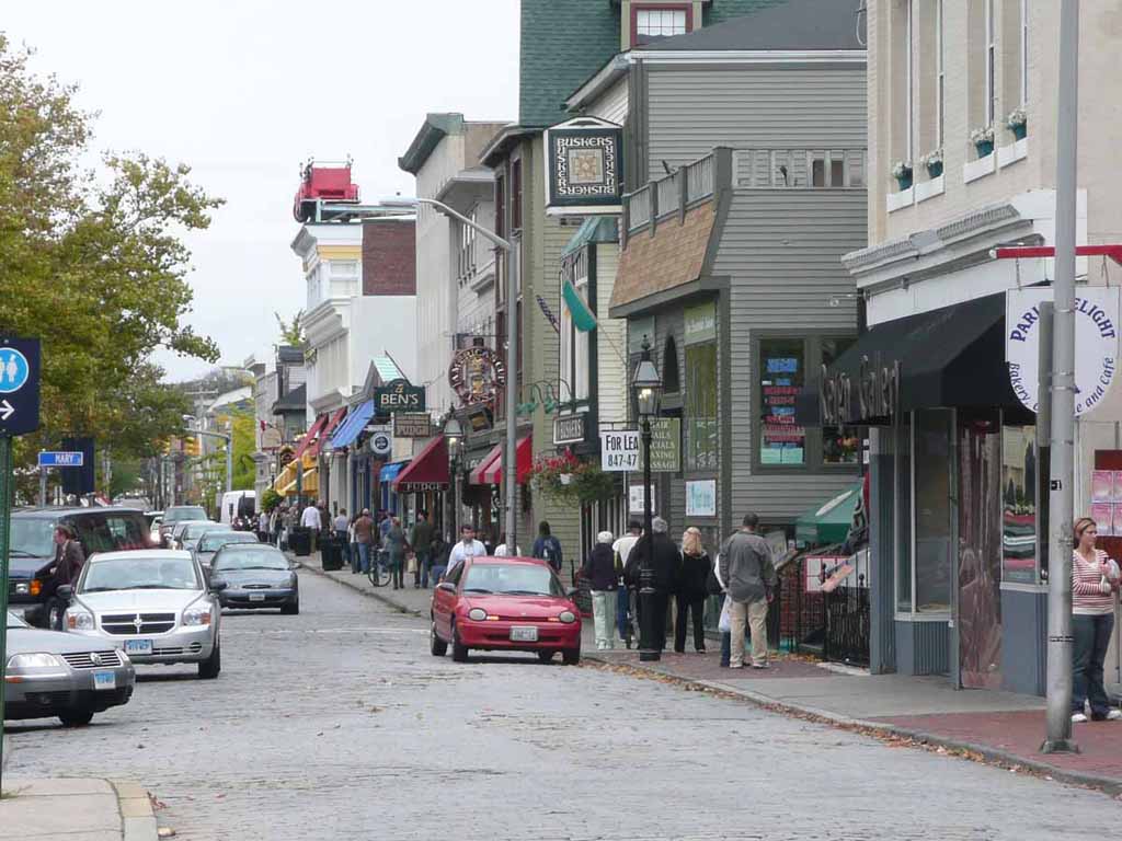
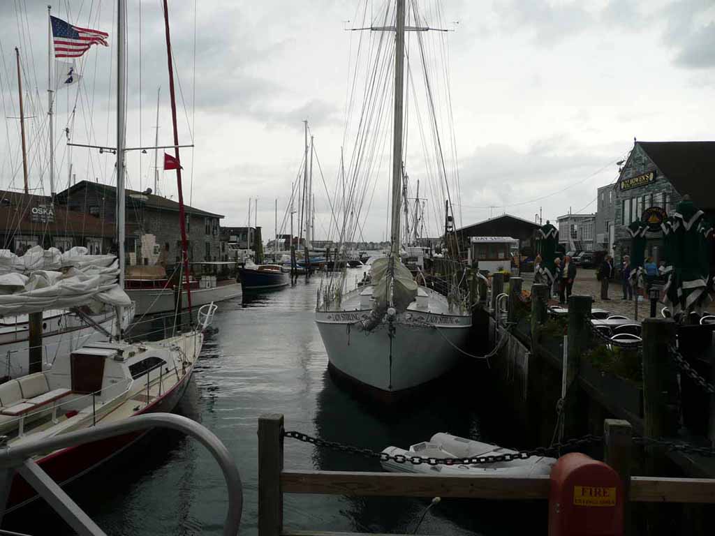
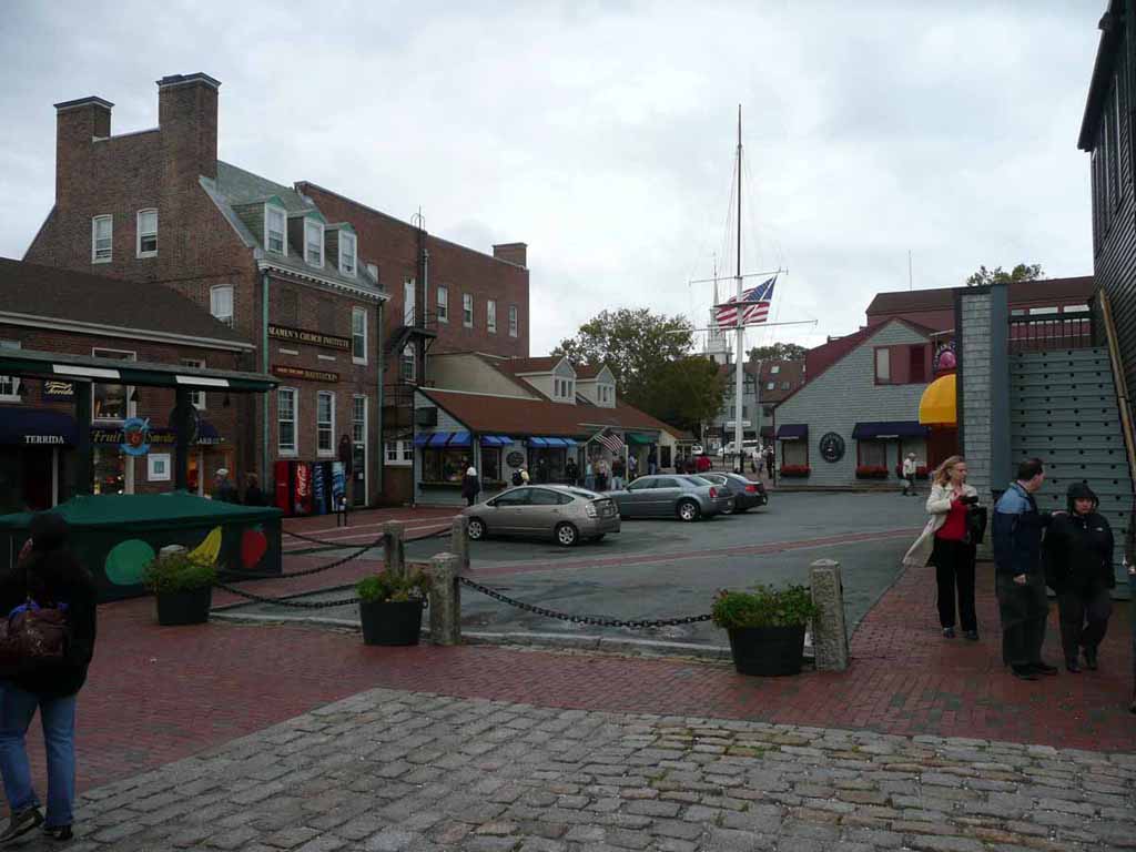
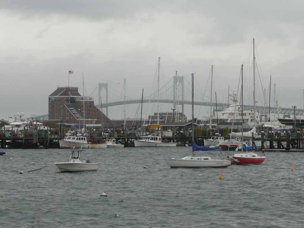
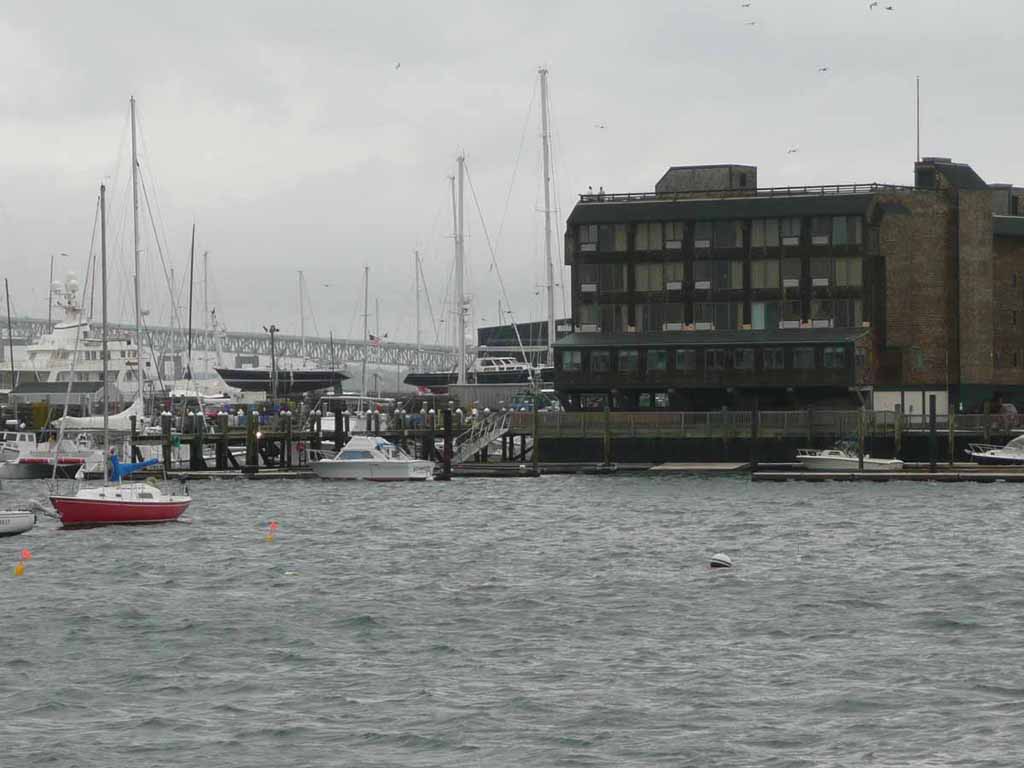
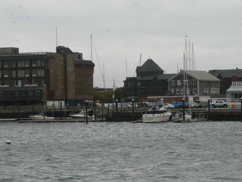
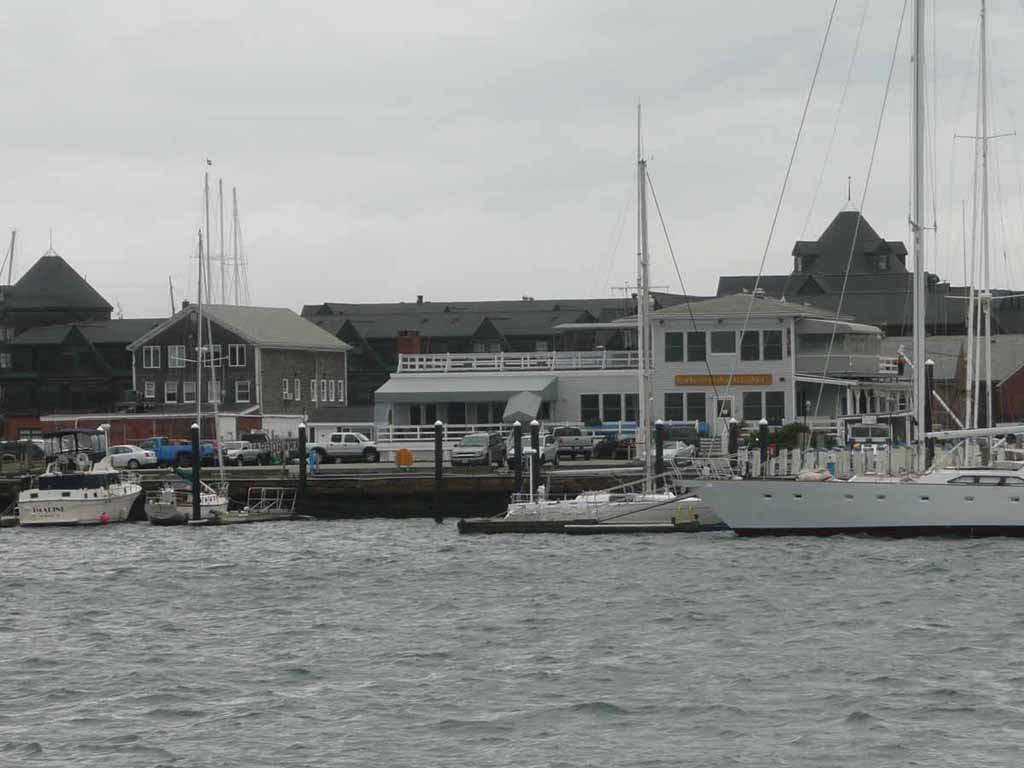
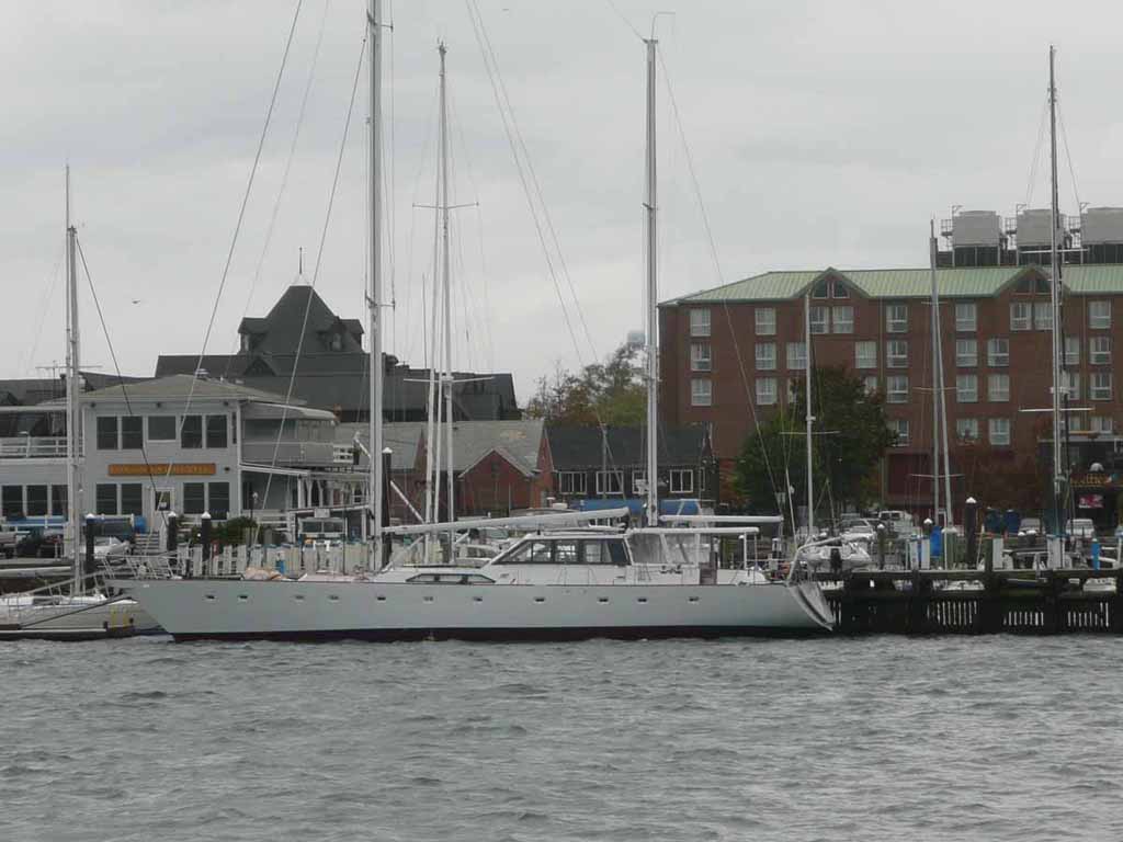
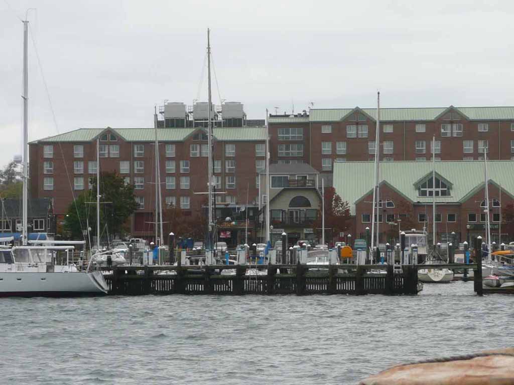
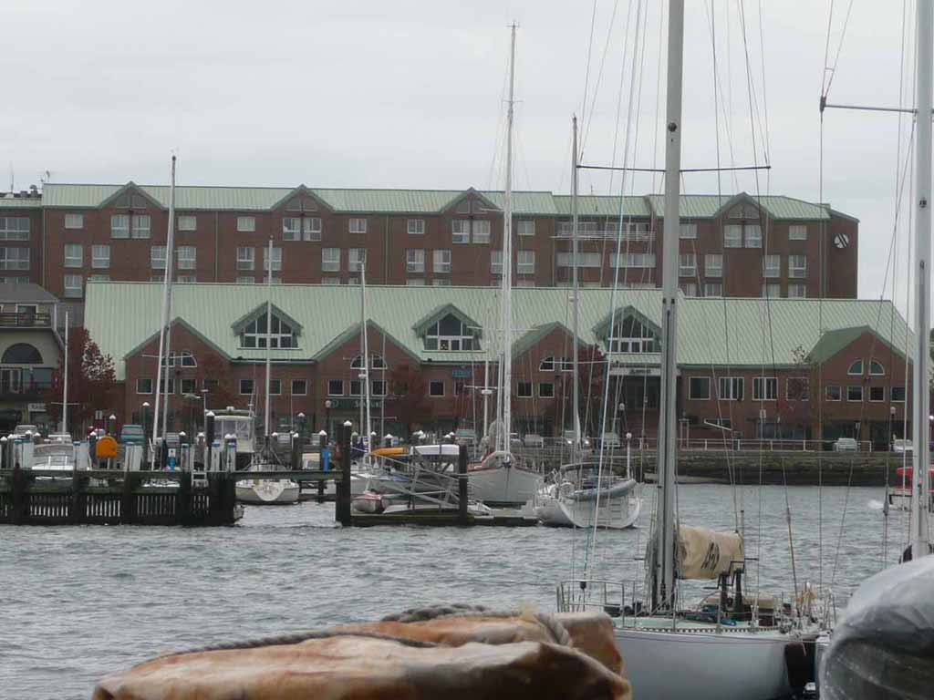
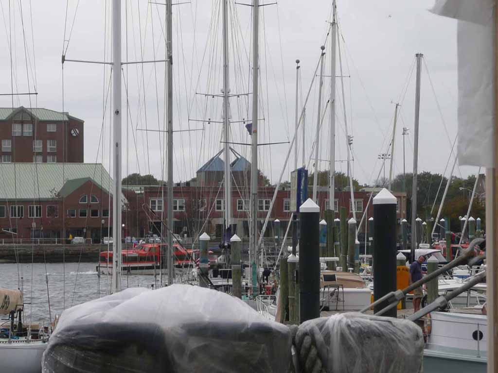
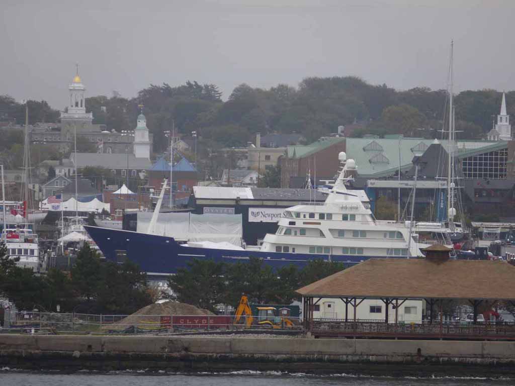
Off to Newport Rhode Island and the shops along Thames Street |
 |
|
|
Market square |
 |
|
|
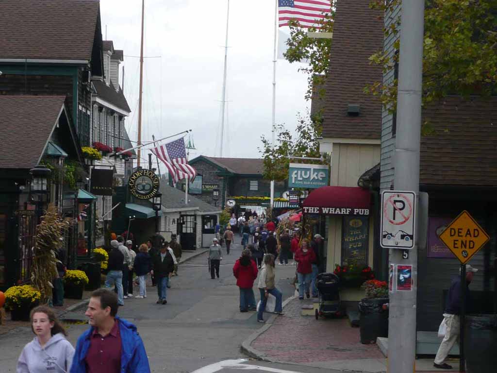
The docks at Market Square. In the green building at the right-far back of the picture was a seafood "shed" where you could buy fresh fish. When we were there, someone was buying 3- 8, yes 8 pound Lobsters. They were HUGE. And EXPENSIVE |
 |
|
|
More of Market square |
 |
|
|
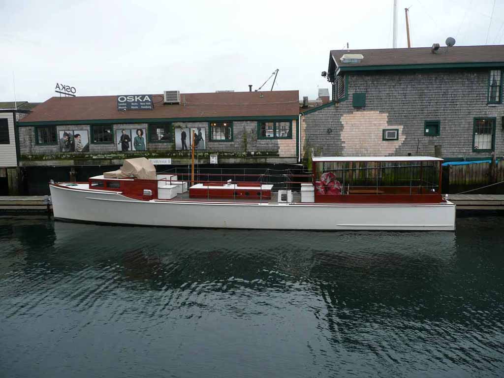
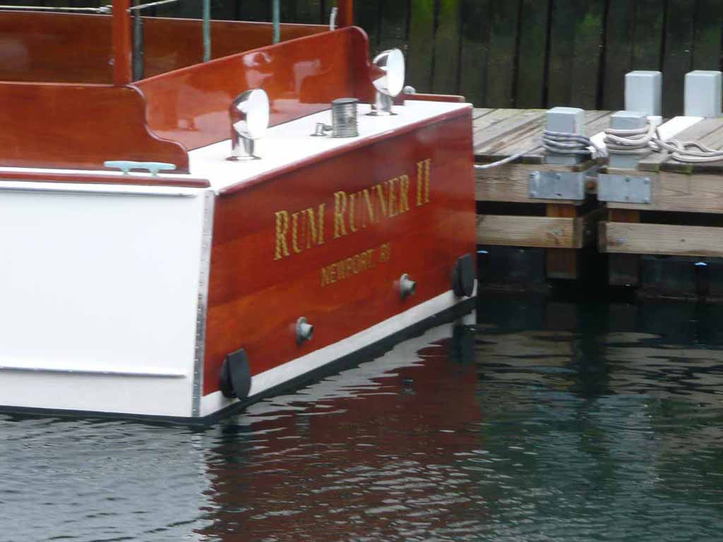
A classic old Wooden boat. The "Rum Runner II" |
 |
|
|
|
 |
|
|
Again, we were anchored and had to tender. It was what I would call Zero-Zero Fog when we arrived in the morning. |
 |
|
|
The next few shots are a series looking from left to right all the way across the harbor. |
 |
|
|
|
 |
|
|
|
 |
|
|
|
 |
|
|
|
 |
|
|
|
 |
|
|
|
 |
|
|
|
 |
|
|
|
 |
|
|
|
 |
|
|
|
 |
|
|
The Claiborne Pell Bridge |
 |
|
|
|
 |
|
|
|
 |
|
|
|
 |
|
|
|
 |
|
|
|
 |
|
|
|
 |
|
|
Our tenders taking us back and forth to the ship |
 |
|
|
|
 |
|
|
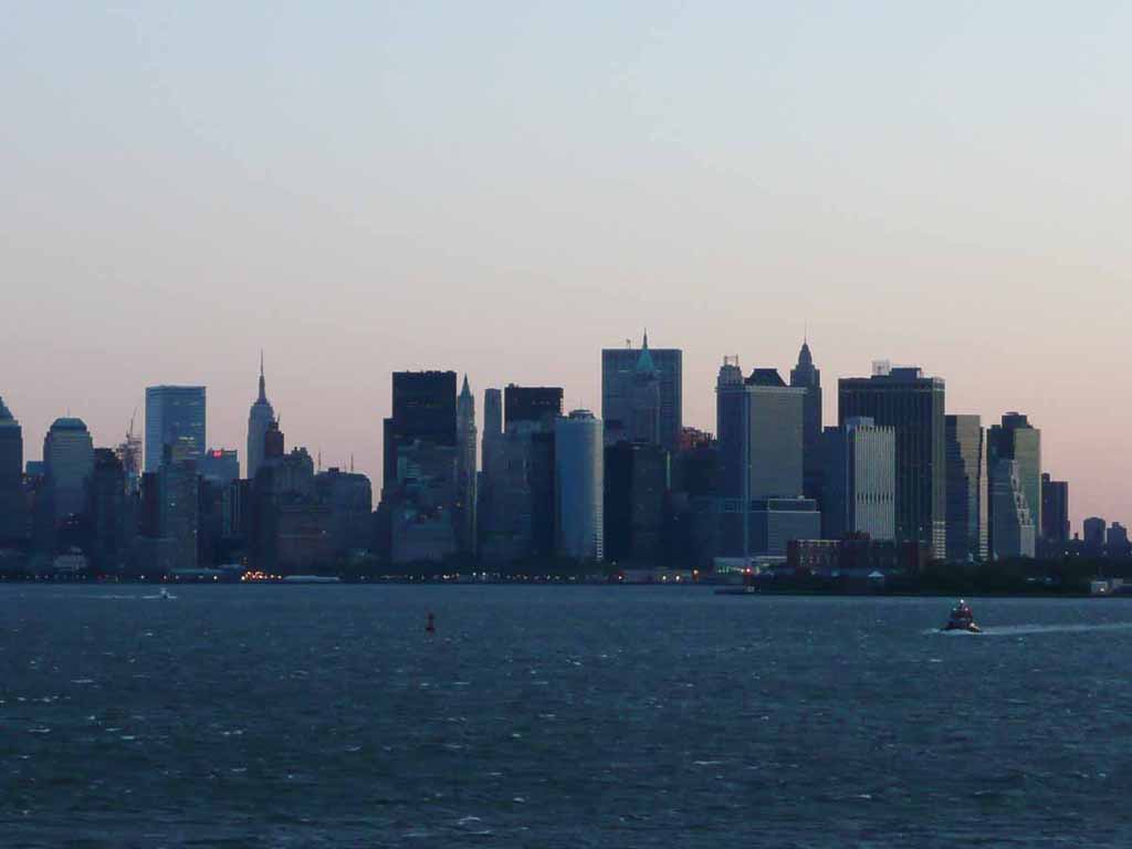
Very early in the morning, heading in to New York City |
 |
|
|
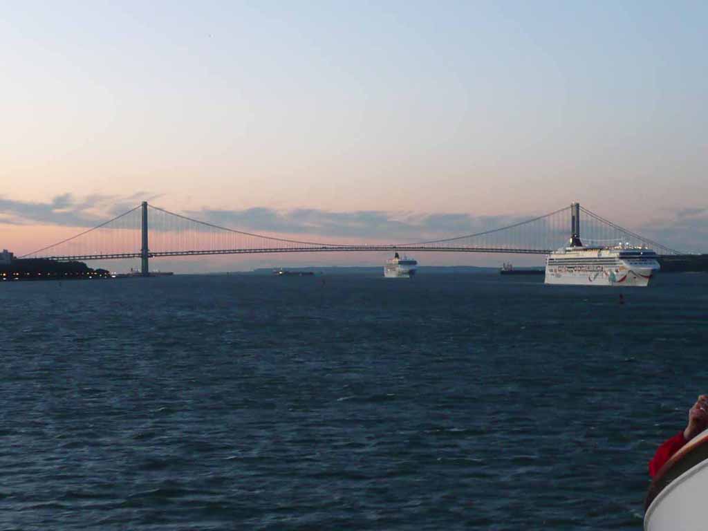
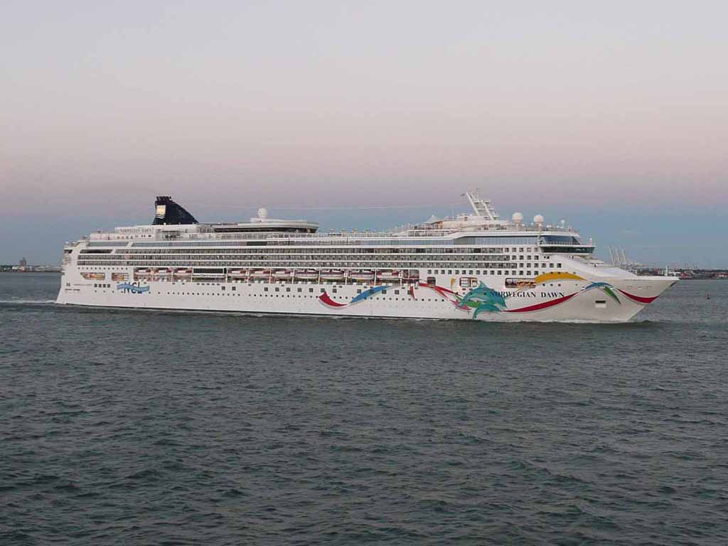
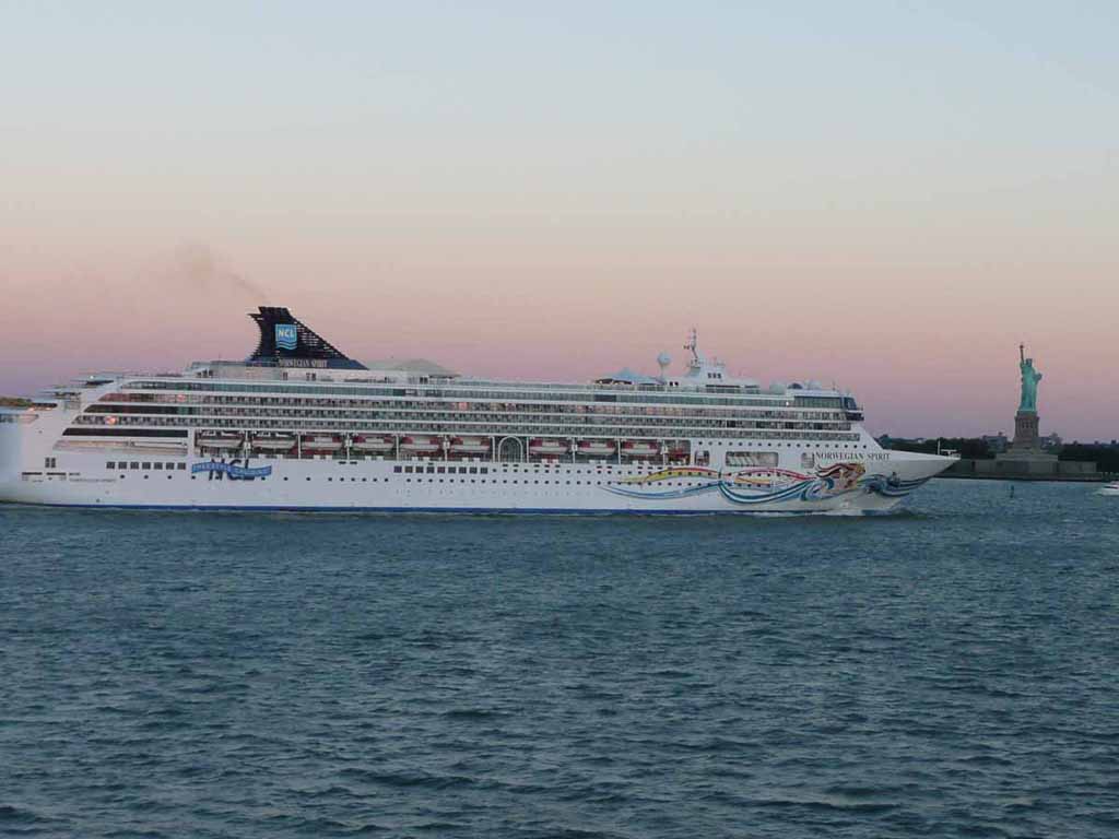
A couple of NCL ships following us in under the Verrazano Bridge |
 |
|
|
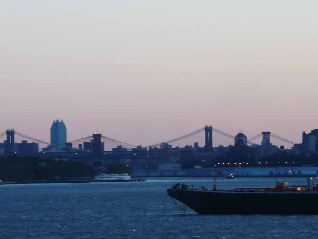
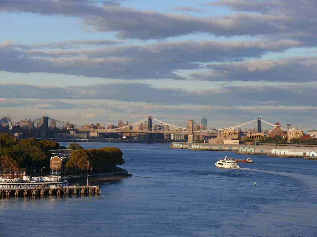
A little fuzzy shot of the Brooklyn and Manhattan Bridges |
 |
|
|
Getting lighter out |
 |
|
|
|
 |
|
|
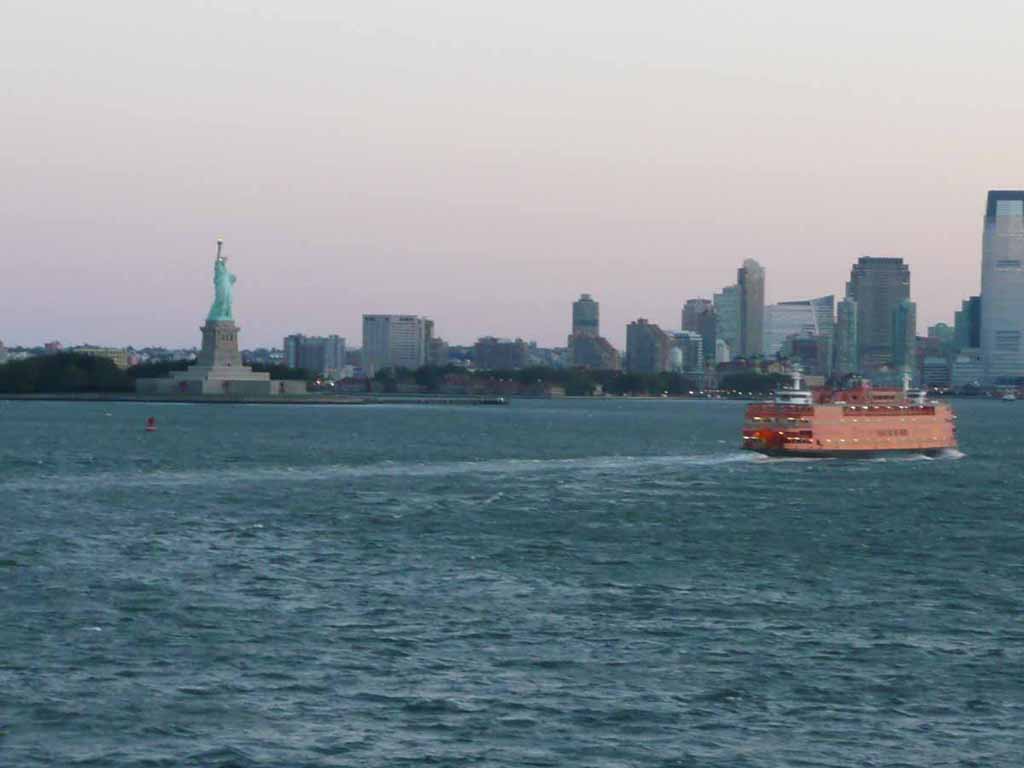
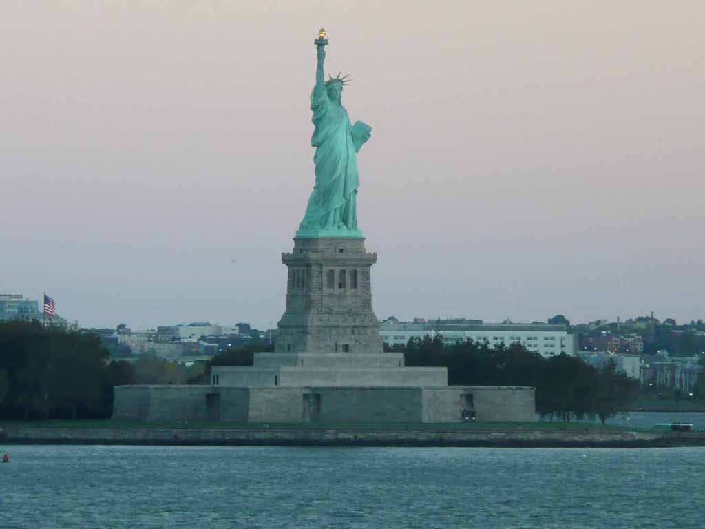
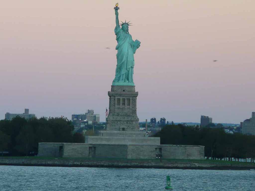
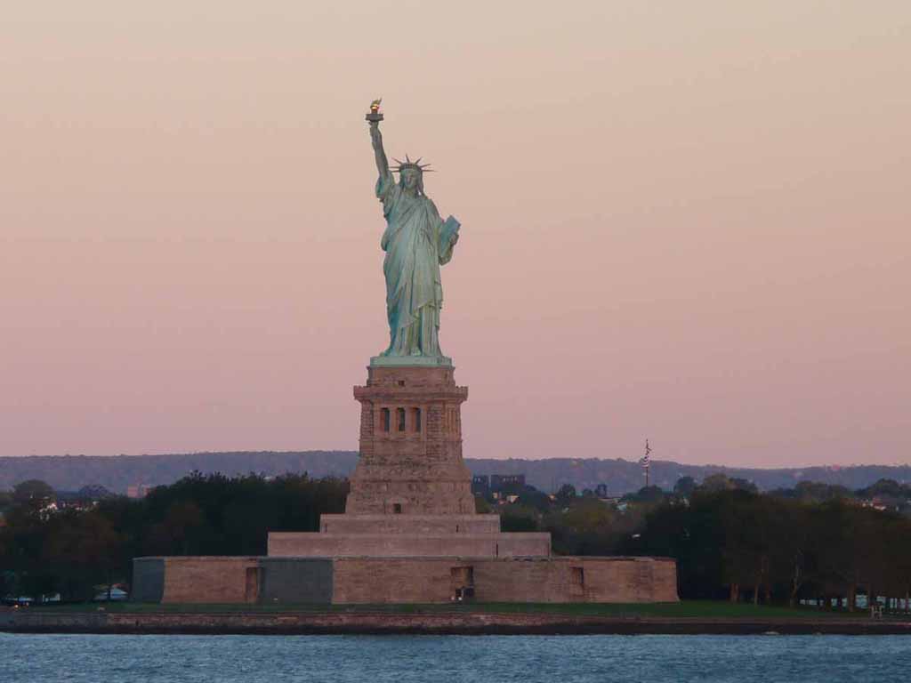
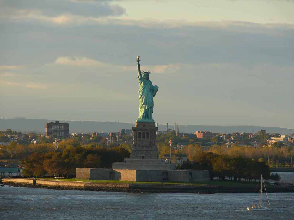
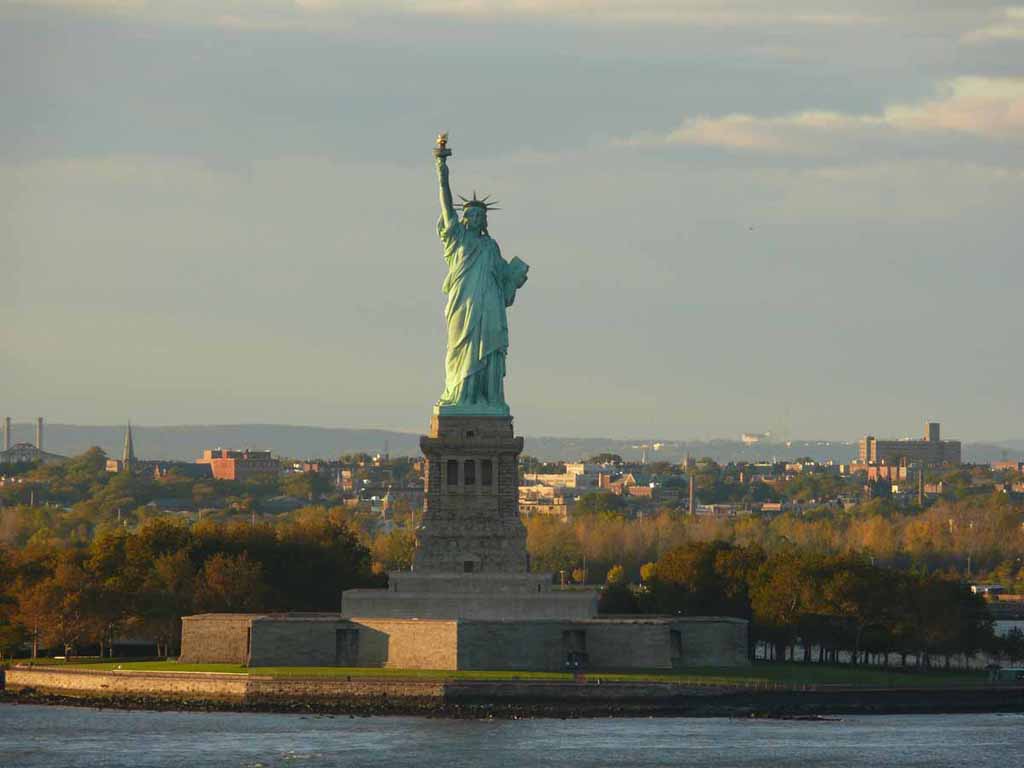
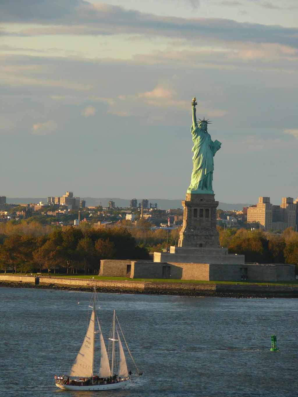
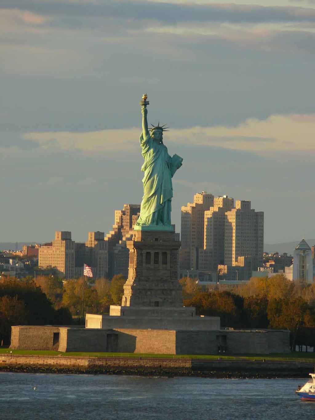
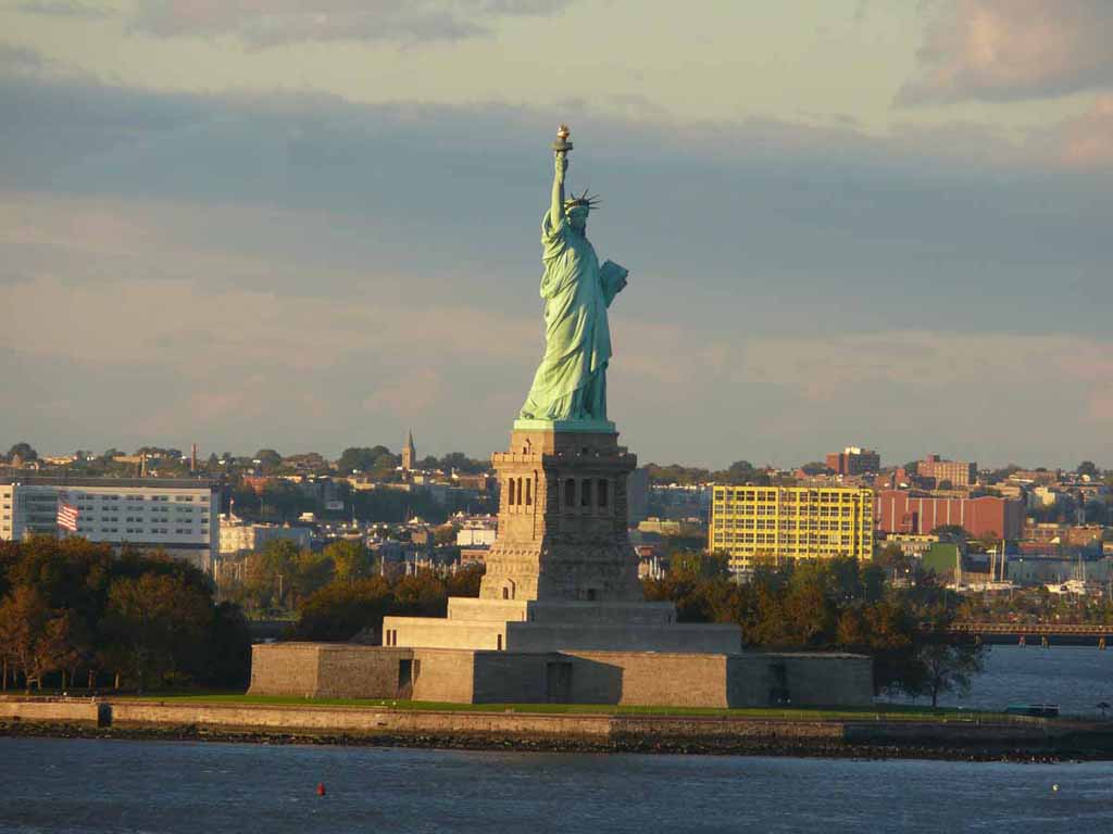
Lady Liberty saying good morning |
 |
|
|
|
 |
|
|
|
 |
|
|
|
 |
|
|
|
 |
|
|
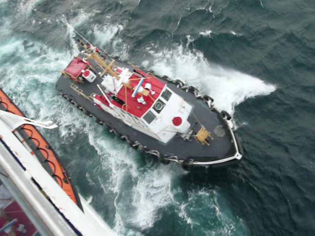
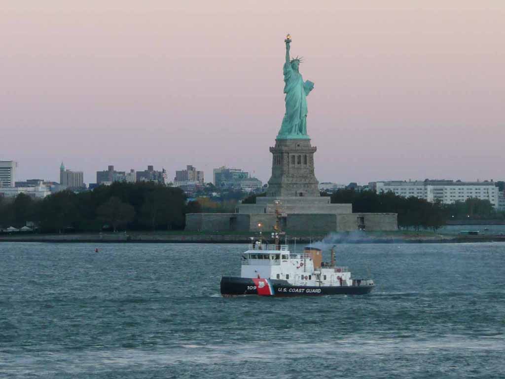
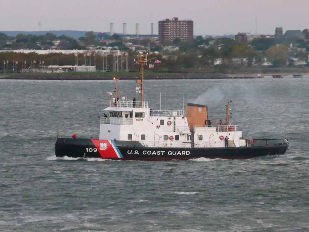
Coast Guard Icebreaking Tug Sturgeon Bay. WTGB 109 |
 |
|
|
|
 |
|
|
|
 |
|
|
|
 |
|
|
|
 |
|
|
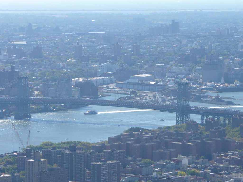
The Manhattan bridge |
 |
|
|
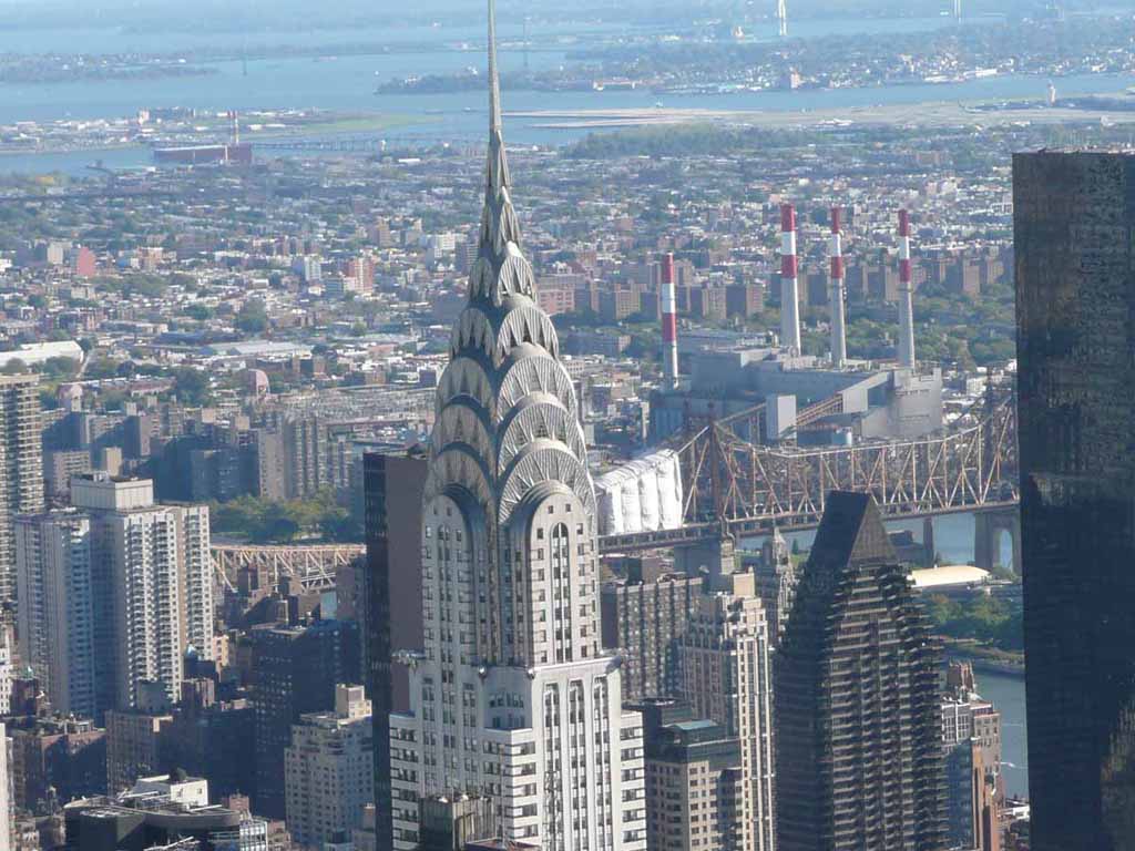
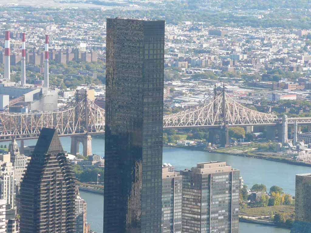
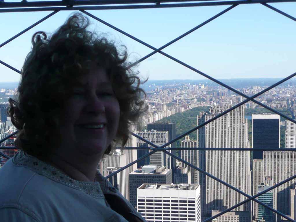
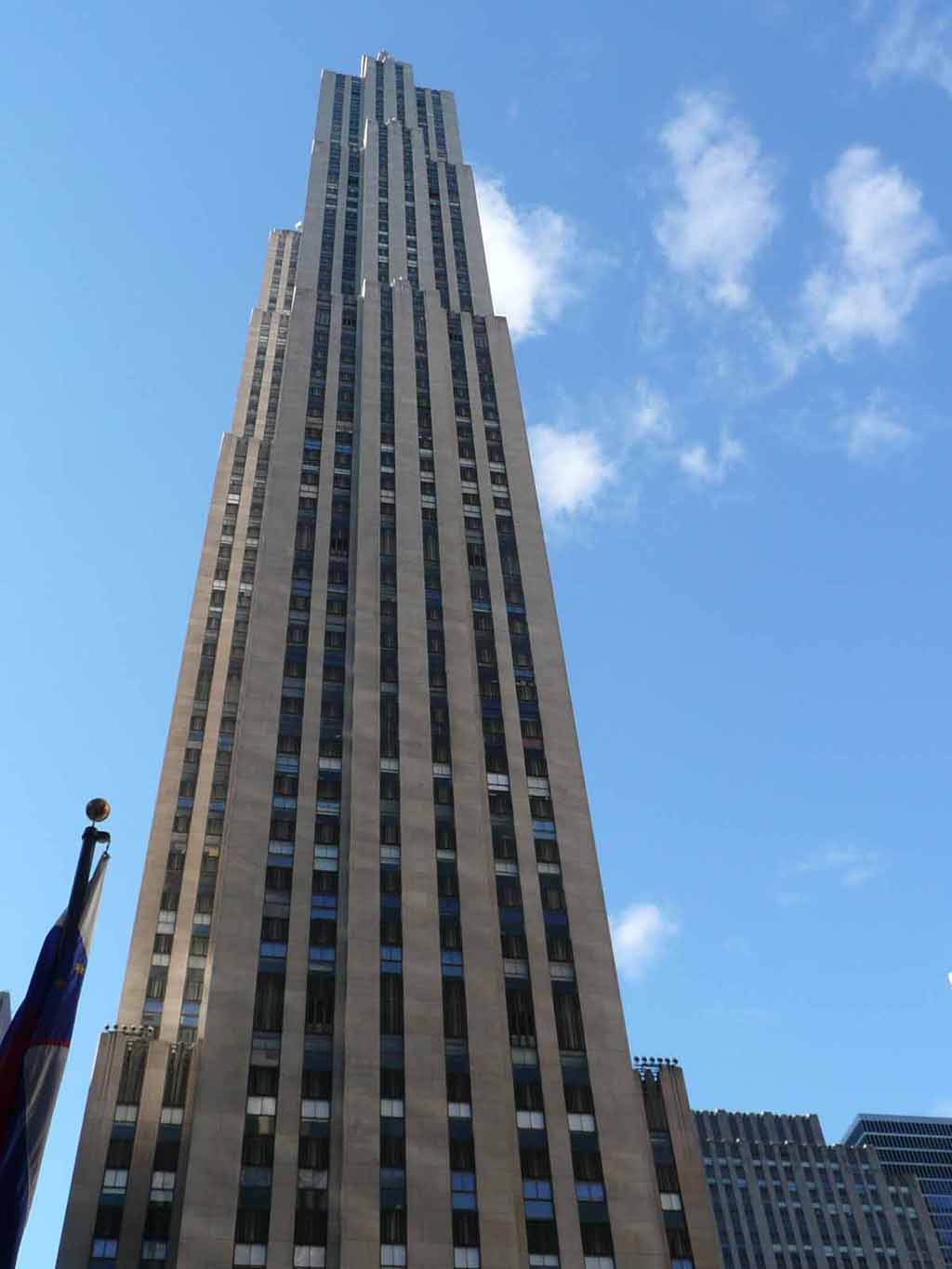
The Chrysler building as seen from on top of the Empire state building |
 |
|
|
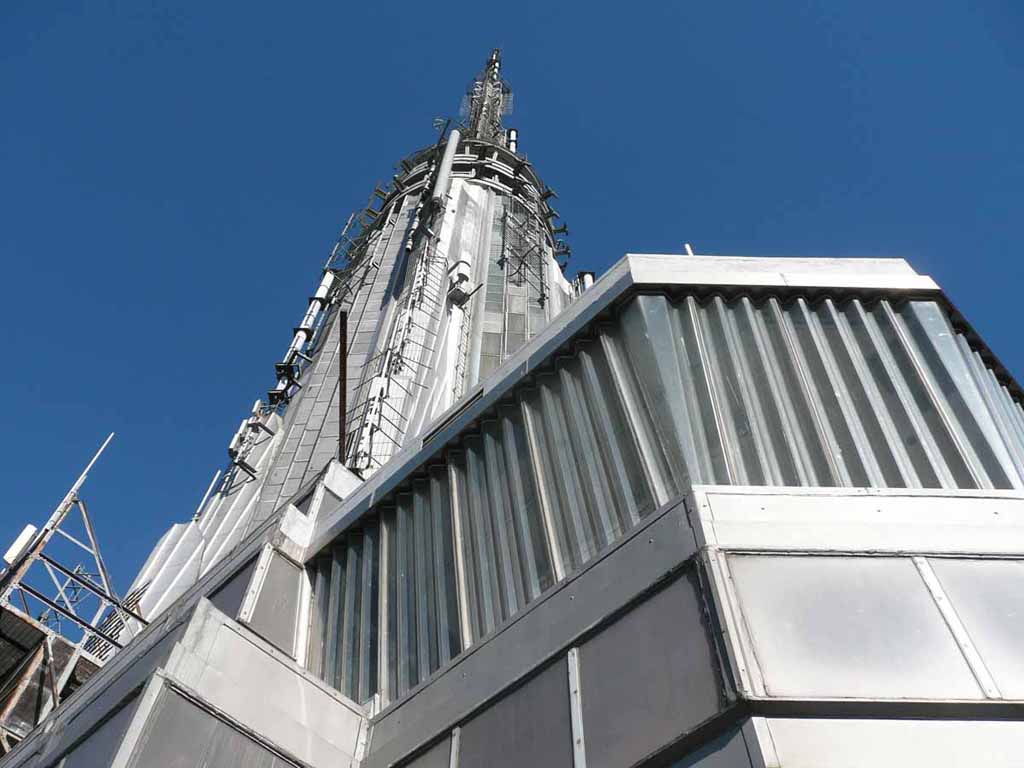
Antennas on the Empire State Building |
 |
|
|
|
 |
|
|
|
 |
|
|
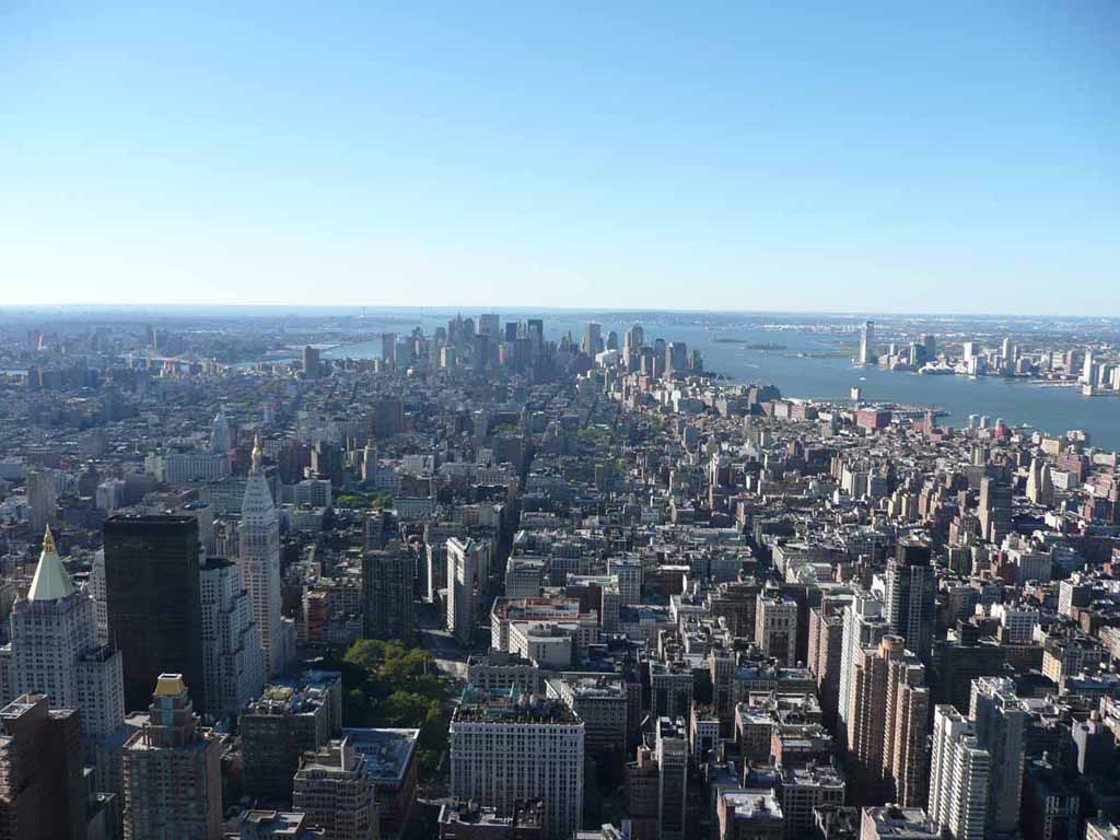
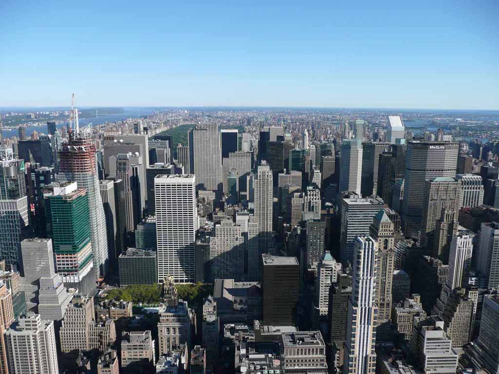
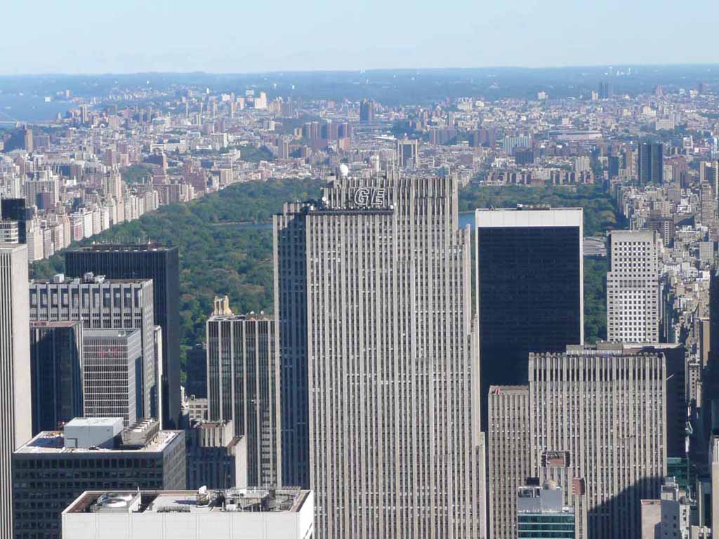
Looking toward Central Park |
 |
|
|
Central Park |
 |
|
|
|
 |
|
|
|
 |
|
|
Another view of the Manhattan Bridge |
 |
|
|
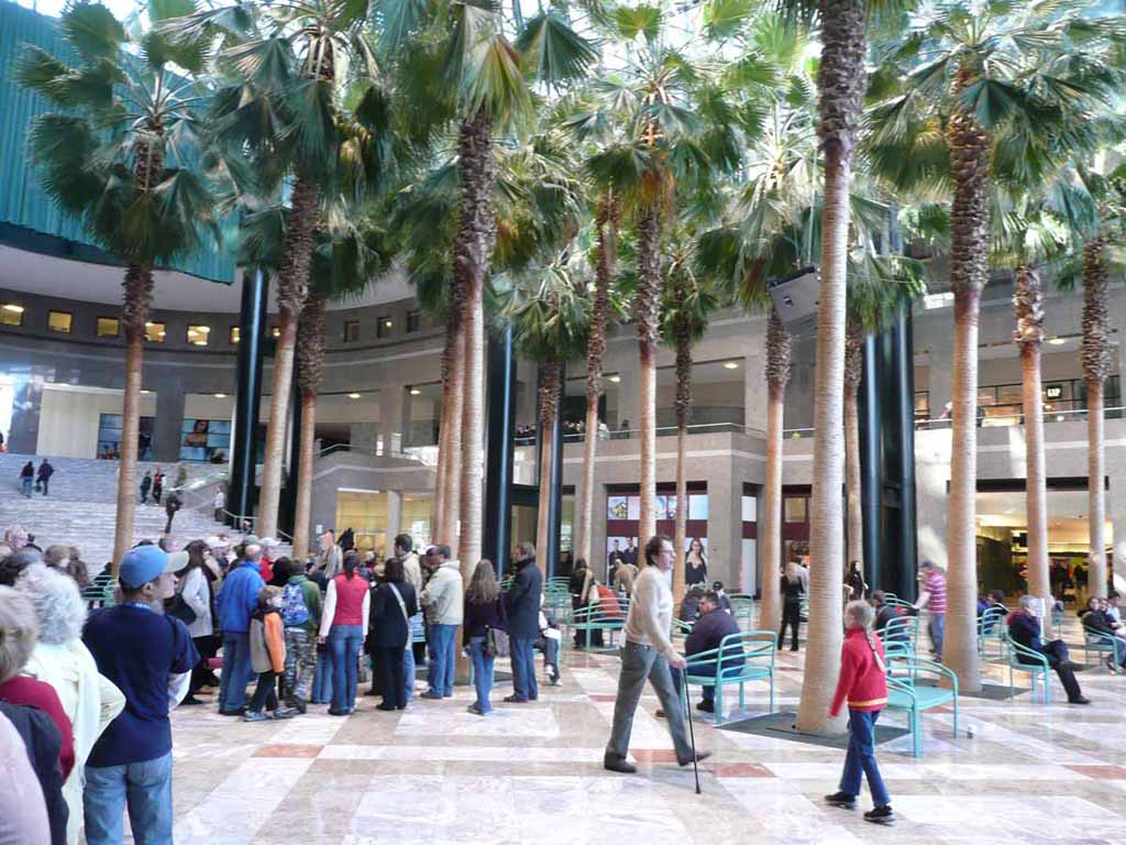
The Winter Garden across from the WTC site. |
 |
|
|
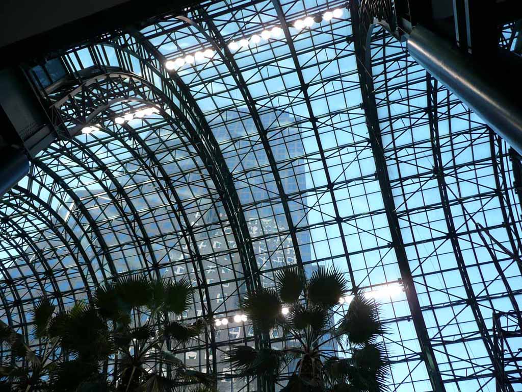
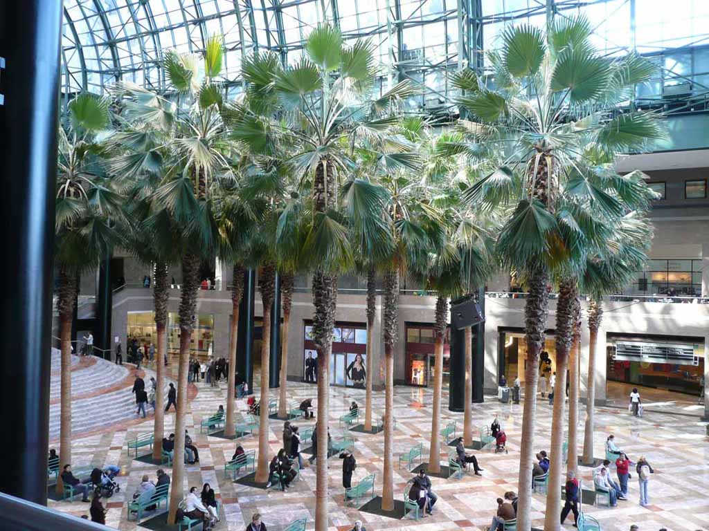
Inside the Winter Garden |
 |
|
|
|
 |
|
|
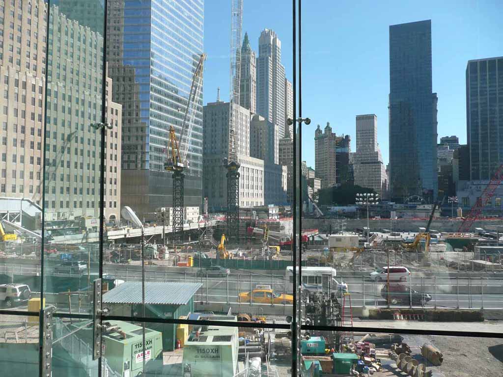
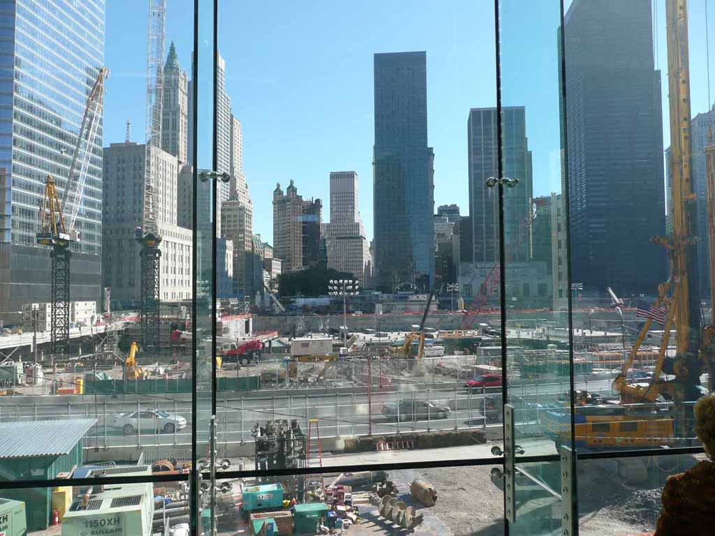
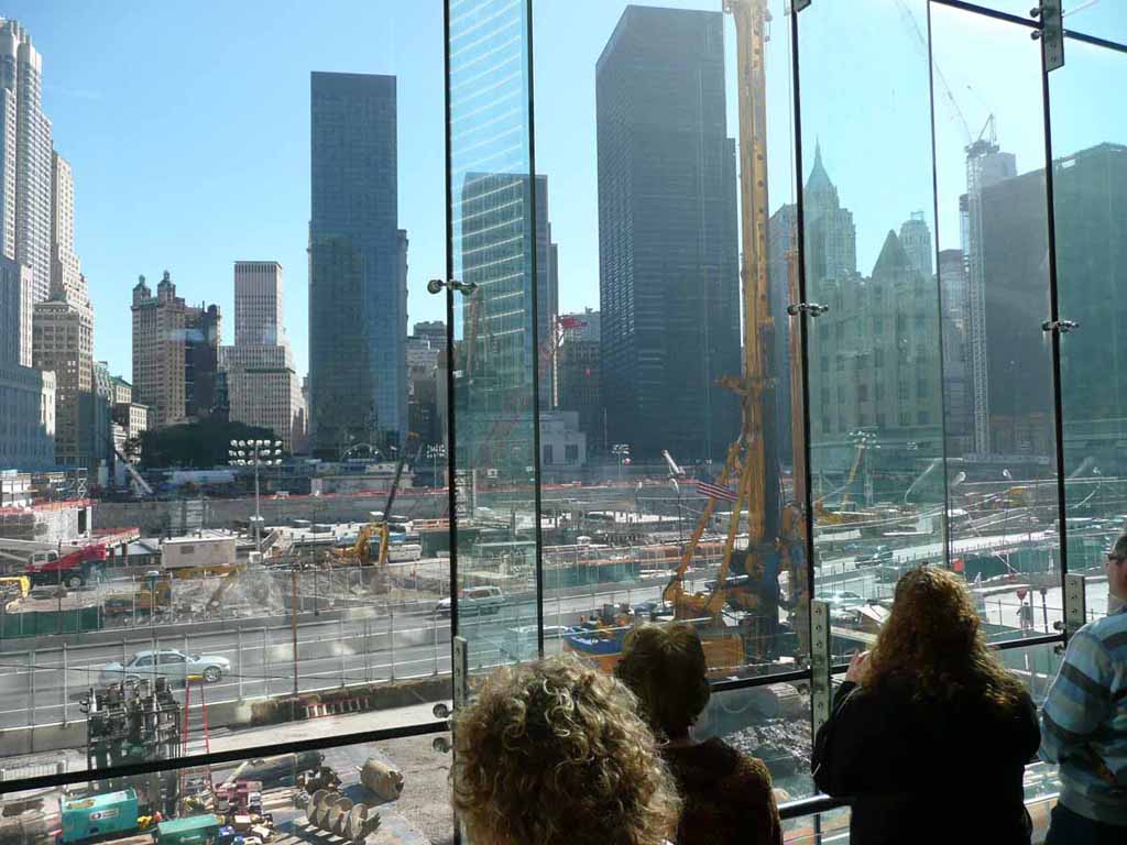
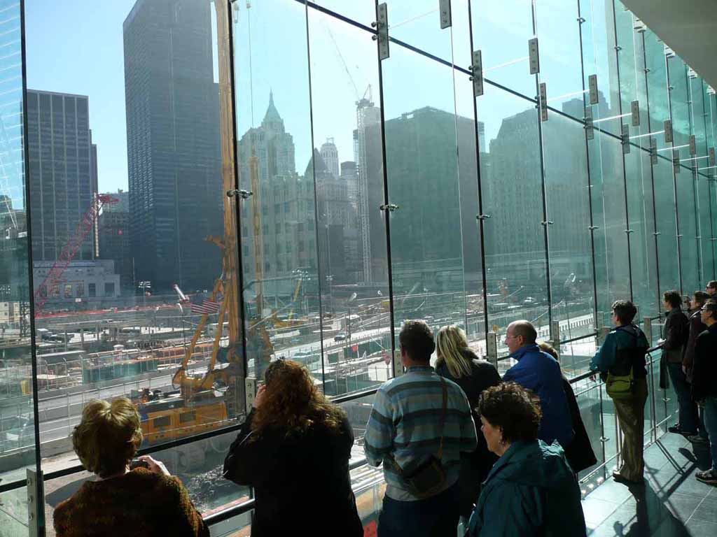
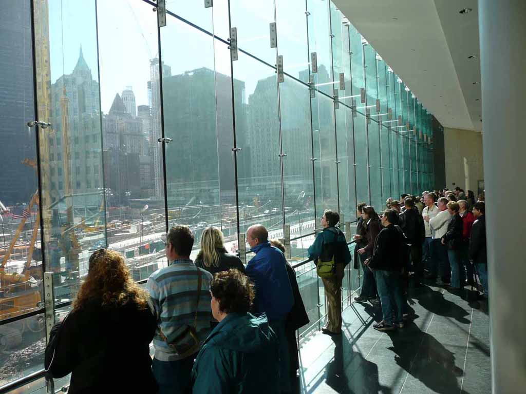
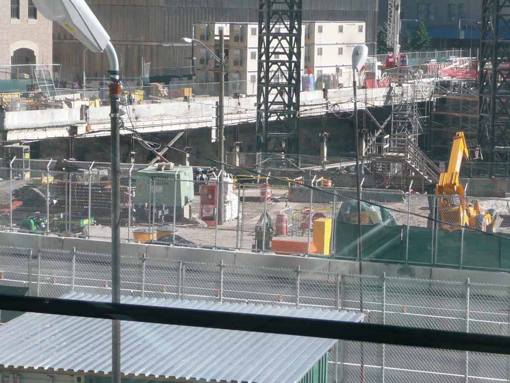
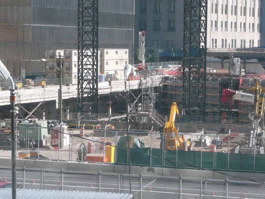
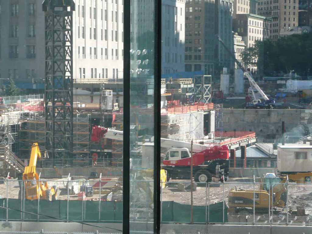
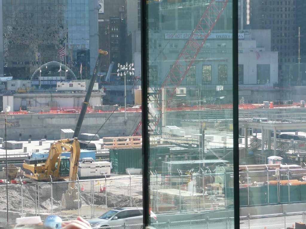
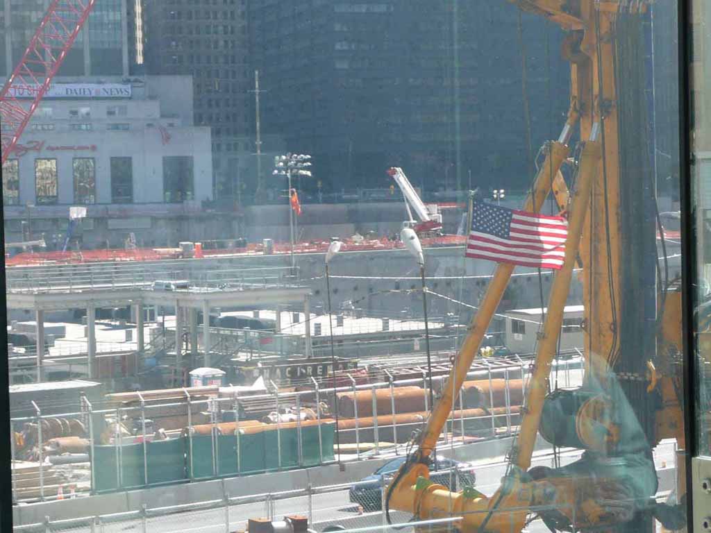
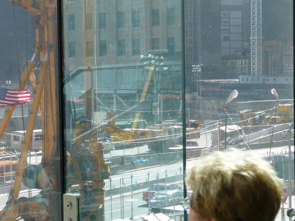
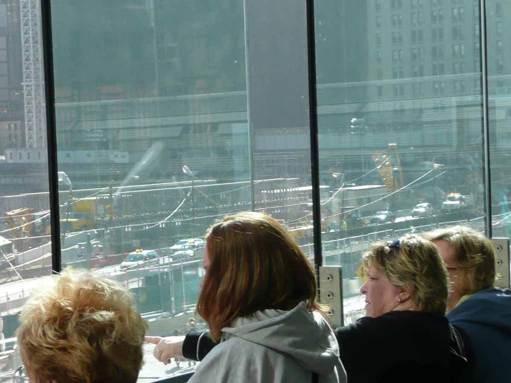
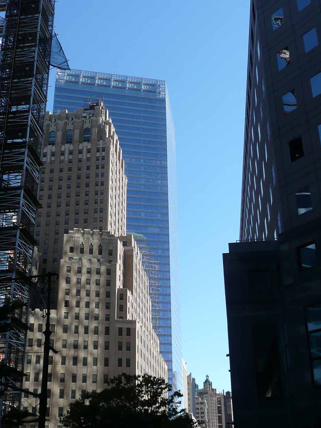
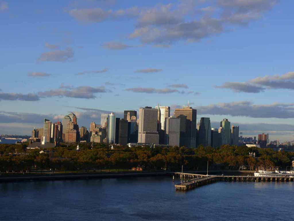
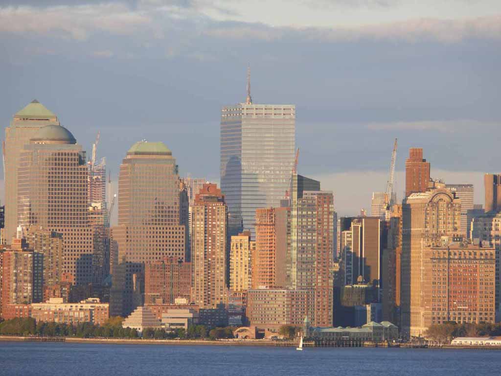
Here's the World Trade Center site as of November 2007 |
 |
|
|
|
 |
|
|
|
 |
|
|
|
 |
|
|
|
 |
|
|
|
 |
|
|
|
 |
|
|
|
 |
|
|
|
 |
|
|
|
 |
|
|
|
 |
|
|
|
 |
|
|
|
 |
|
|
|
 |
|
|
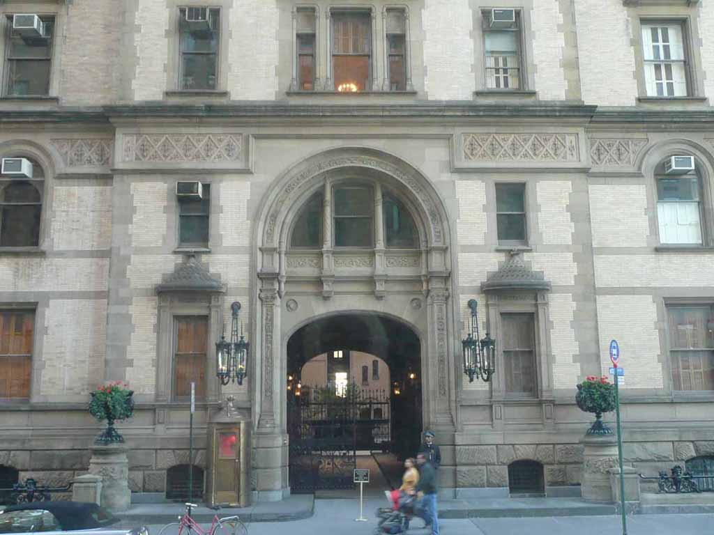
The Dakota entrance where John Lennon was shot. |
 |
|
|
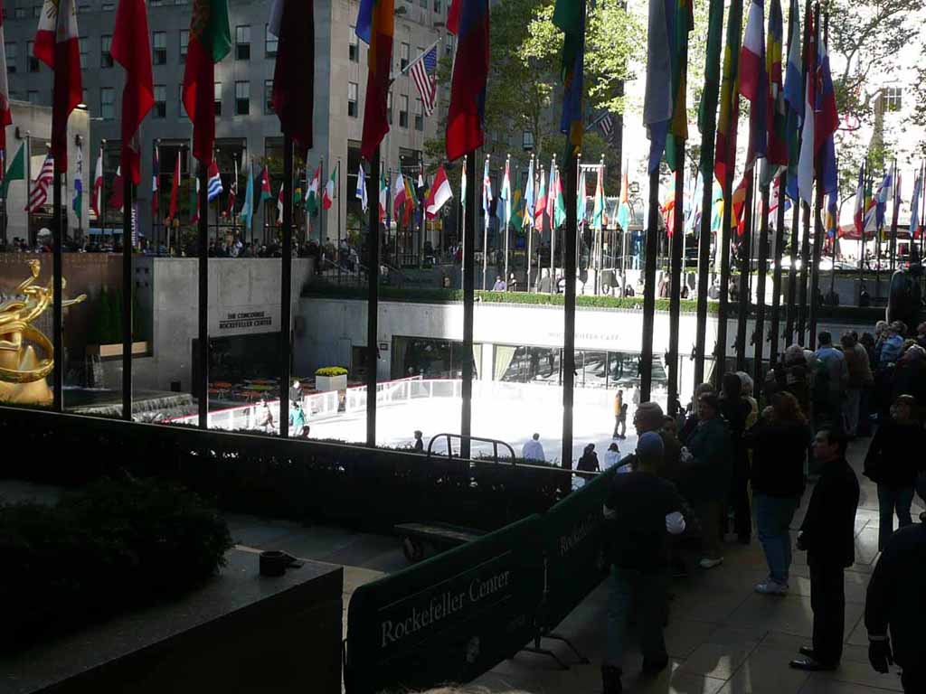
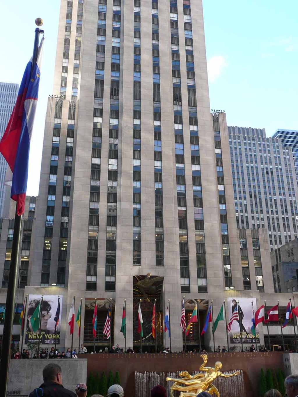
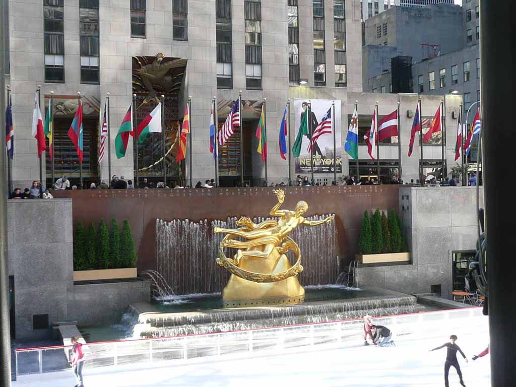
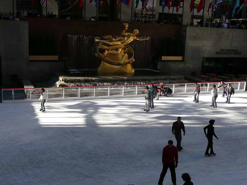
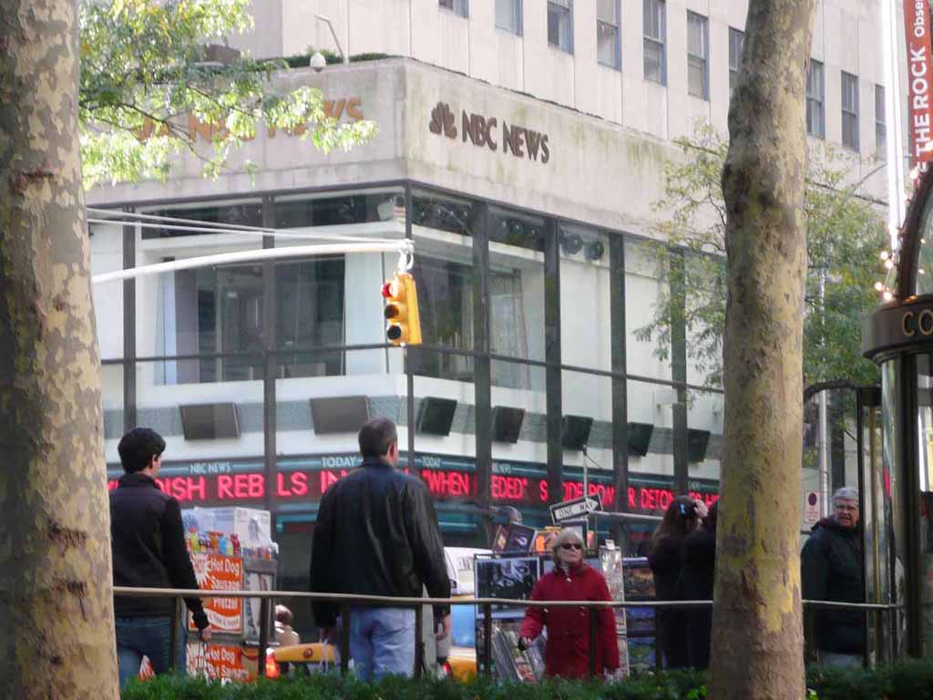
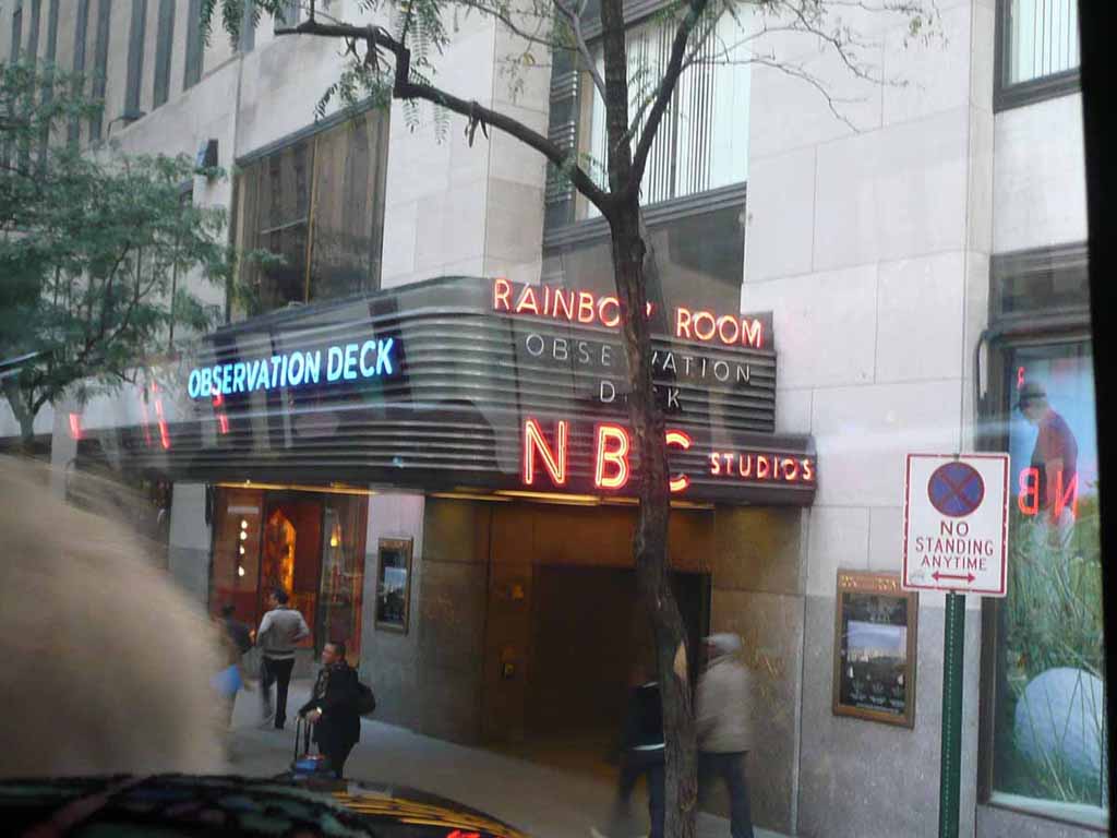
Rockefeller Center Ice rink |
 |
|
|
|
 |
|
|
|
 |
|
|
|
 |
|
|
|
 |
|
|
|
 |
|
|
|
 |
|
|
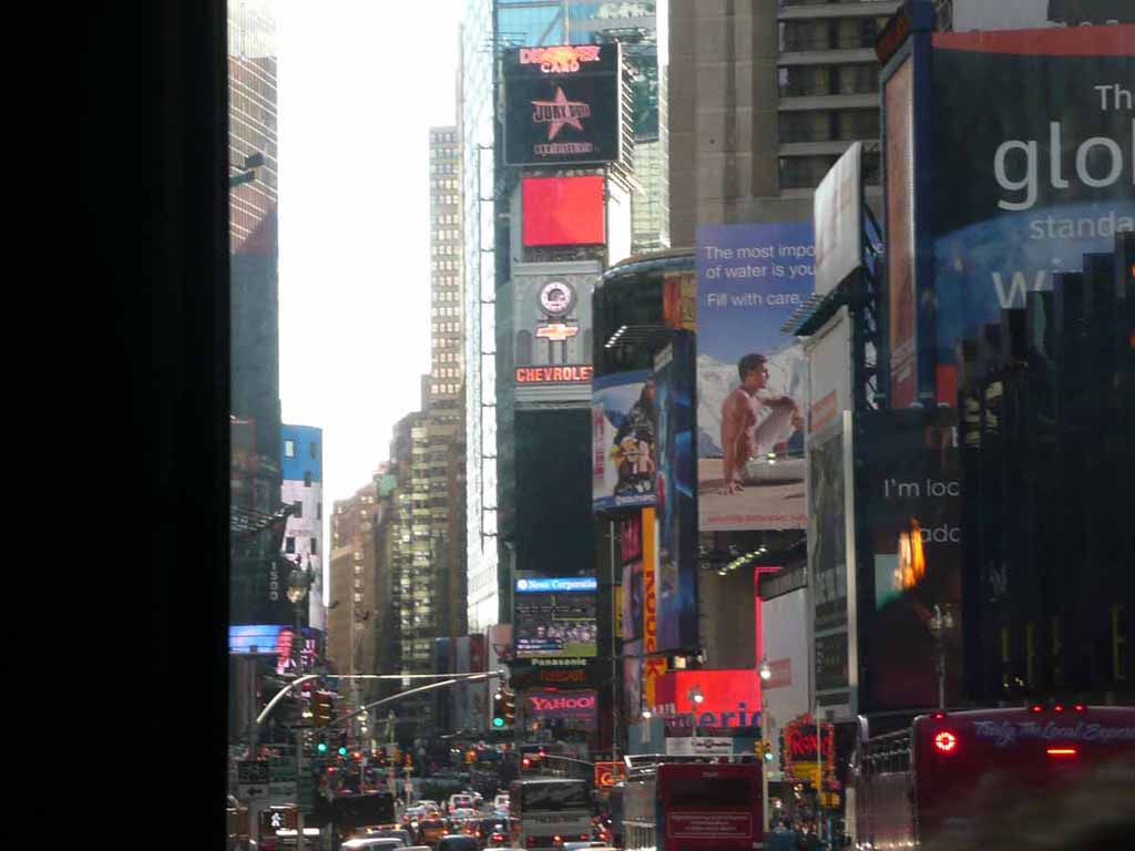
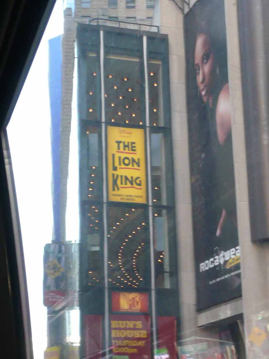
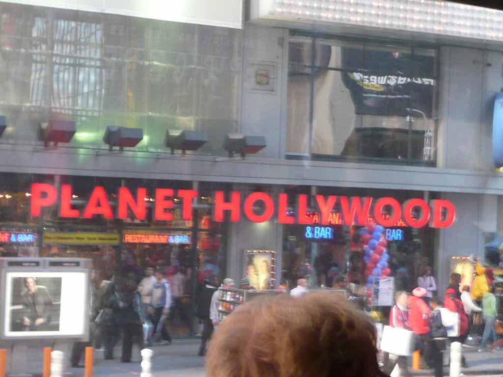
Times Square |
 |
|
|
|
 |
|
|
|
 |
|
|
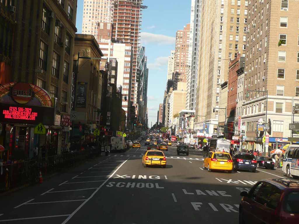
Looking up 8th Ave.. |
 |
|
|
Evening light over New York as we depart our Brooklyn cruise terminal |
 |
|
|
One last look at the Manhattan and Brooklyn bridges |
 |
|
|
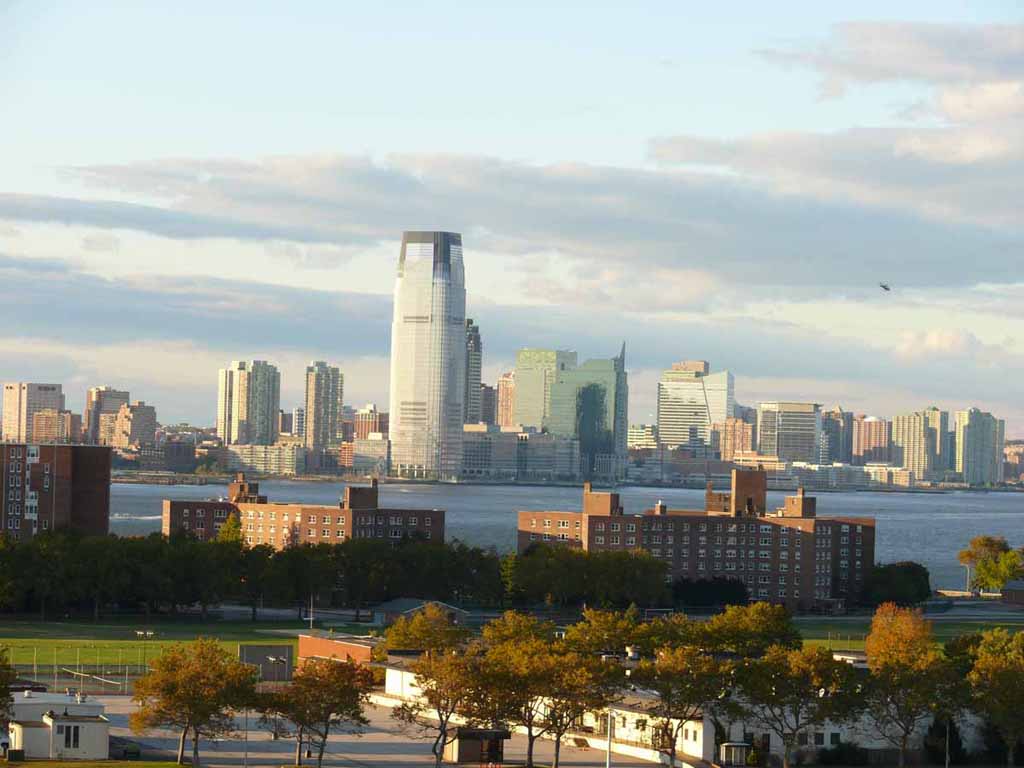
Jersey view |
 |
|
|
|
 |
|
|
|
 |
|
|
|
 |
|
|
|
 |
|
|
|
 |
|
|
|
 |
|
|
|
 |
|
|
|
 |
|
|
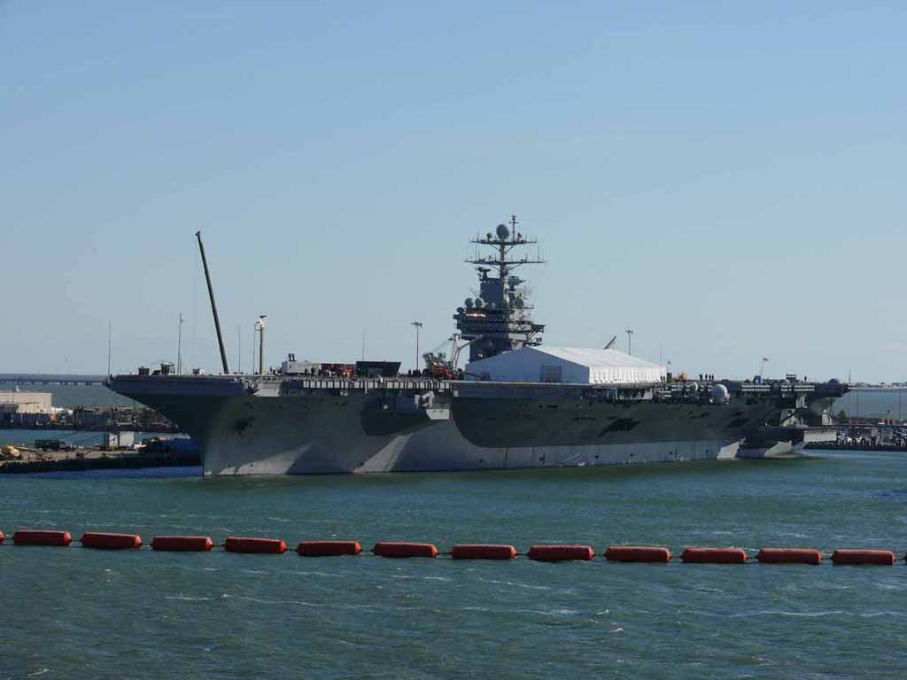
Welcome to Norfolk. This is CVN 75, the Harry S. Truman |
 |
|
|
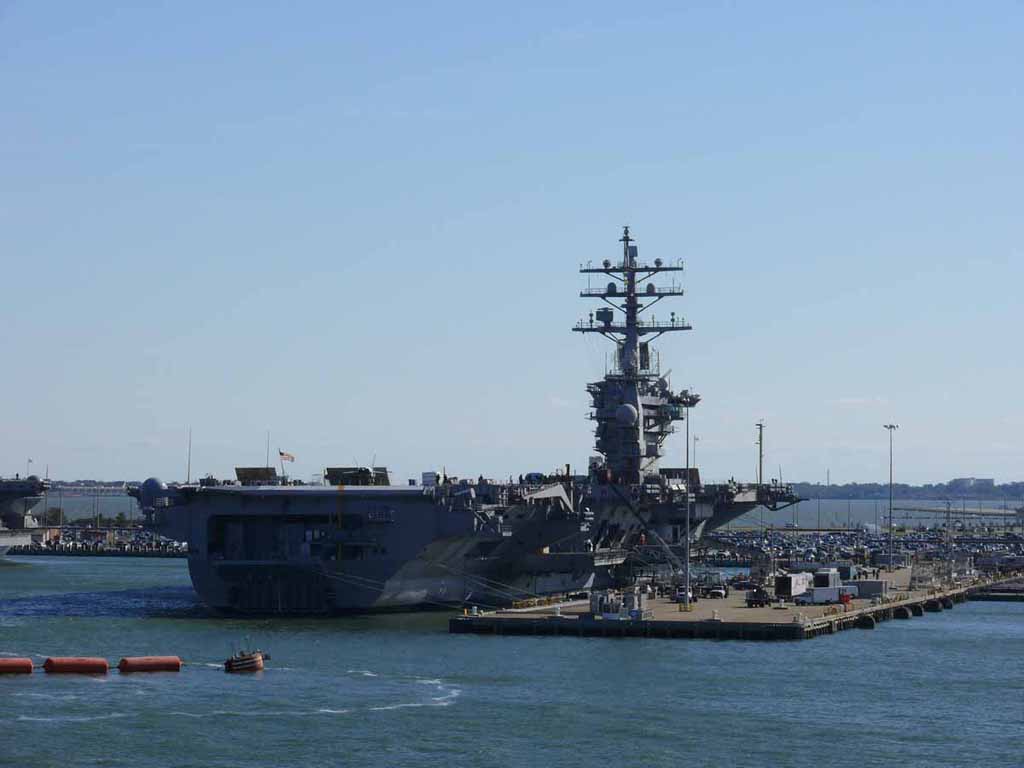
USS Dwight D. Eisenhower (CVN-69) |
 |
|
|
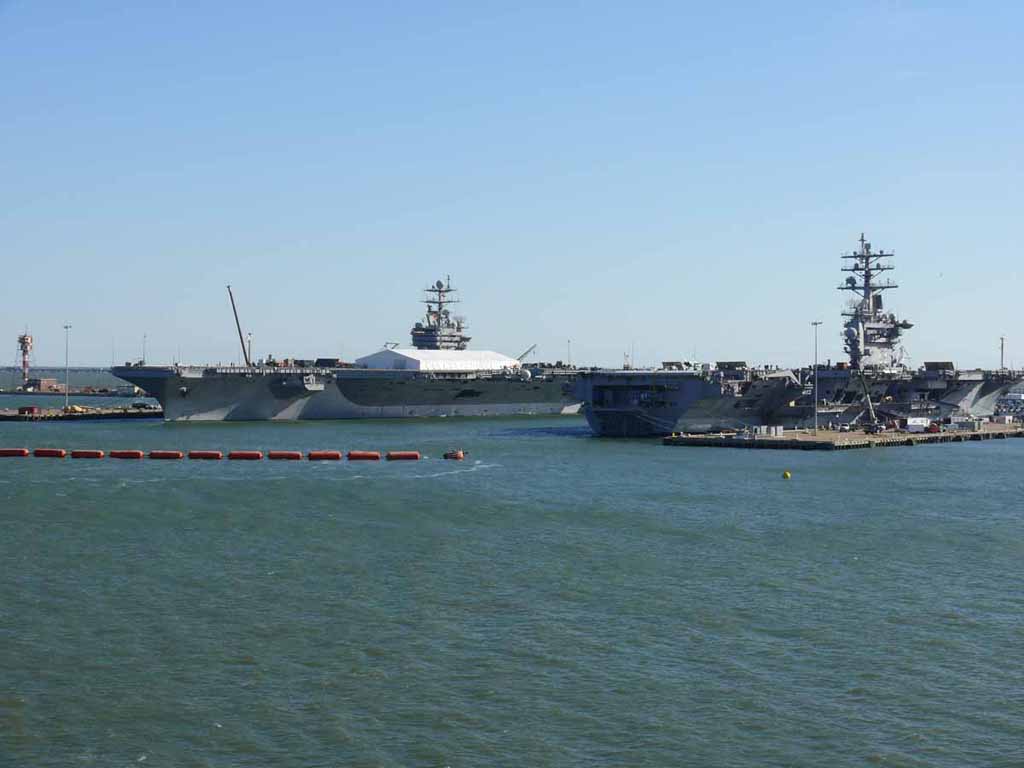
Truman and Eisenhower together |
 |
|
|
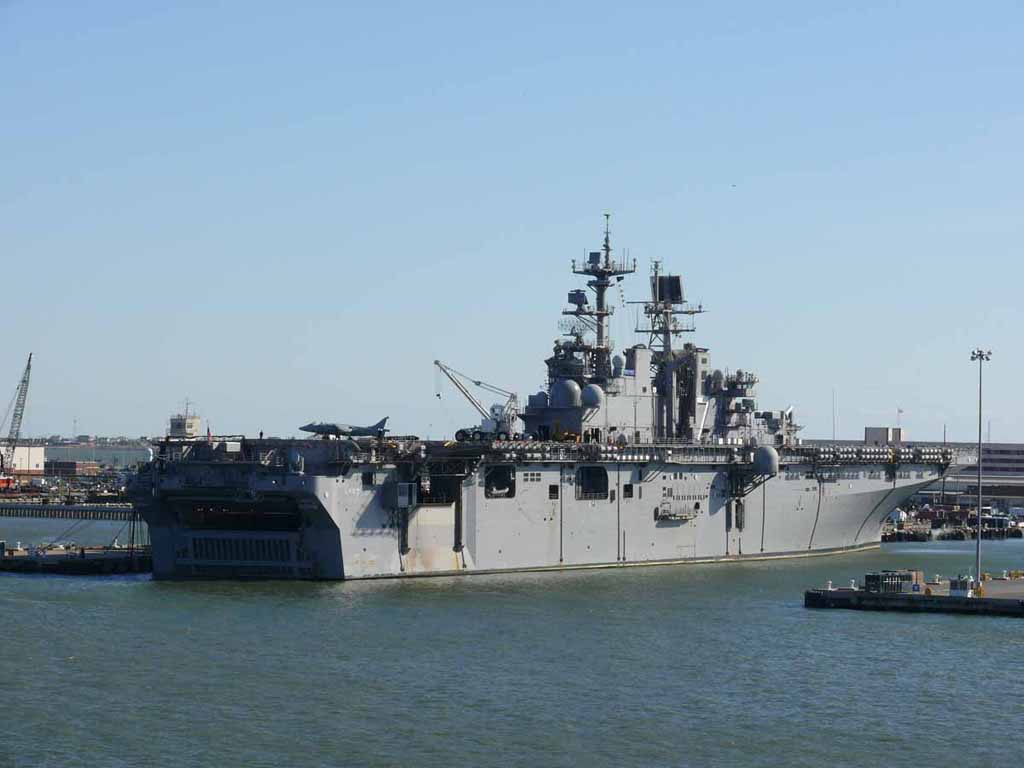
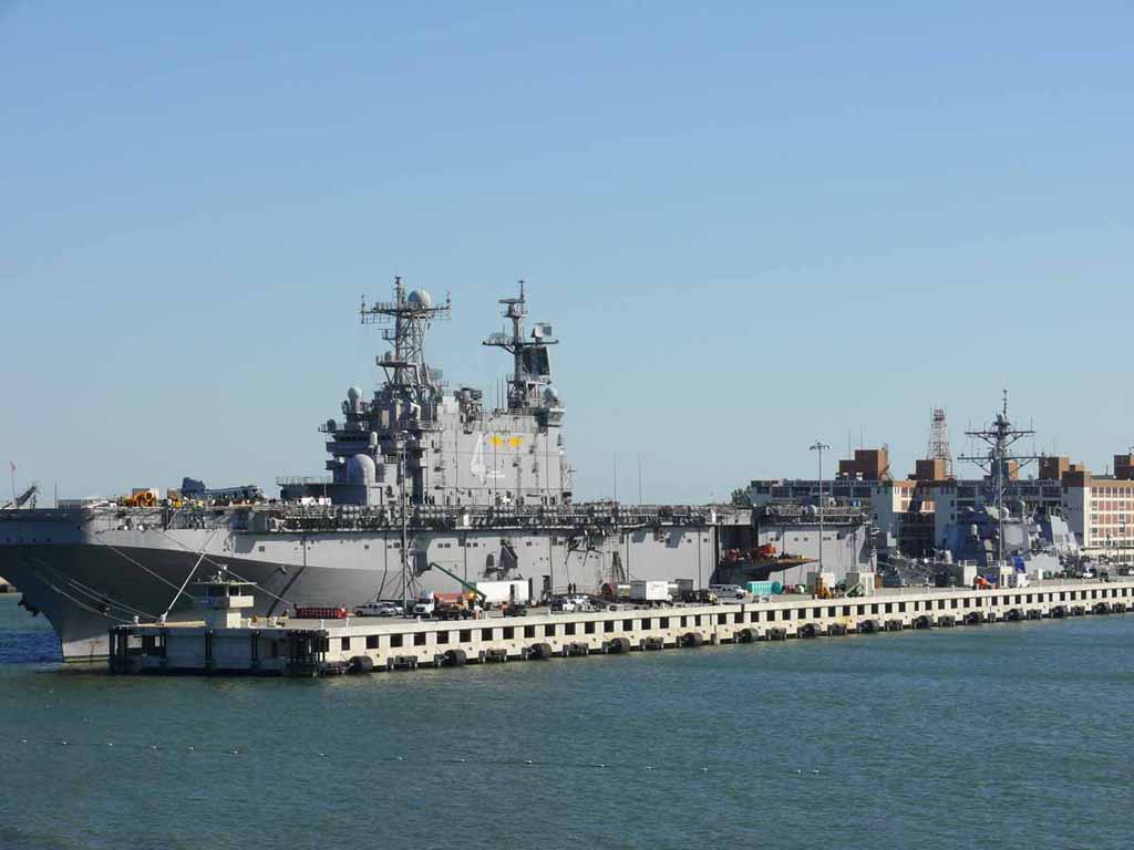
USS Iwo Jima (LHD-7) A Wasp-class amphibious assault ship. |
 |
|
|
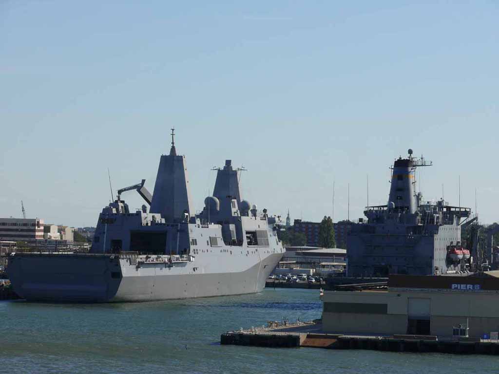
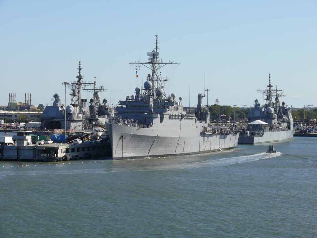
Left: USS San Antonio (LPD-17) It's an "Amphibious Transport Dock. Designed to deliver as many as 800 Marines ashore by landing craft, helo, or combination of both. |
 |
|
|
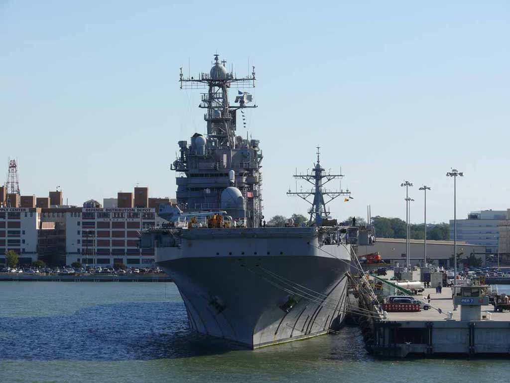
USS Nassau (LHA-4) |
 |
|
|
The Nassau is a Tarawa-Class Amphibious assault ship. Can transport up to 3000 Navy and Marine Corps personnel |
 |
|
|
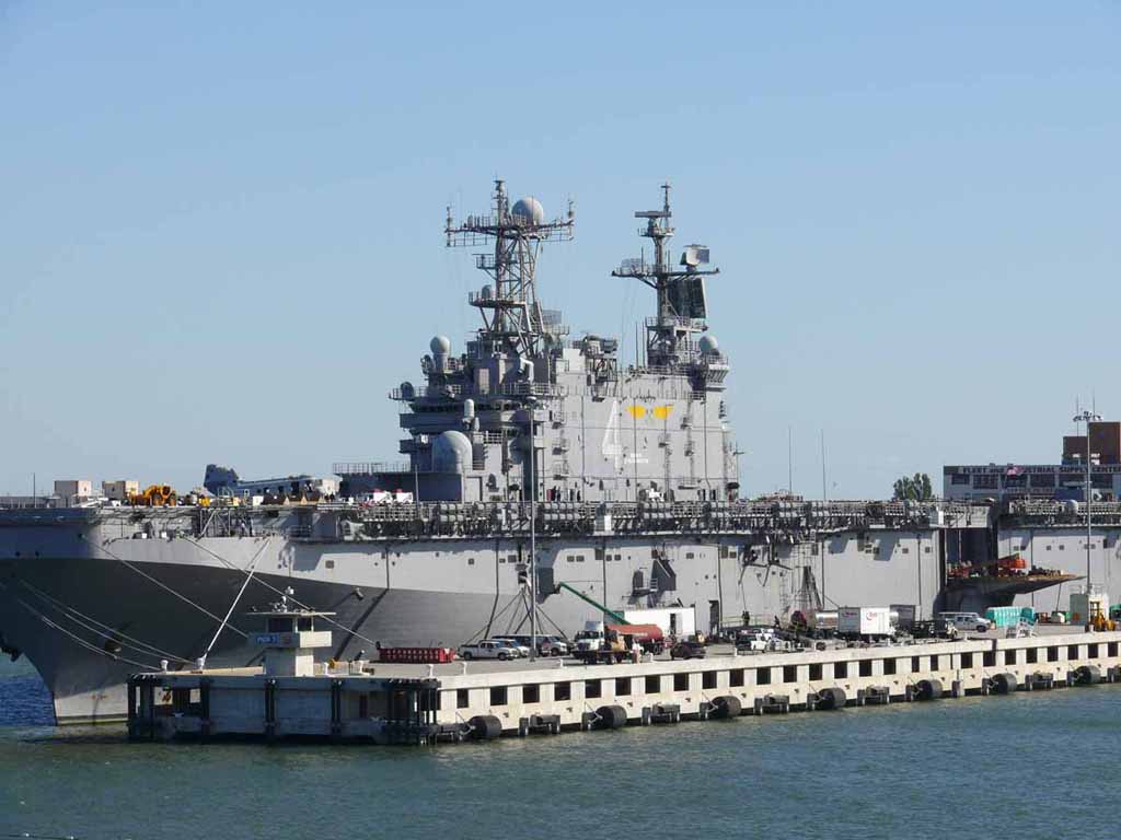
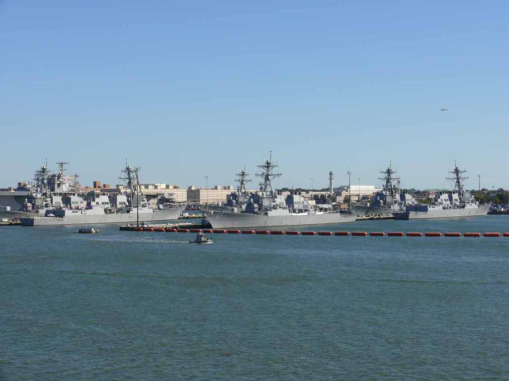
Another shot of the Nassau with the USS Ross (DDG-71) Guided-Missile Destroyer behind her. |
 |
|
|
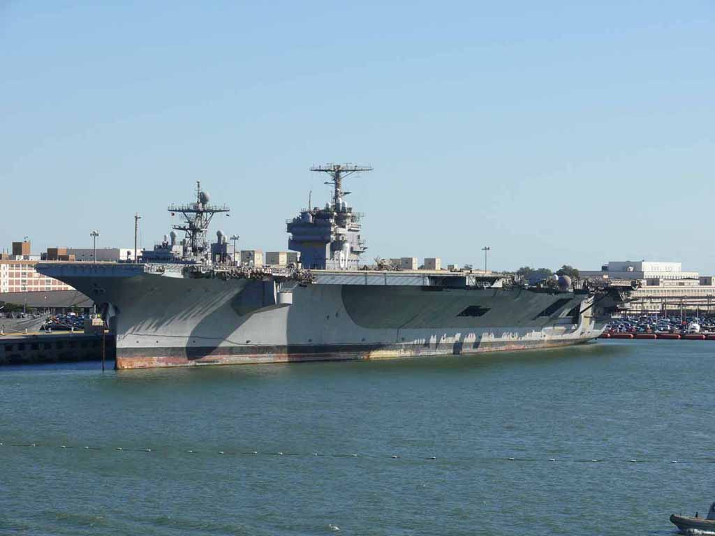
Carrier USS John F. Kennedy (CV-67) Decommissioned 3-23-2007. Seen here in Oct 2007. |
 |
|
|
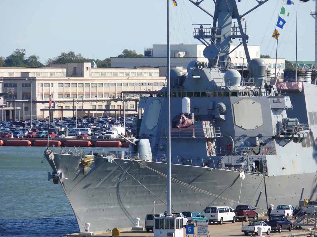
USS McFaul (DDG-74) Burke-class Destroyer |
 |
|
|
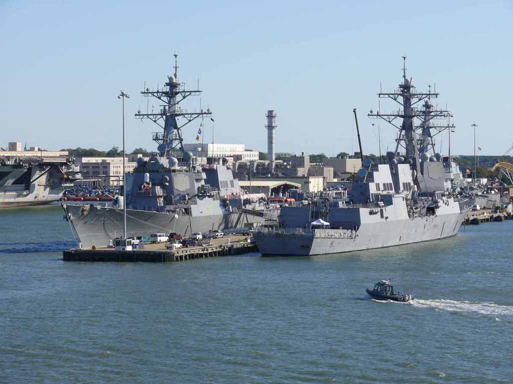
USS McFaul (left) and the USS Nitze (DDG-94). Another Burke-class Guided Missile Destroyer And another one (USS Mitscher) hiding behind the McFaul. |
 |
|
|
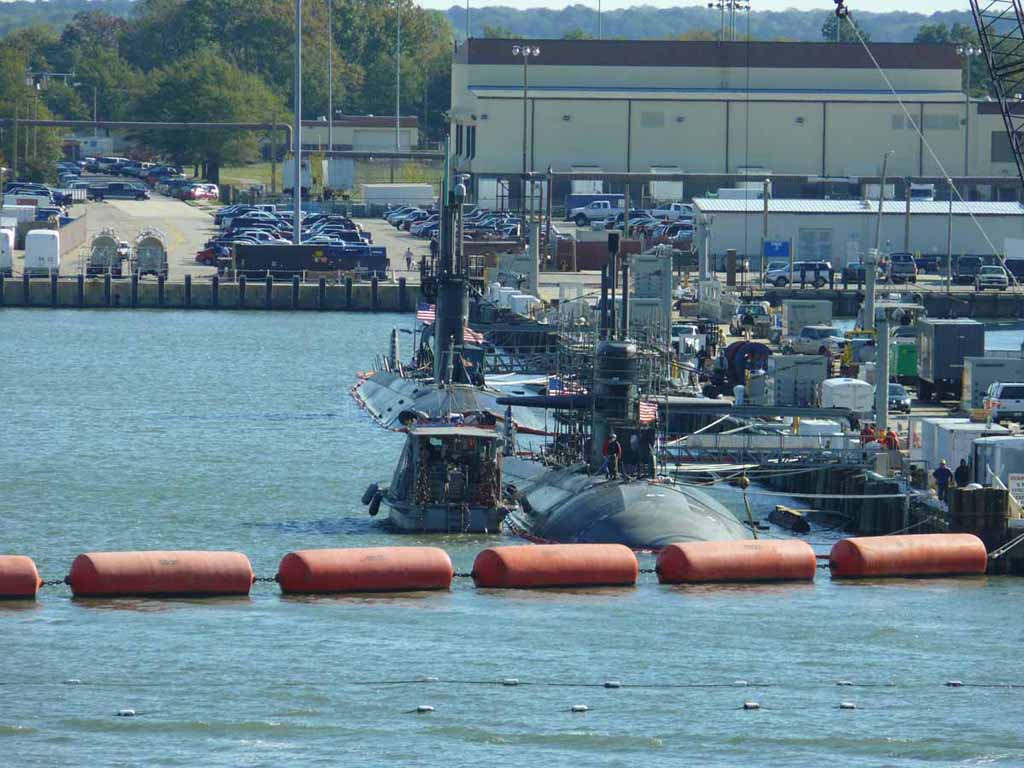
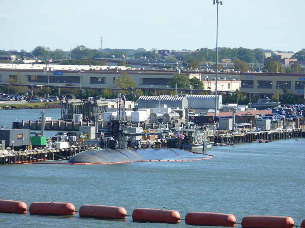
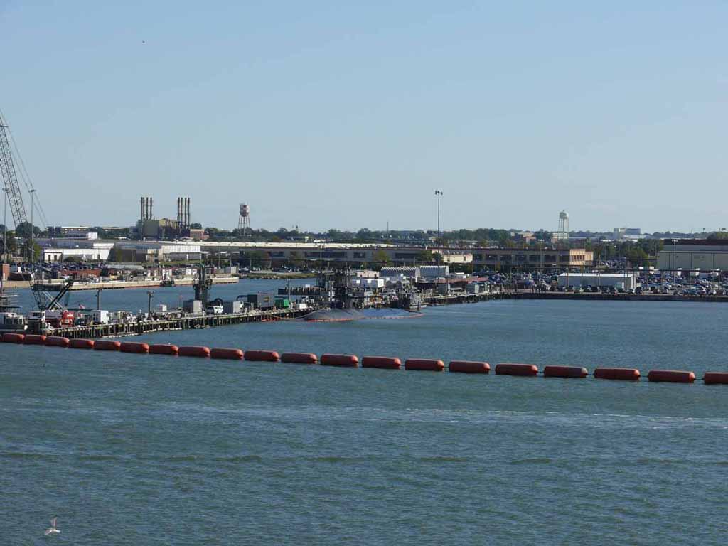
Front: USS Jacksonville (SSN-699) Los Angeles-class Submarine. Based on what I can find about who was in port when, I'm 99% sure the one at the back of the photo is the USS Montpelier (SSN-765) |
 |
|
|
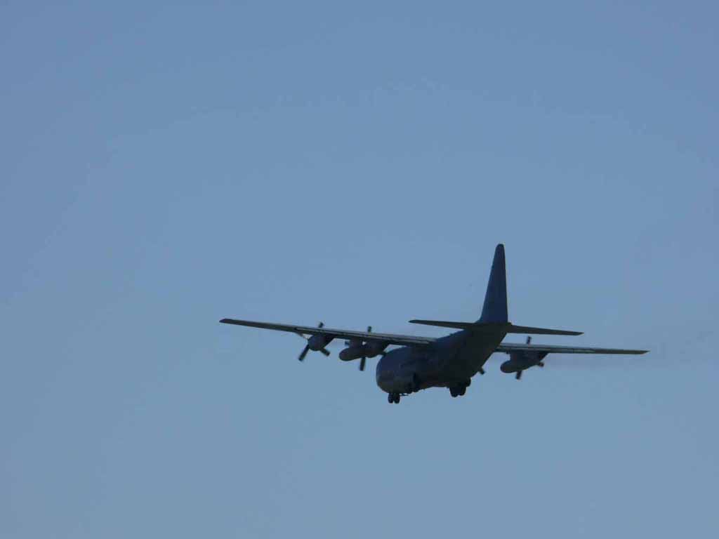
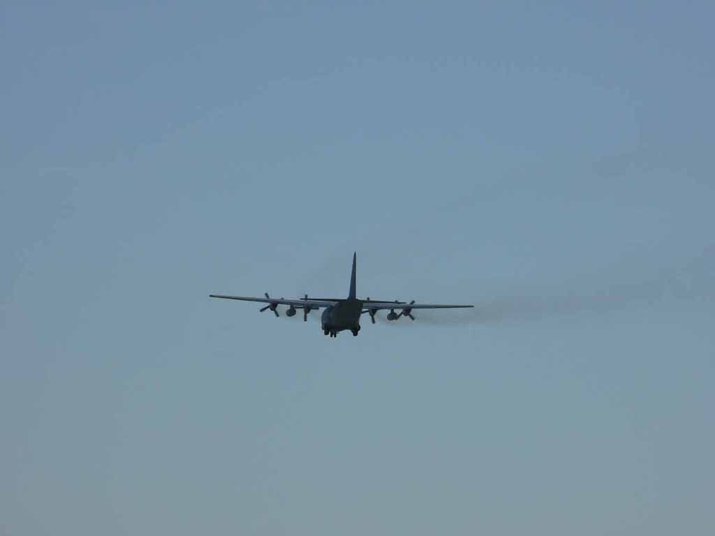
A C-130 coming in for a landing at Chambers Field. |
 |
|
|
Another shot of the same plane. |
 |
|
|
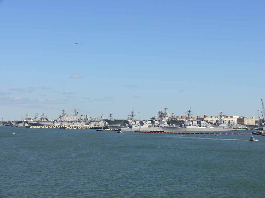
Lots of hardware and firepower. Left to right: The decomm'ed JFK (CV-67), the McFaul (DDG-74), the Nitze (DDG-94), the Mitscher (DDG-57), the Rampage (DDG-71), the Oscar Austin (DDG-79), and the Mason (DDG-87) |
 |
|
|
USS Norfolk (SSN-714). |
 |
|
|
Norfolk with just the tower of Montpelier showing left. |
 |
|
|
USS Nashville (LPD-13) Austin-class amphibious transport doc Not sure who's left and behind |
 |
|
|
A long shot of everything described above. |
 |
|
|
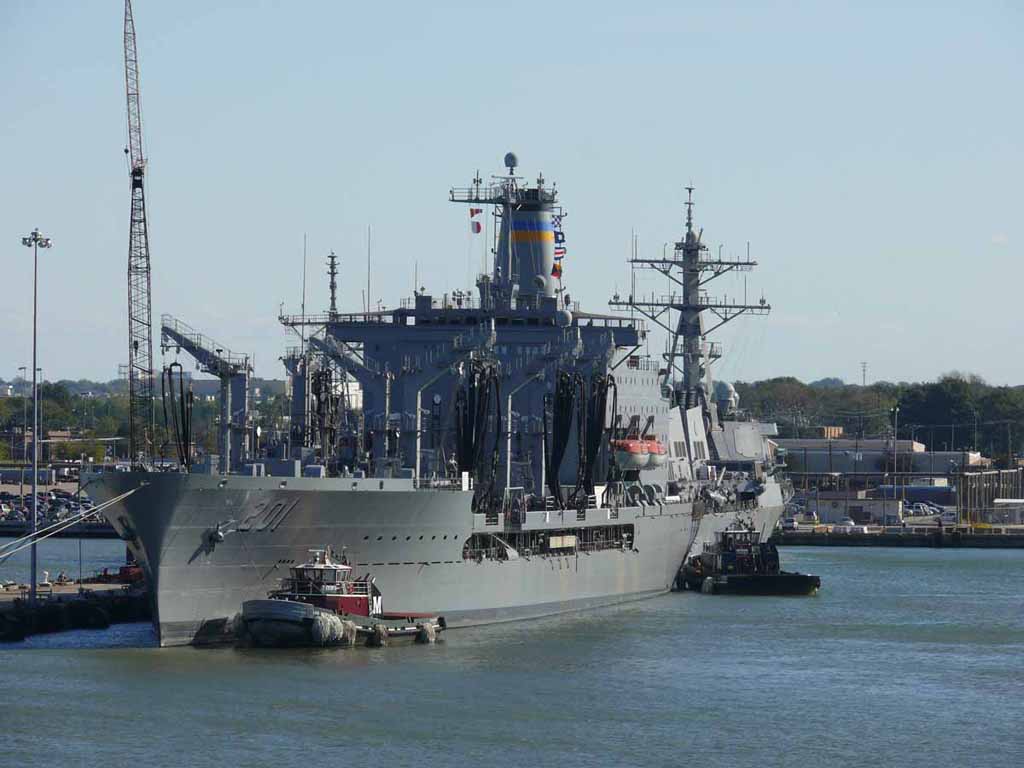
USNA Patuxent (T-AO-201) - Fleet Oiler |
 |
|
|
|
 |
|
|
A Coast Guard RHI at the ready. |
 |
|
|
|
 |
|
|
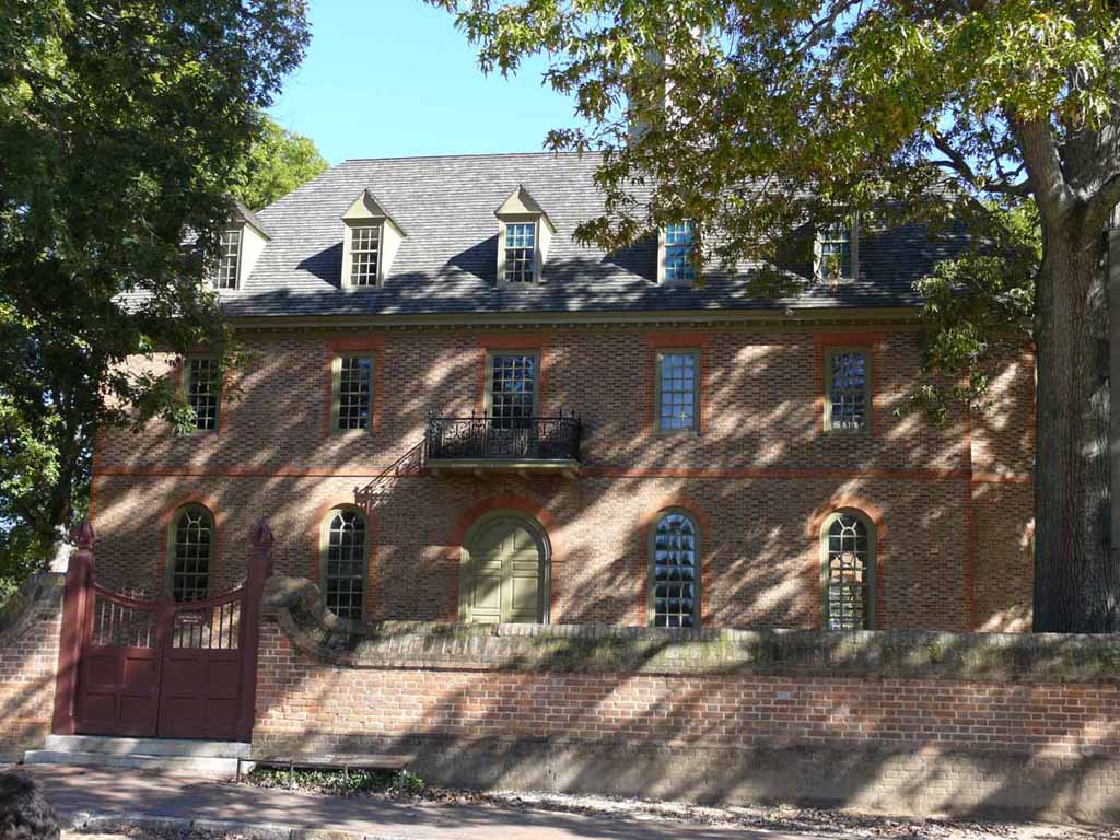
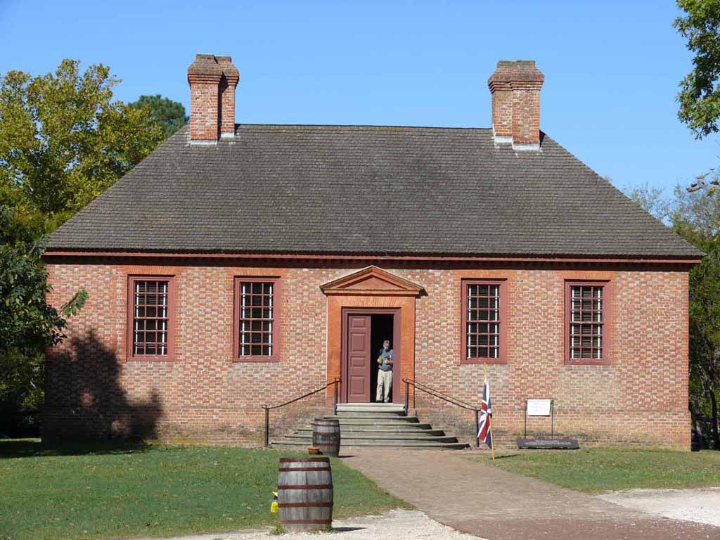
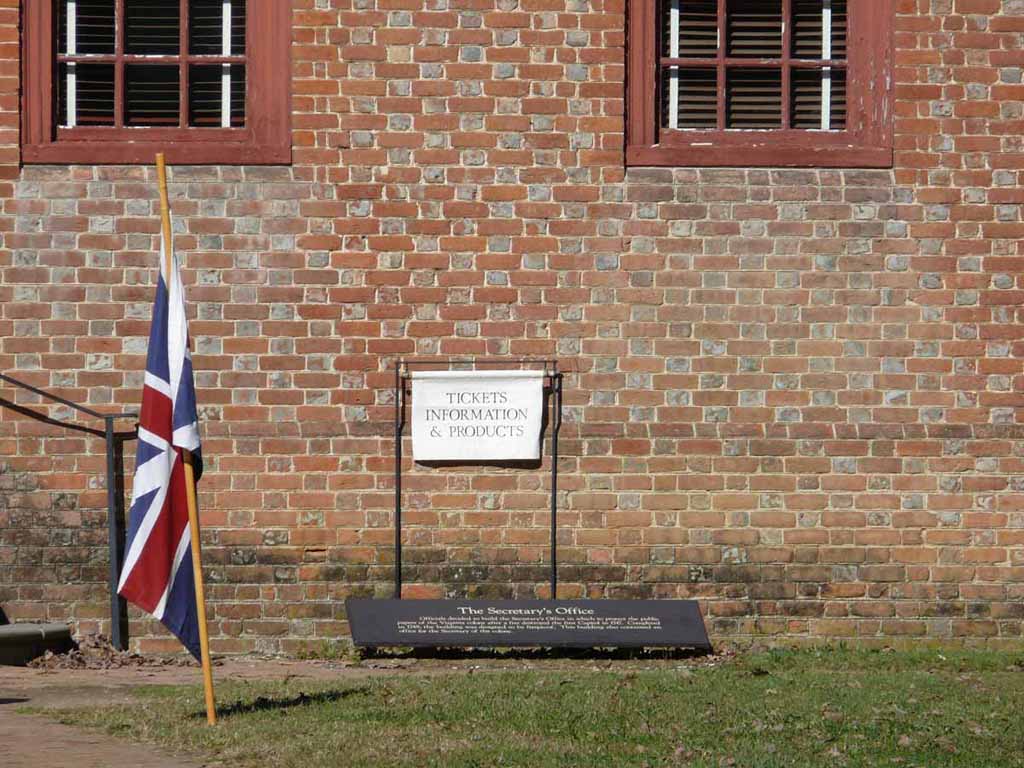
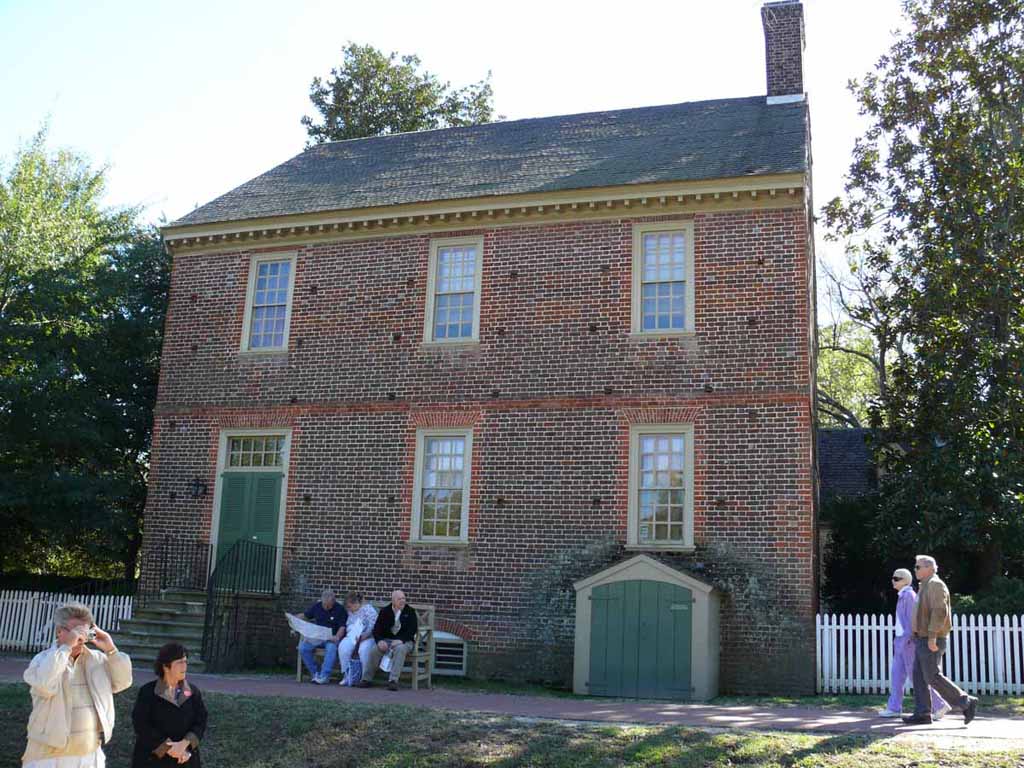
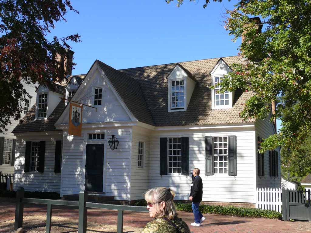
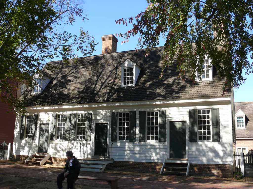
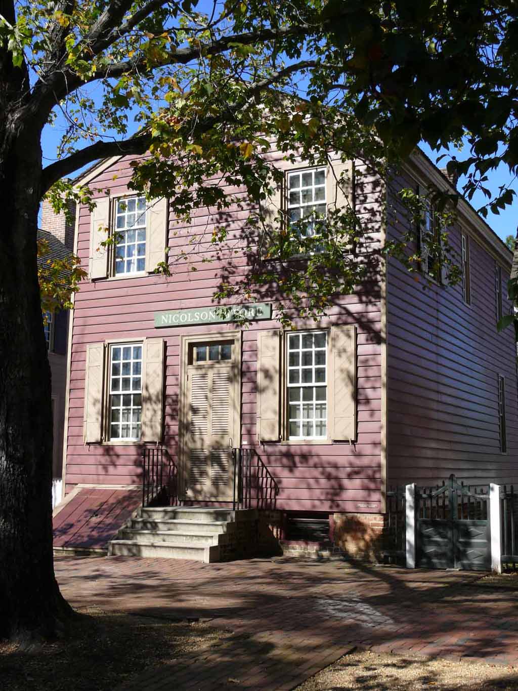
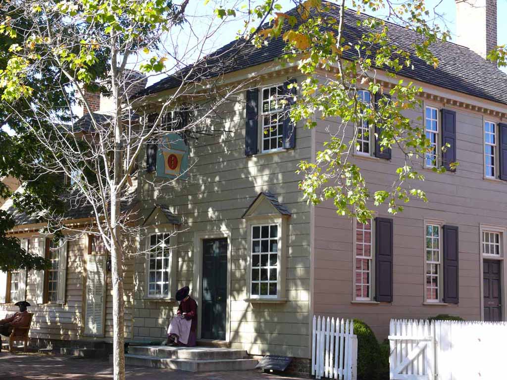
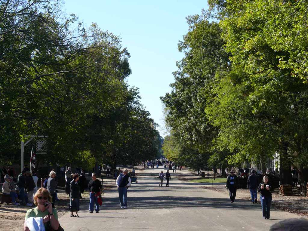
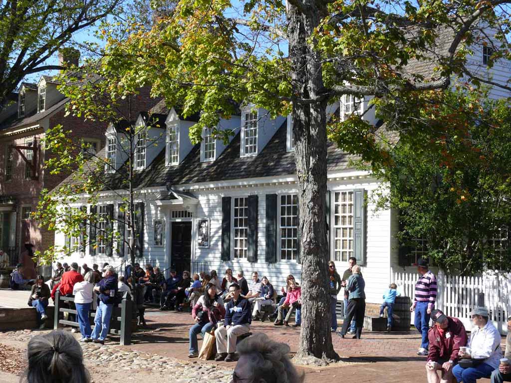
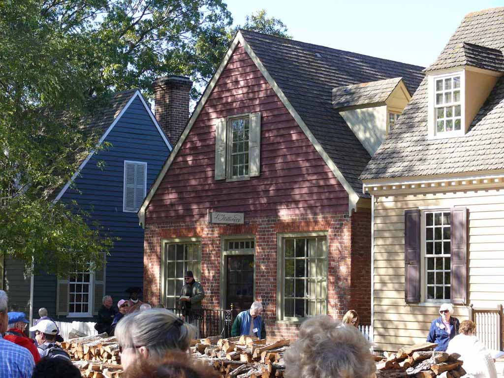
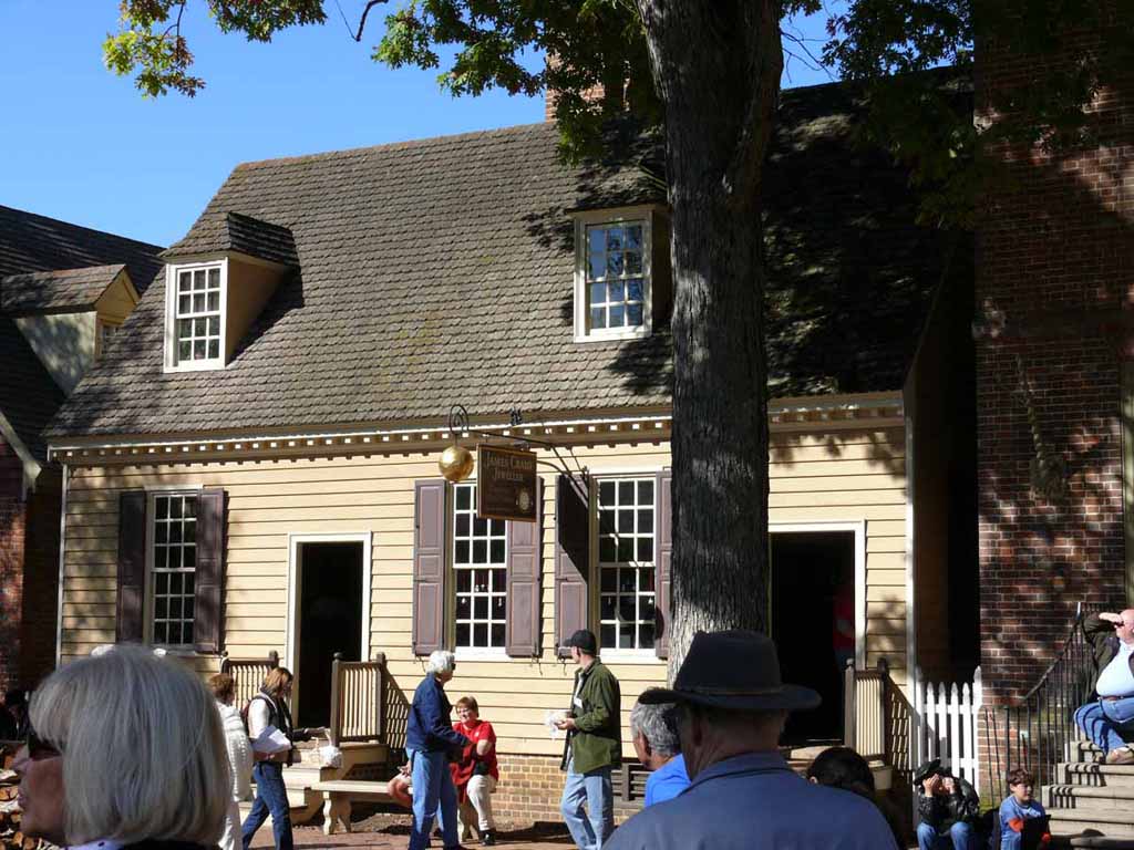
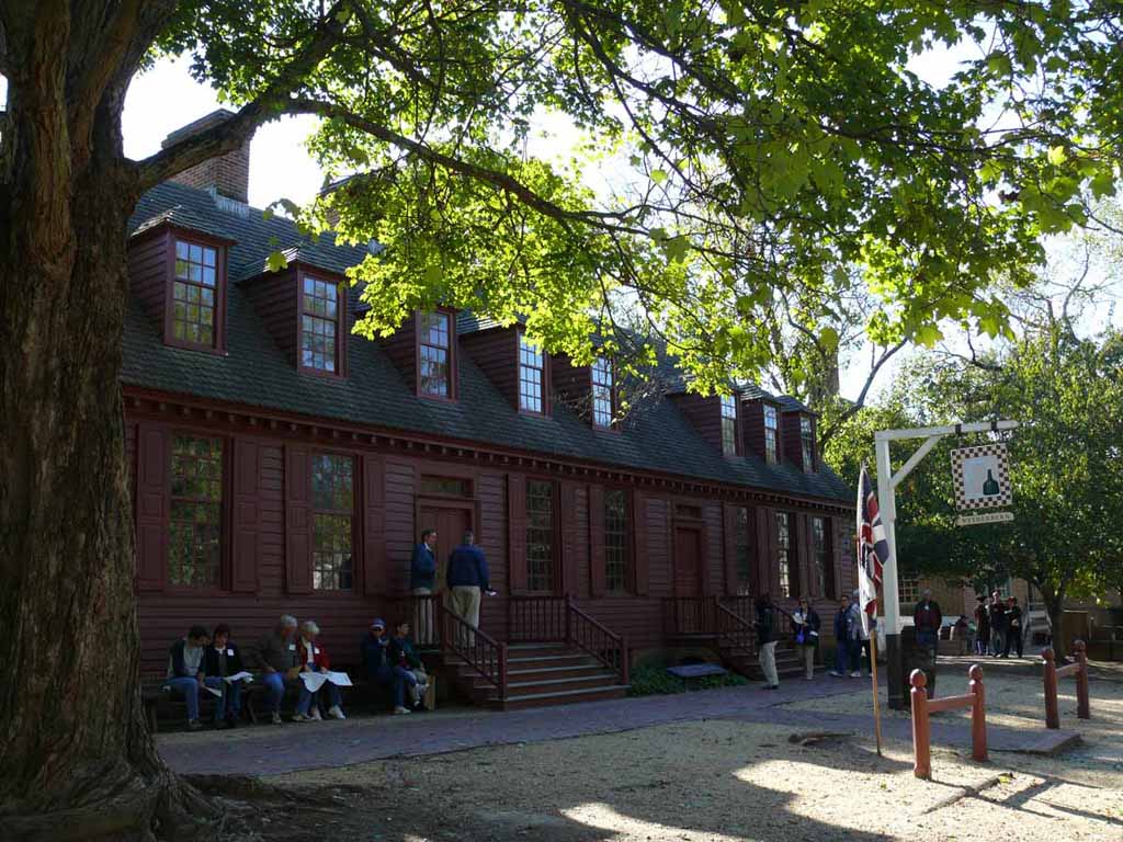
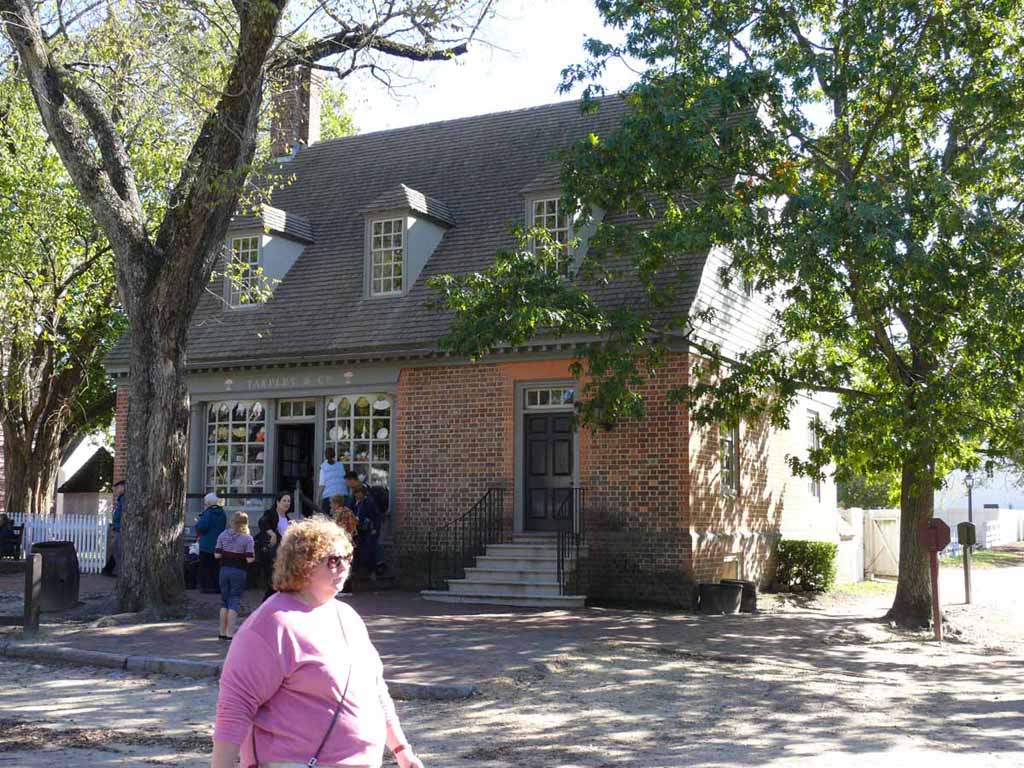
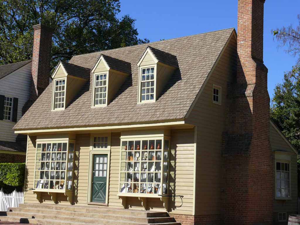
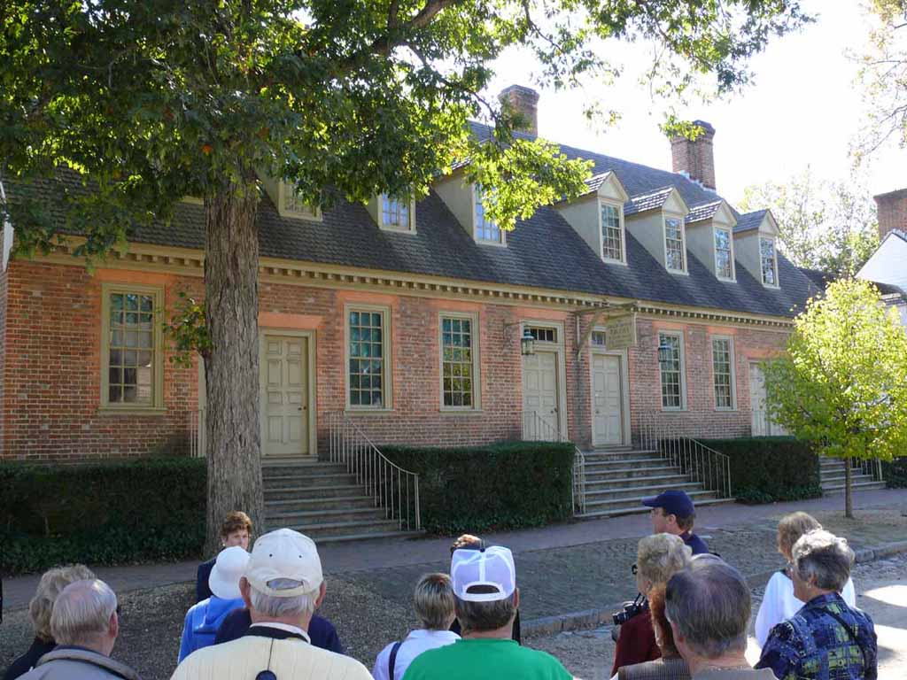
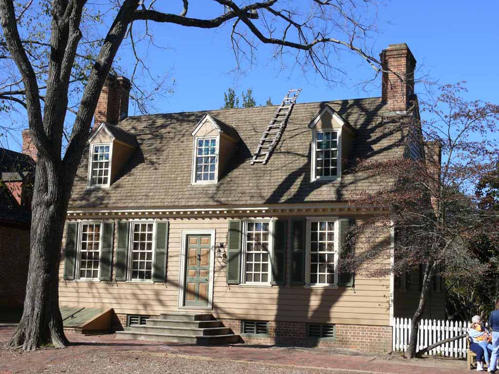
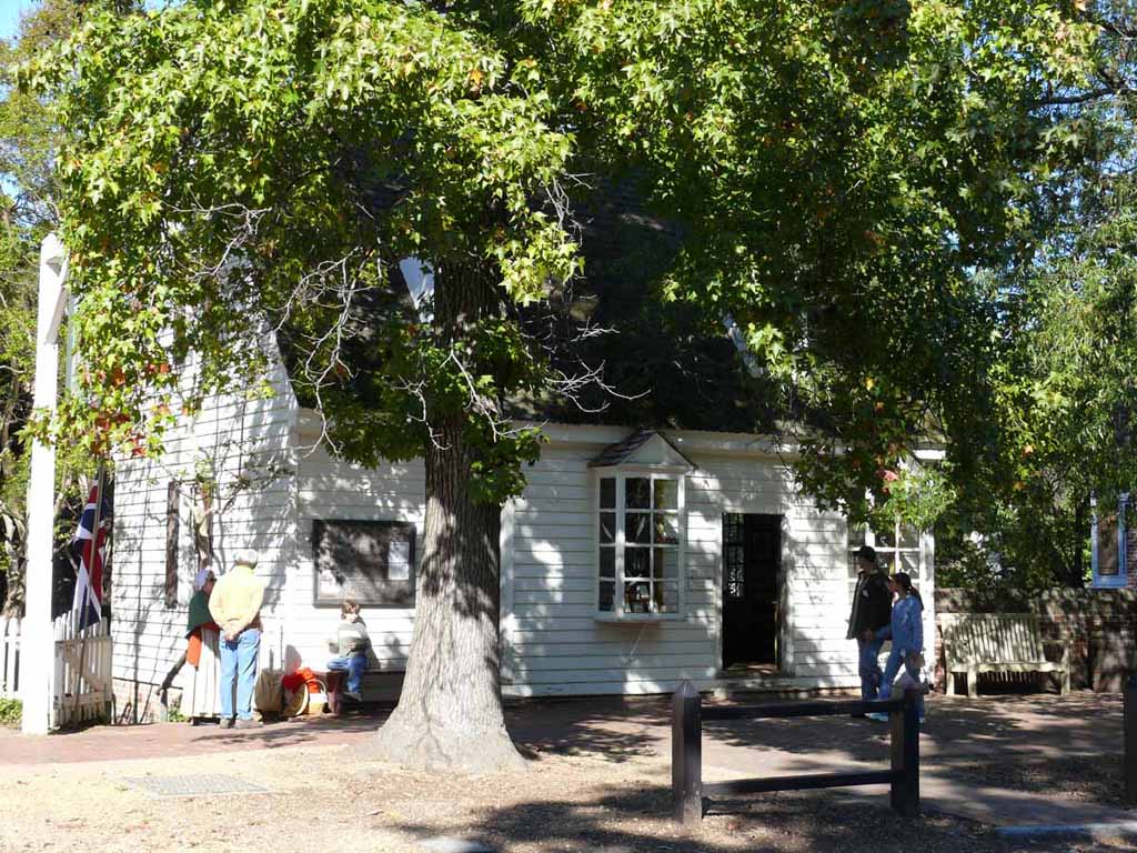
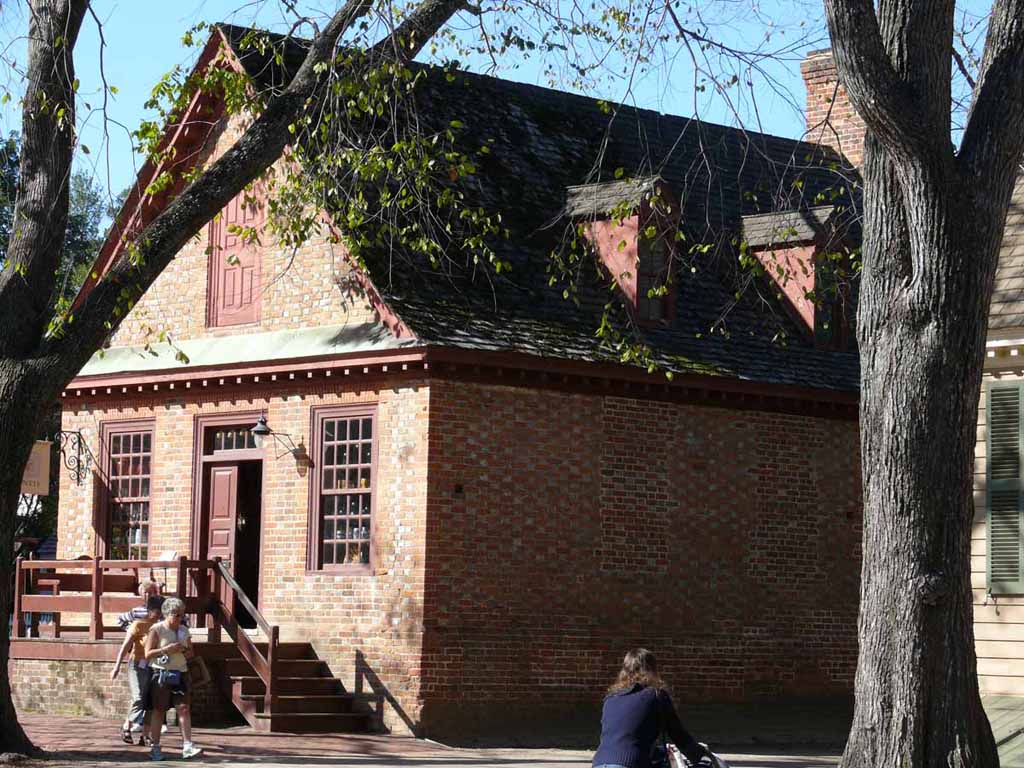
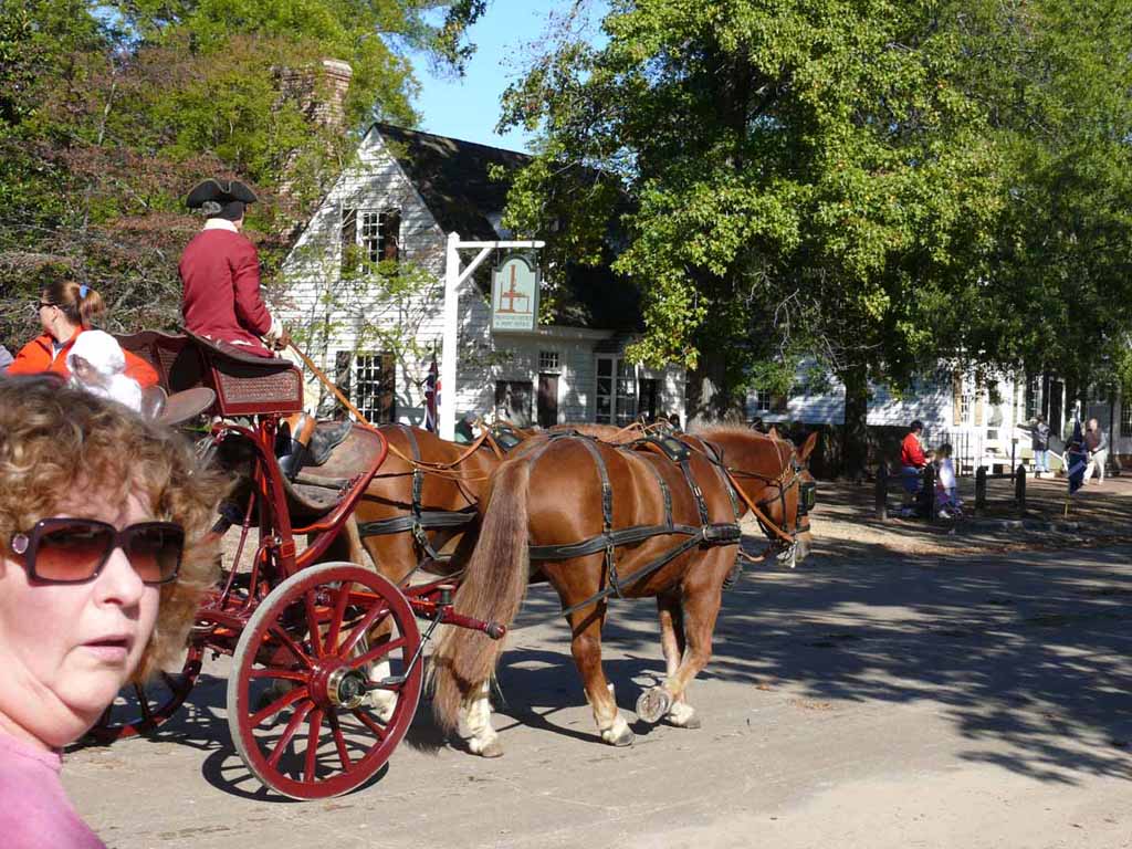
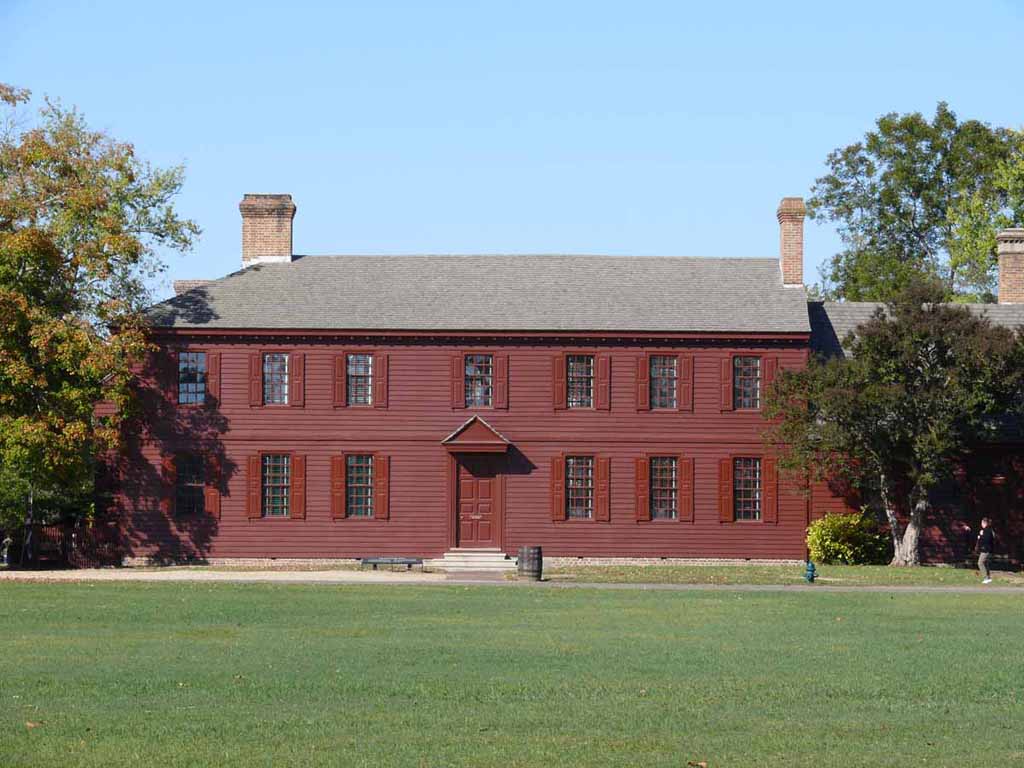
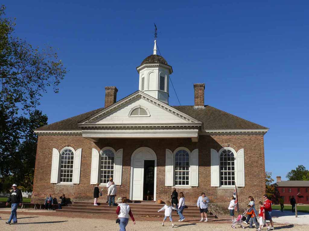
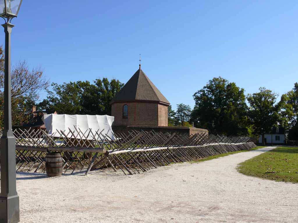
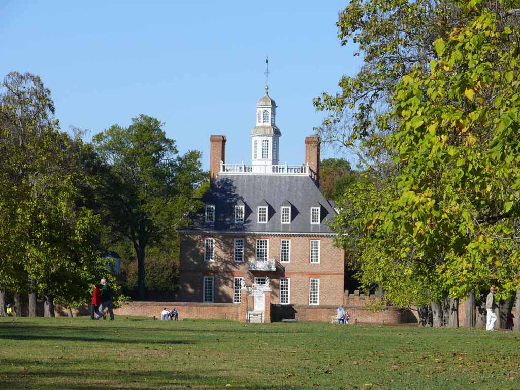
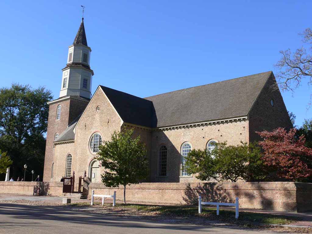
The following are shots from Colonial Williamsburg. |
 |
|
|
|
 |
|
|
|
 |
|
|
|
 |
|
|
|
 |
|
|
|
 |
|
|
|
 |
|
|
|
 |
|
|
|
 |
|
|
|
 |
|
|
|
 |
|
|
|
 |
|
|
|
 |
|
|
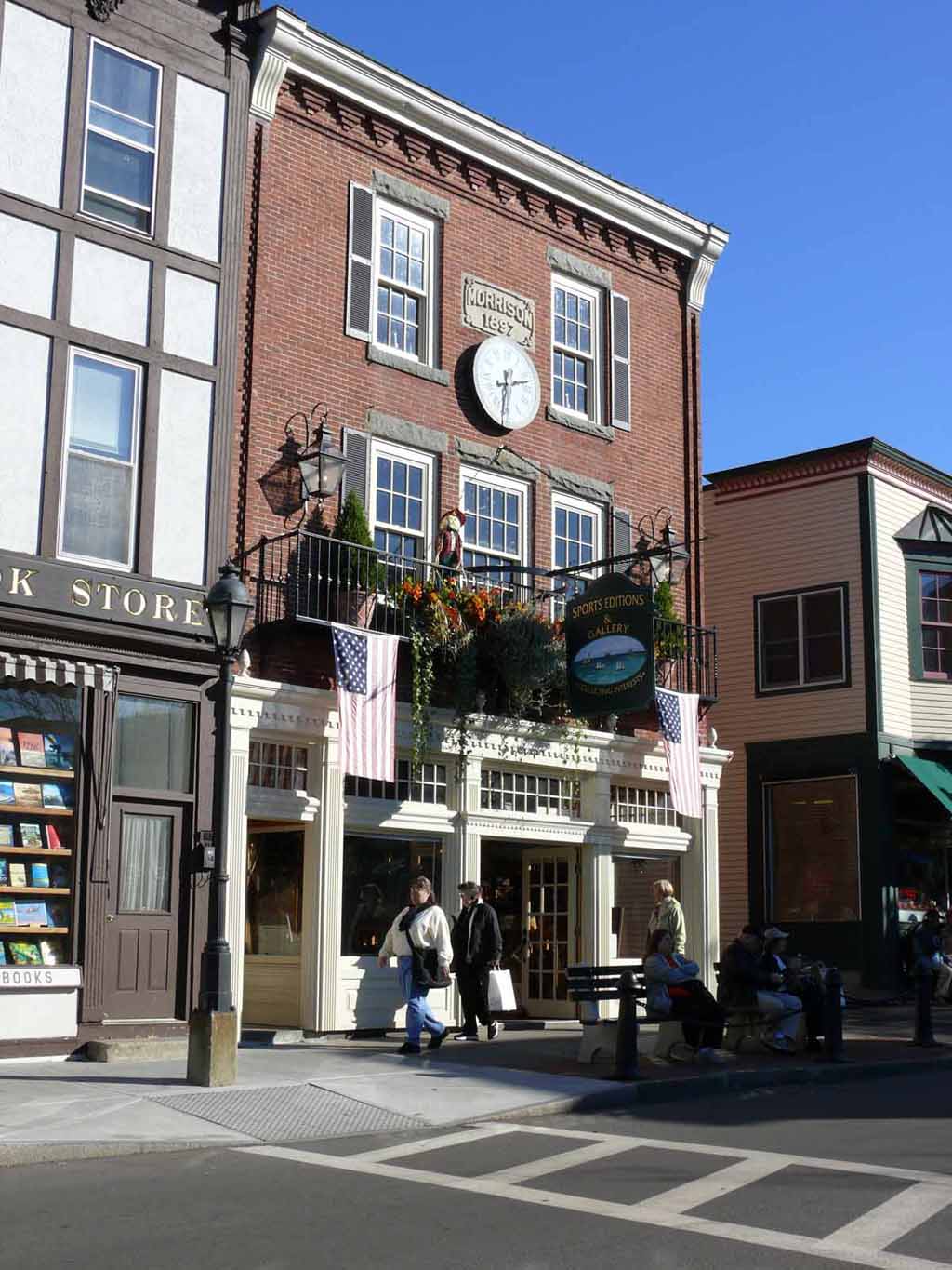
Whaddaya know, a modern wife strolling through Williamsburg. |
 |
|
|
|
 |
|
|
|
 |
|
|
|
 |
|
|
|
 |
|
|
|
 |
|
|
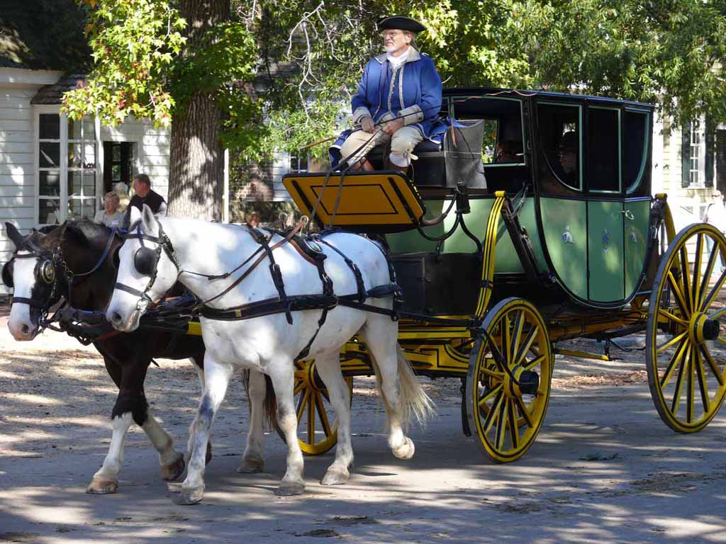
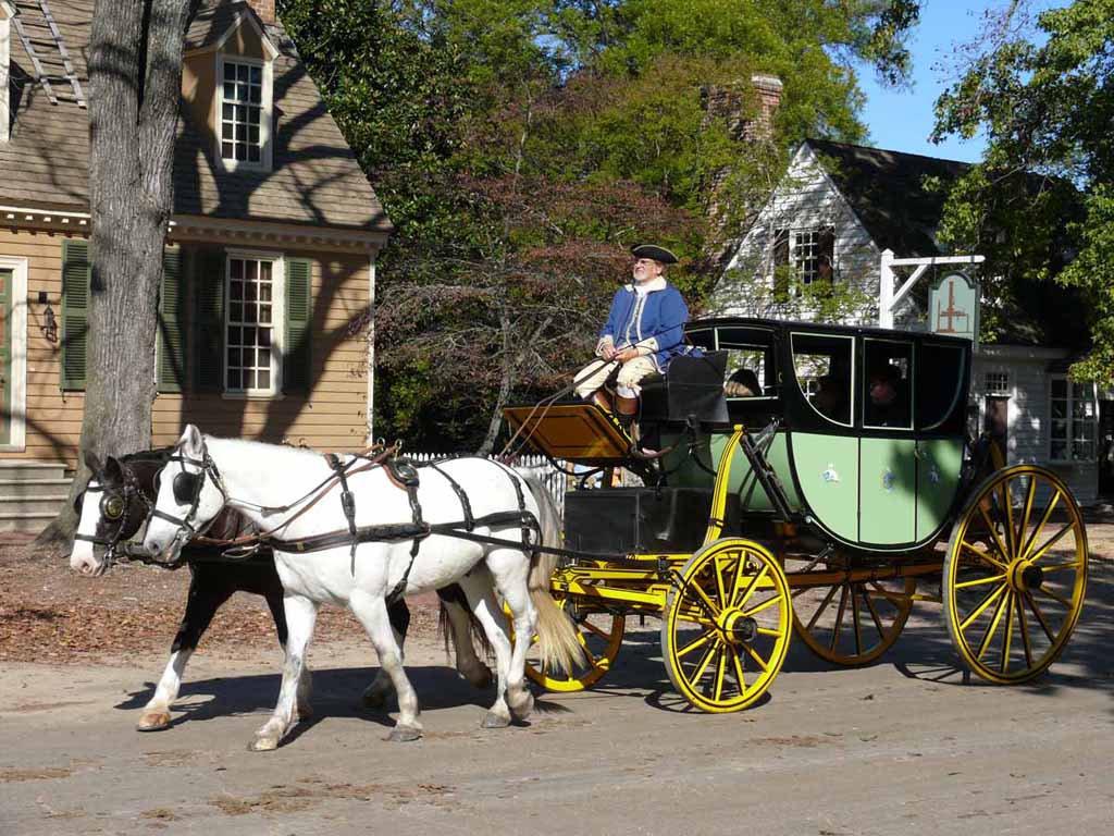
Hey lady, want a carriage ride? |
 |
|
|
More horsies |
 |
|
|
|
 |
|
|
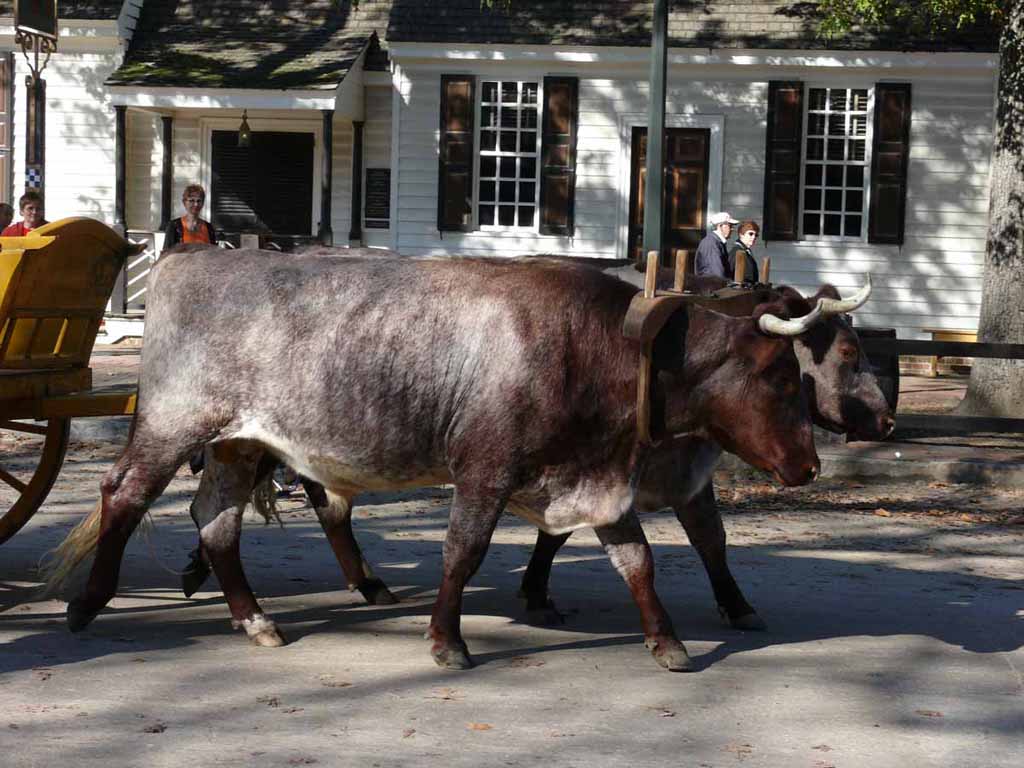
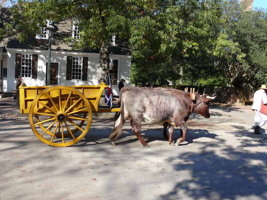
Not the speediest for of transport. |
 |
|
|
|
 |
|
|
|
 |
|
|
|
 |
|
|
|
 |
|
|
|
 |
|
|
|
 |
|
|
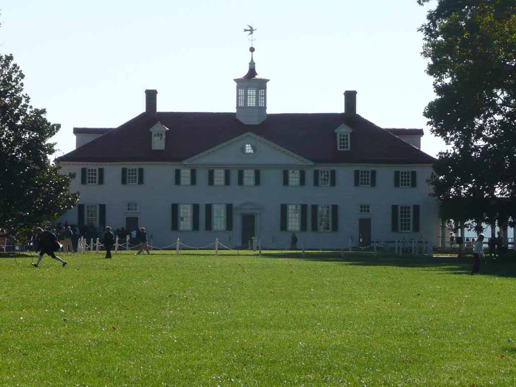
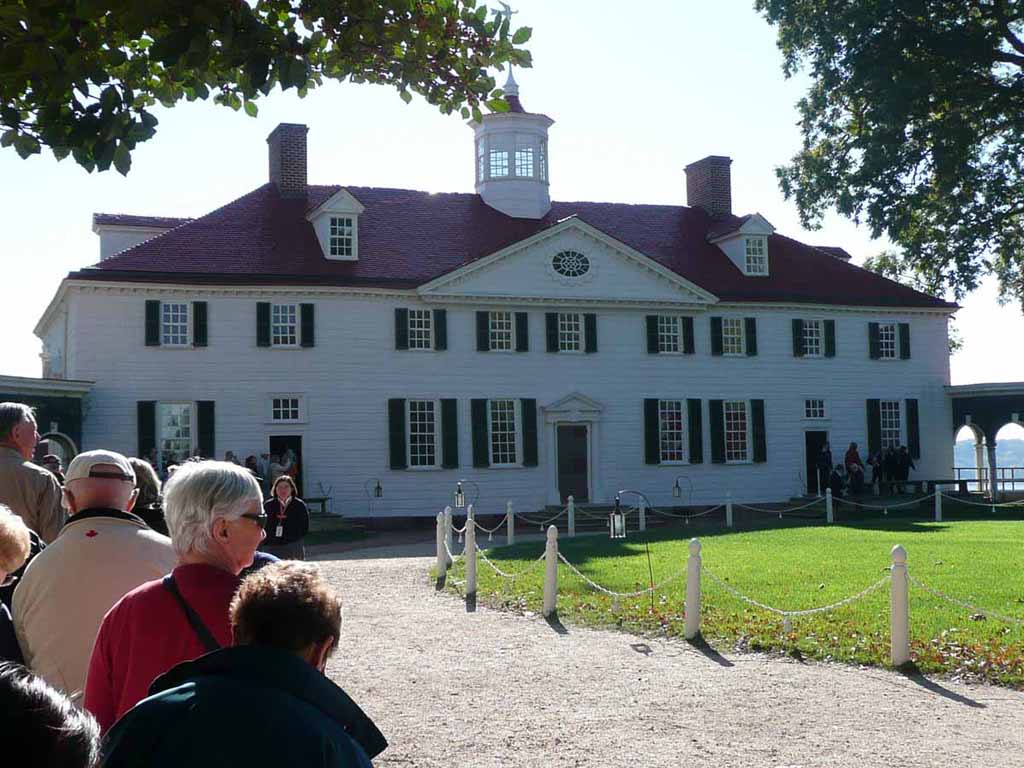
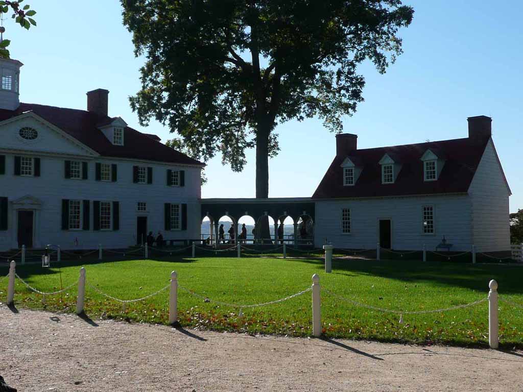
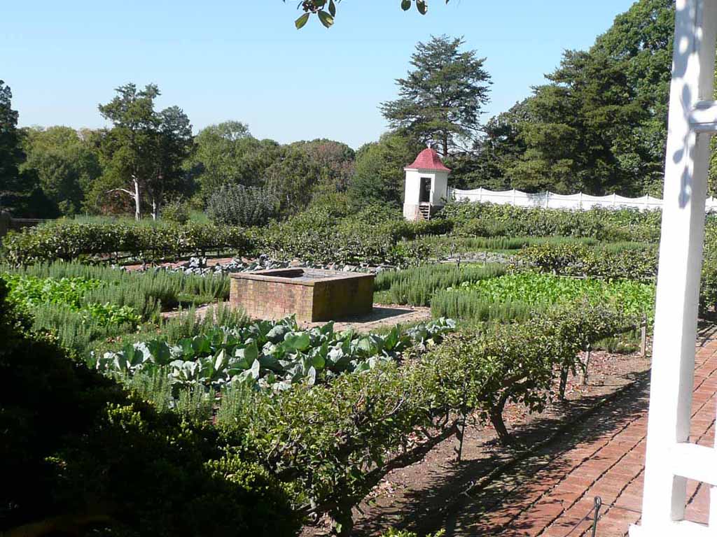
Onward to Mt Vernon |
 |
|
|
|
 |
|
|
|
 |
|
|
|
 |
|
|
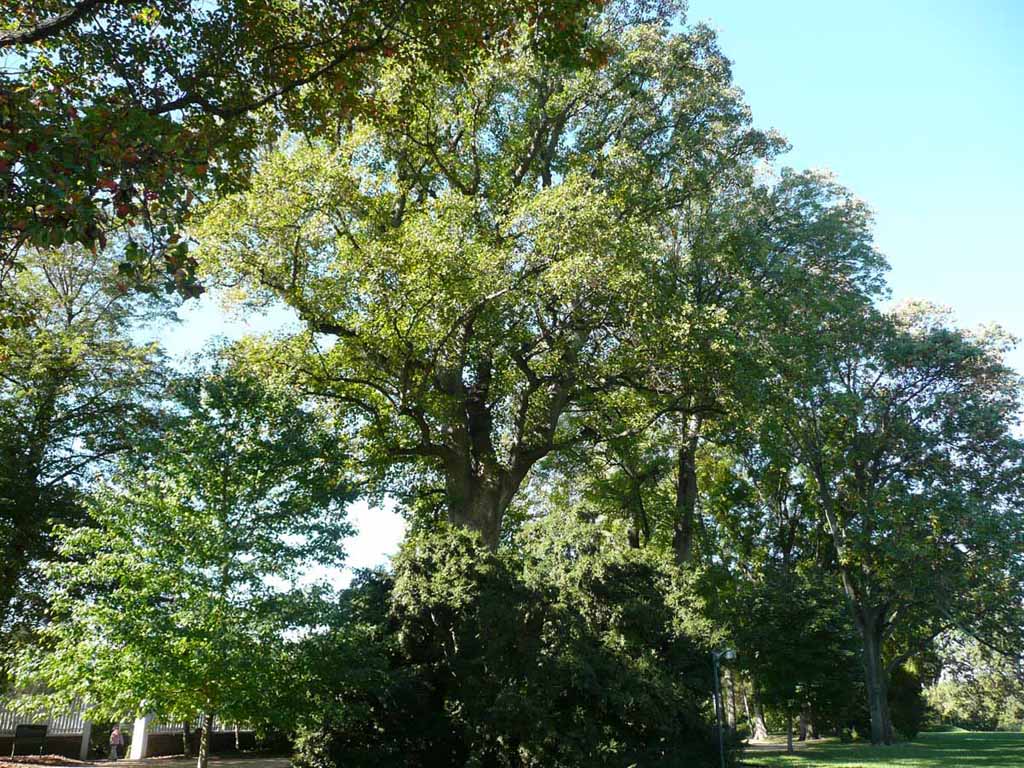
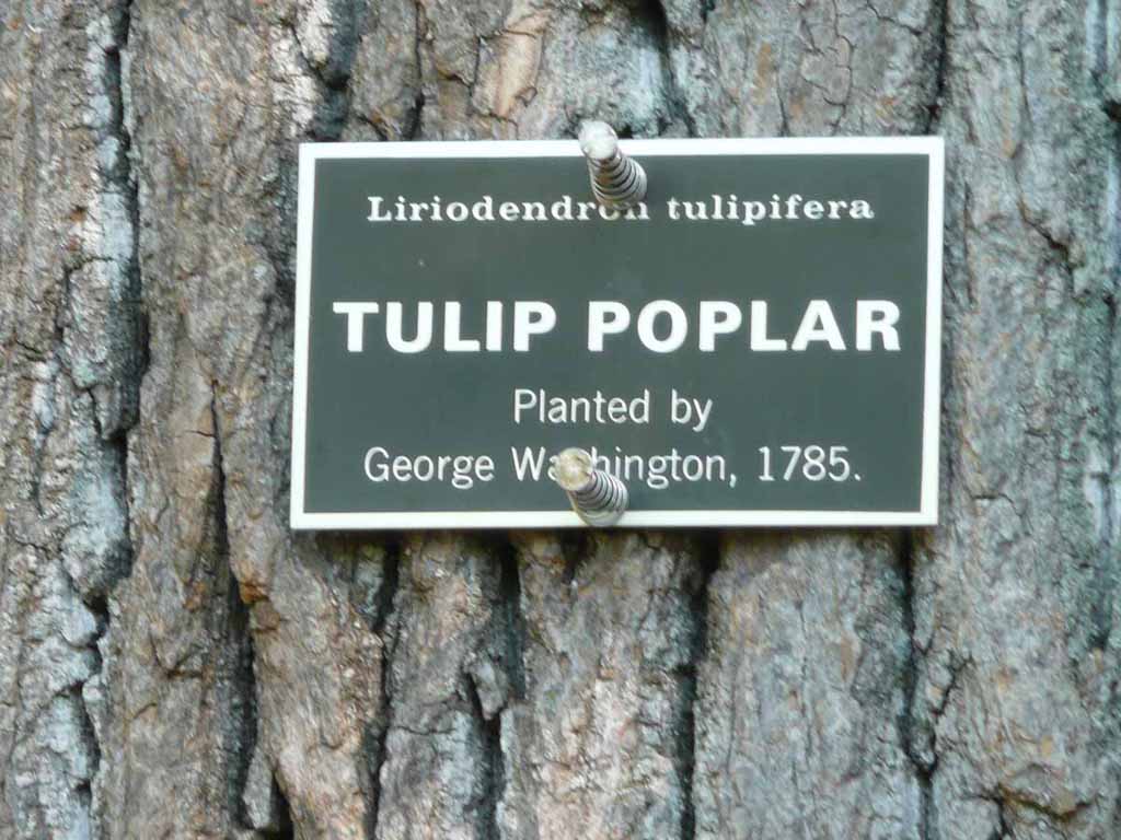
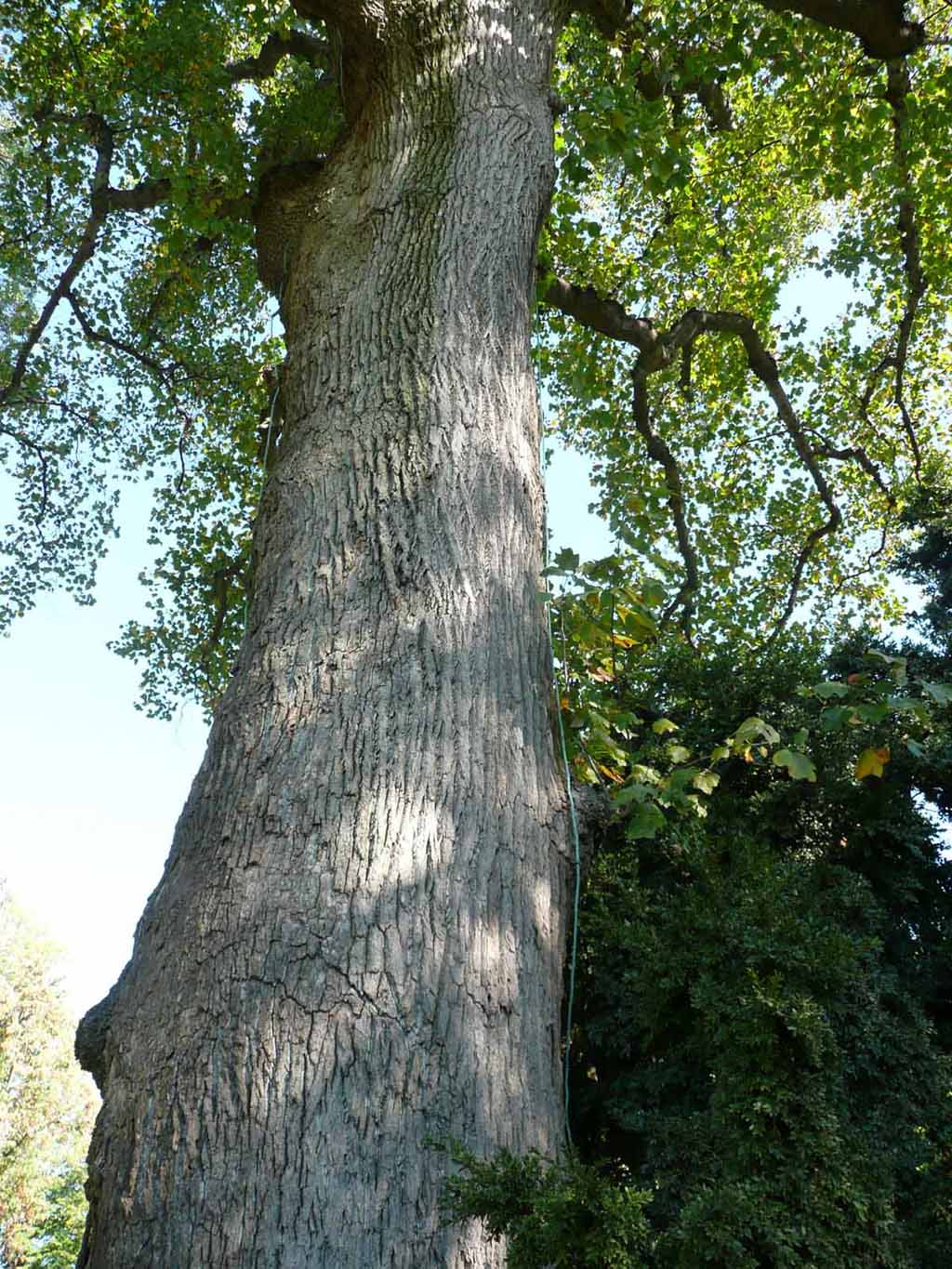
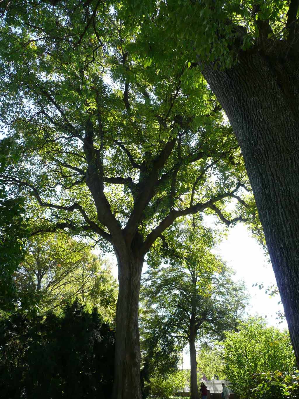
Big Old Tulip Popular trees |
 |
|
|
|
 |
|
|
|
 |
|
|
|
 |
|
|
|
 |
|
|
|
 |
|
|
|
 |
|
|
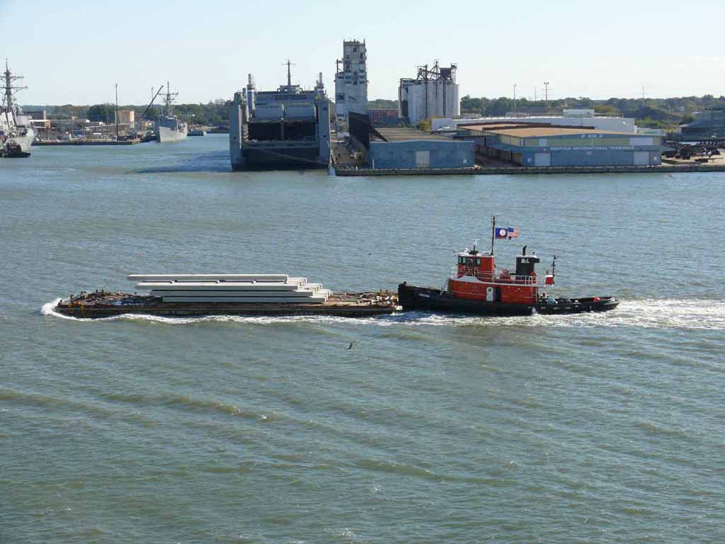
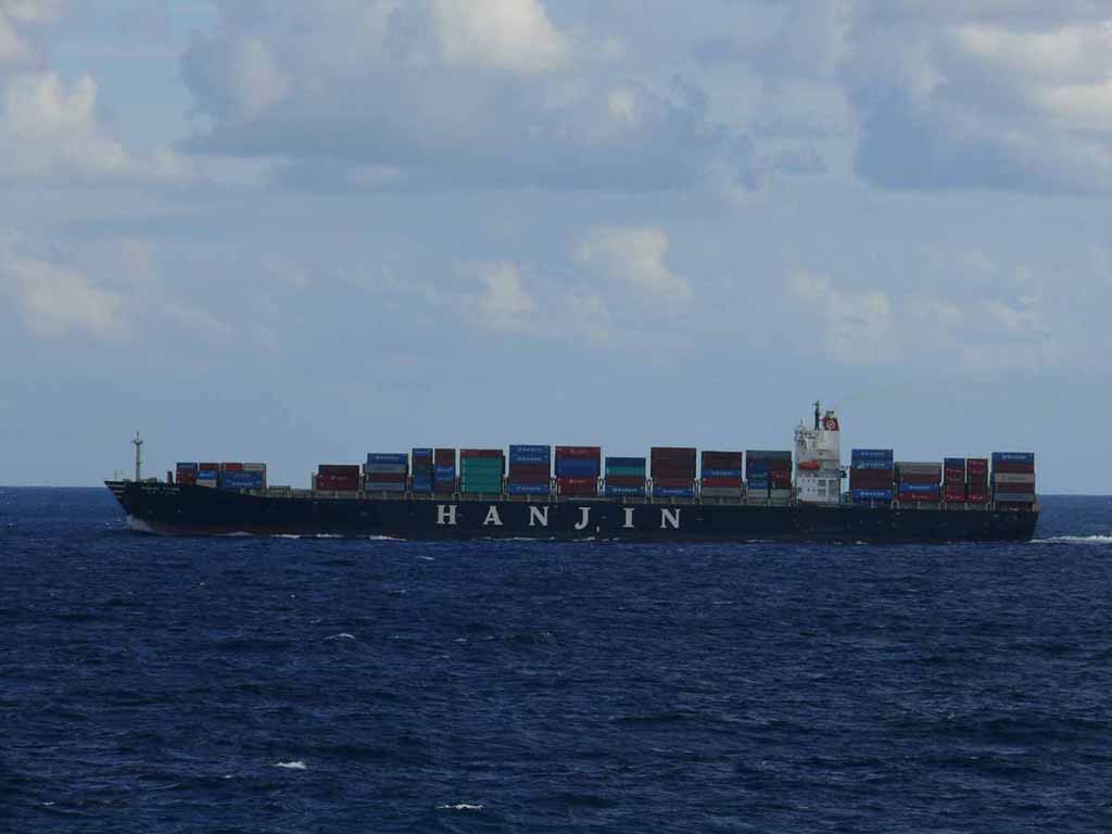
On our way to Charleston we passed this pretty good size container ship. |
 |
|
|
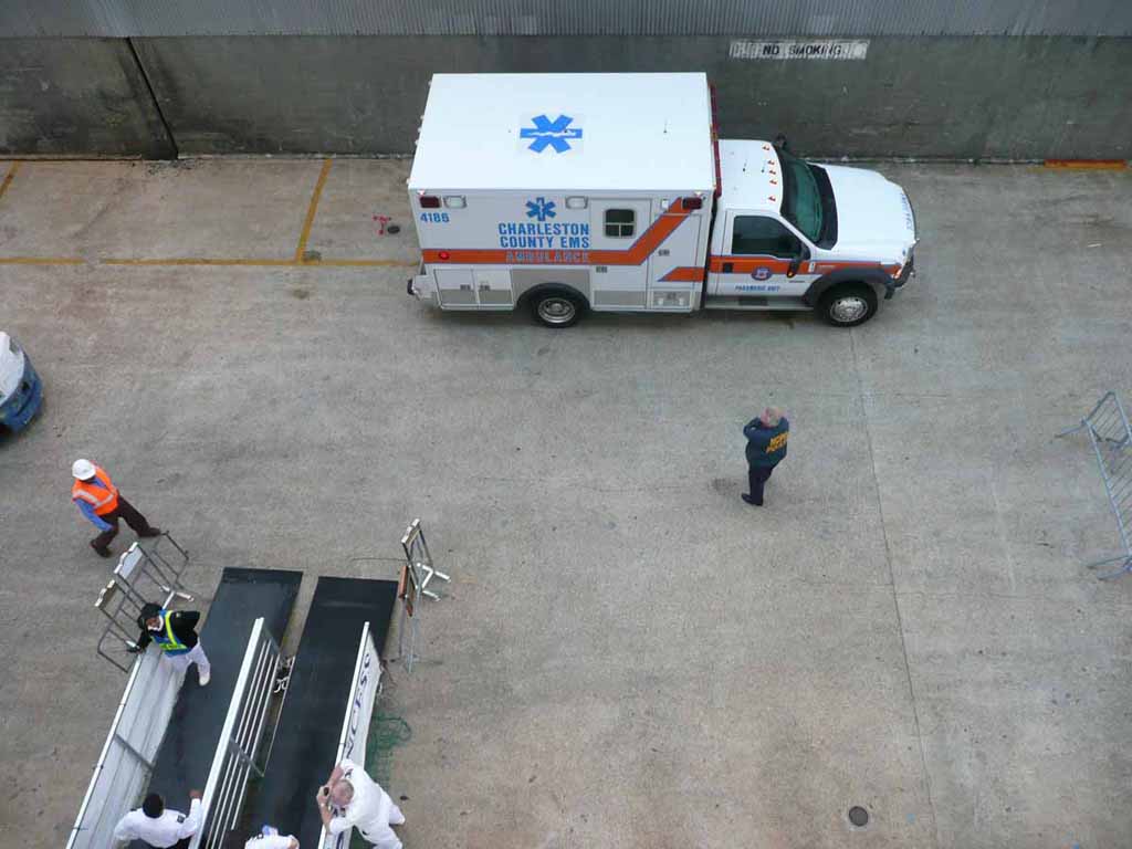
Not sure what the issue was, but someone had to be taken off the ship before we disembarked in Charleston |
 |
|
|
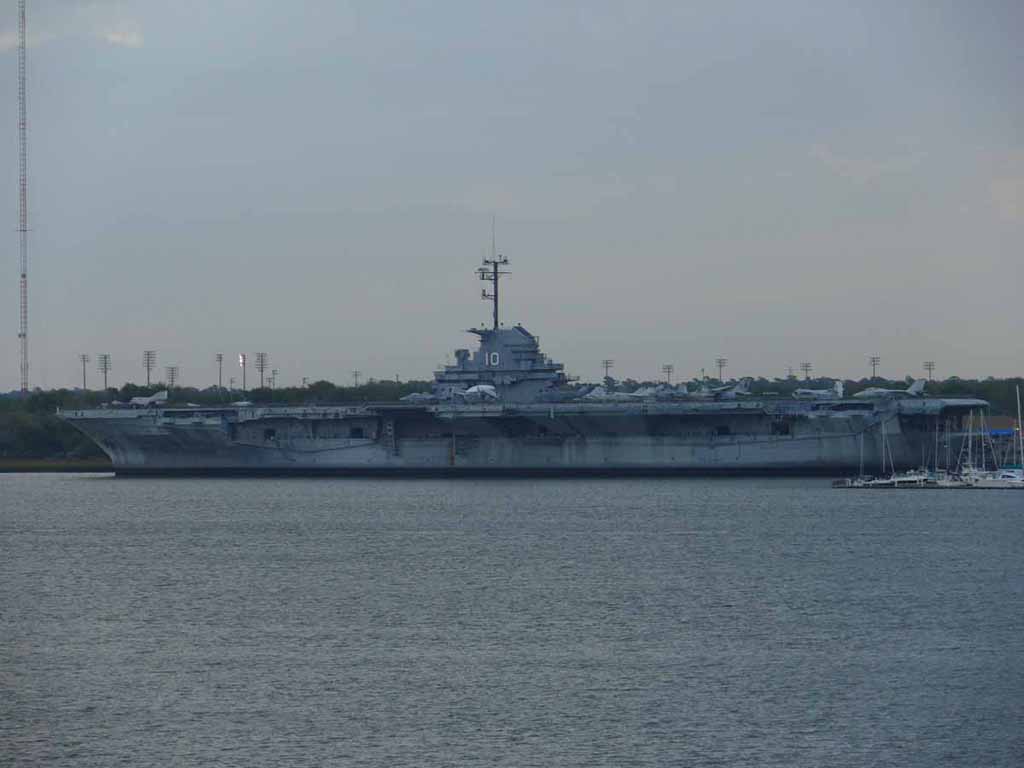
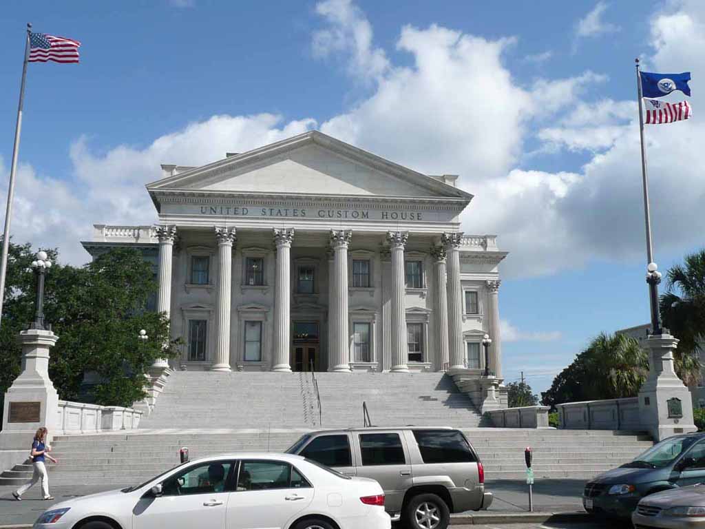
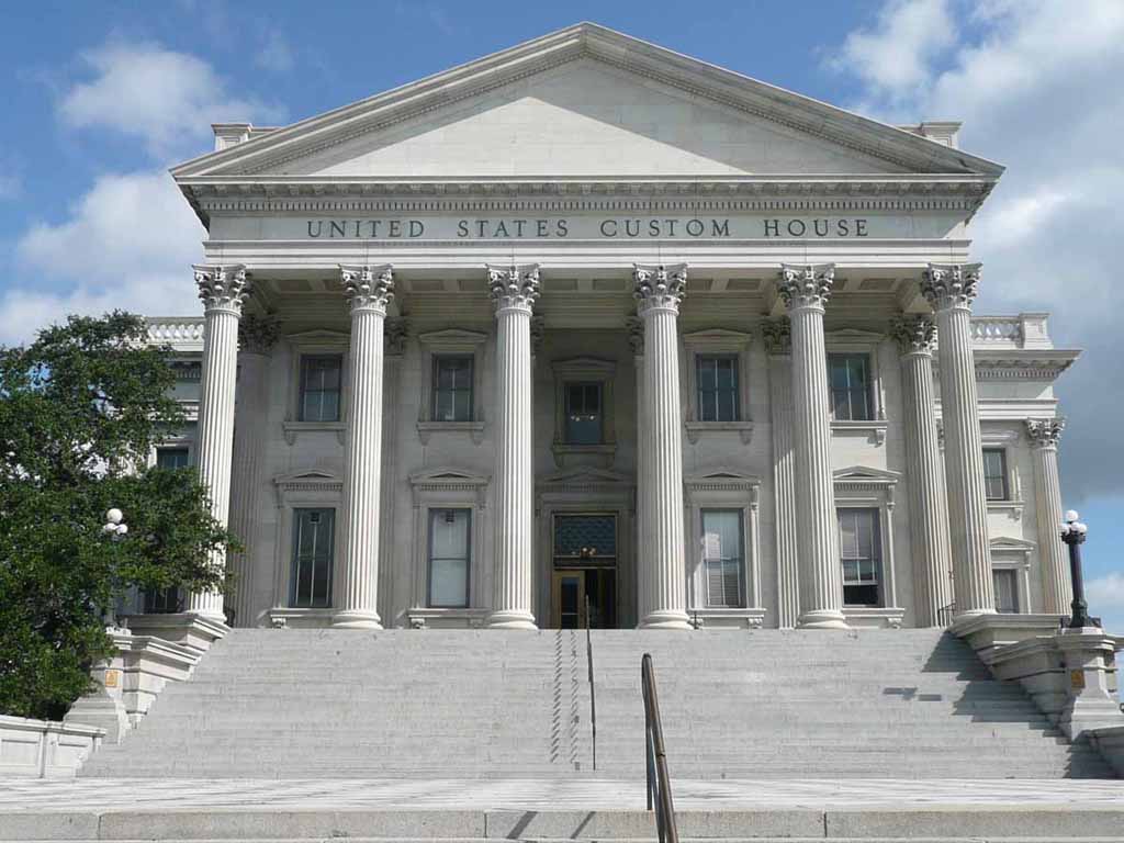
The USS Yorktown (CV-10). It's now a Museum ship at Patriot's Point in Mount Pleasant South Carolina. (across from Charleston). |
 |
|
|
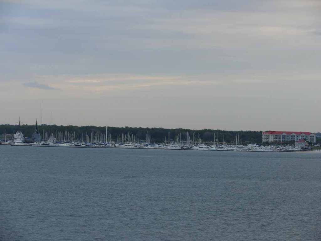
Charleston Harbor Resort and Marina (in My Pleasant) |
 |
|
|
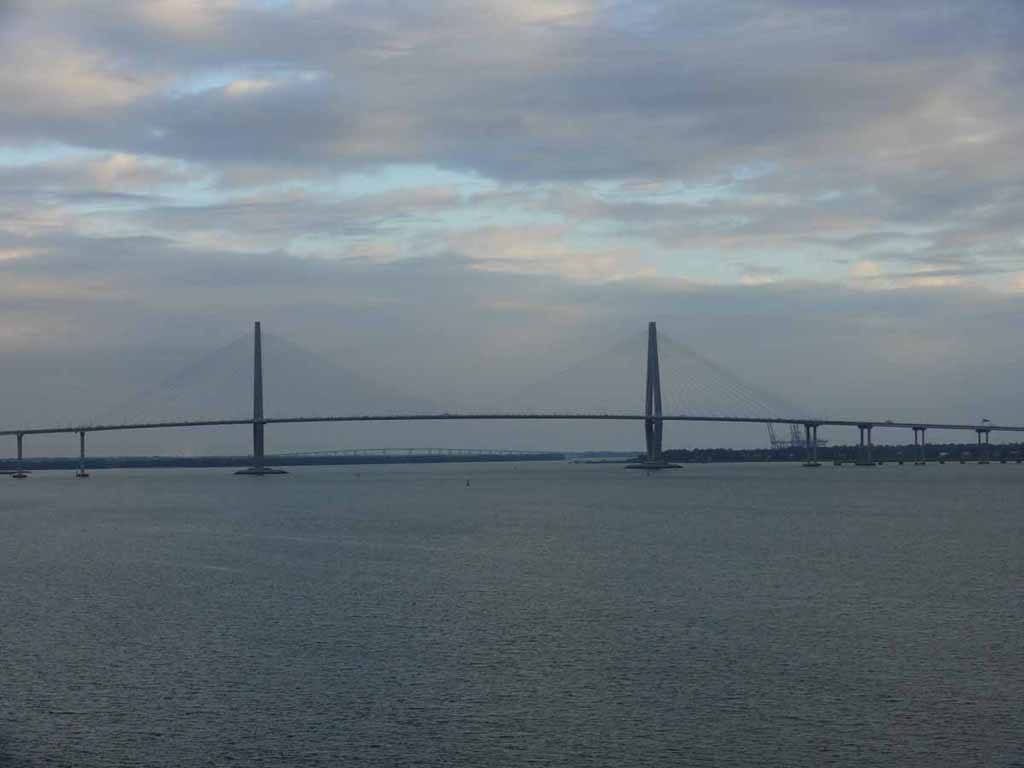
The Arthur Ravenel Jr Bridge |
 |
|
|
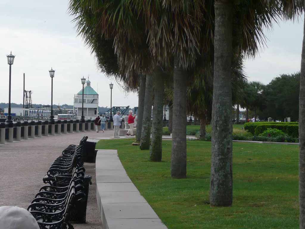
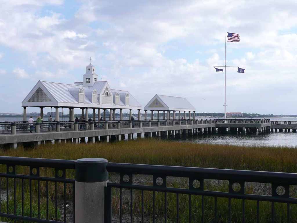
The "Waterfront Park" along the Charleston waterfront. |
 |
|
|
|
 |
|
|
|
 |
|
|
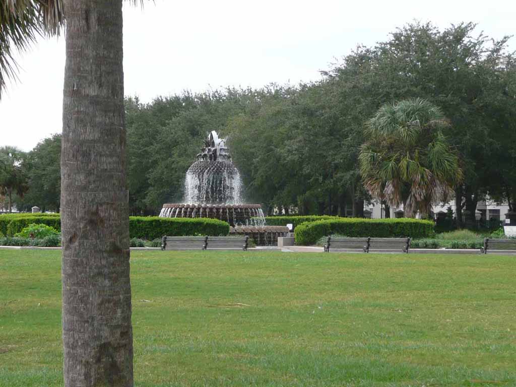
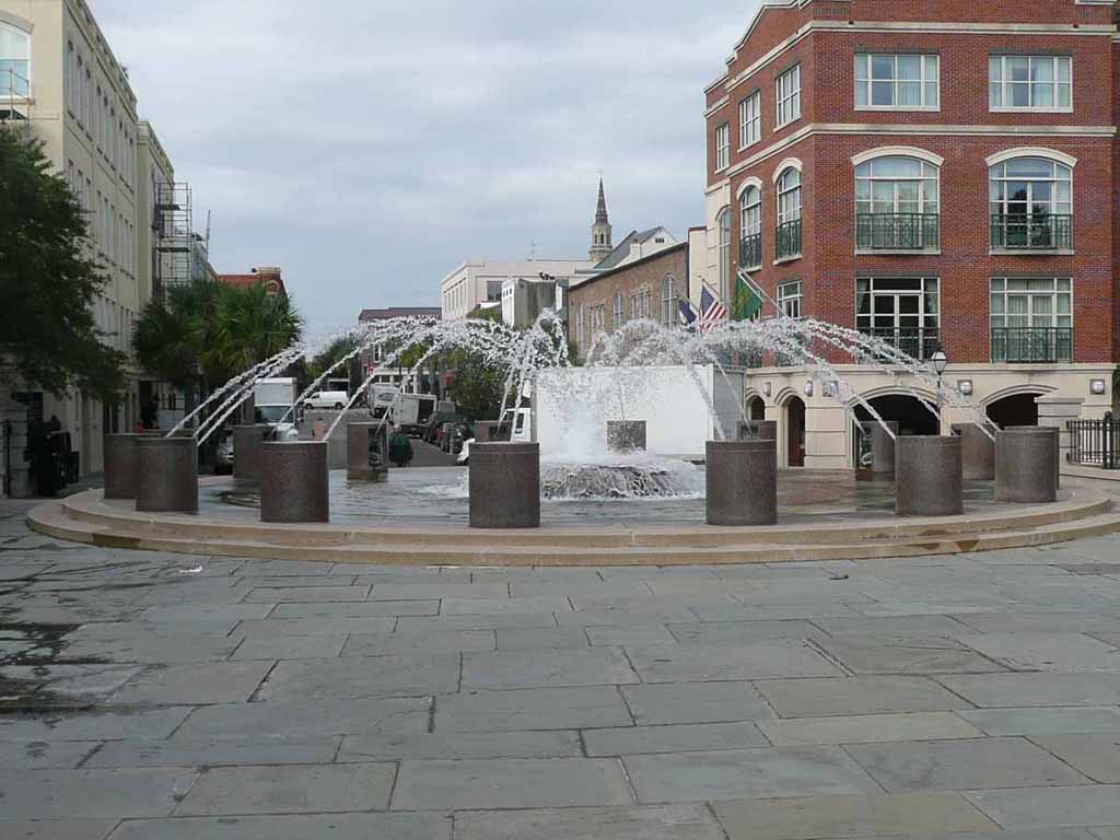
A fountain at the entrance to Waterfront Park |
 |
|
|
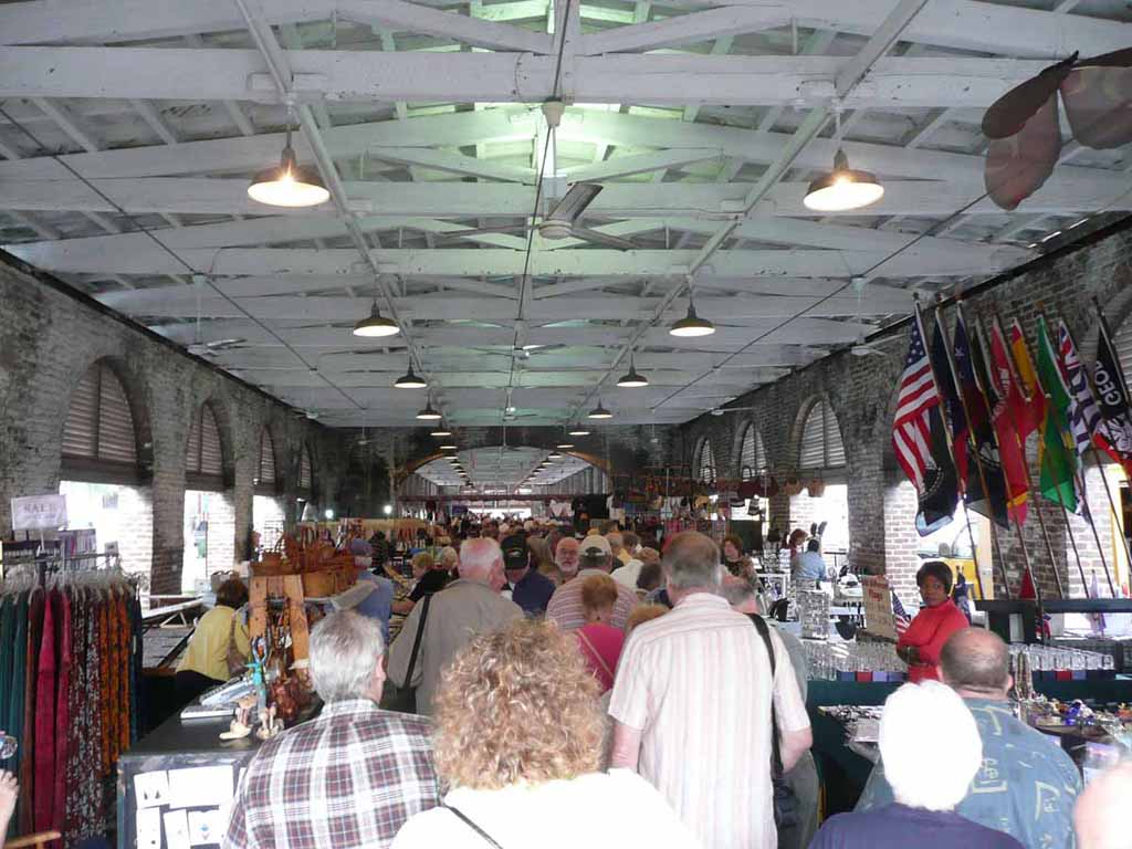
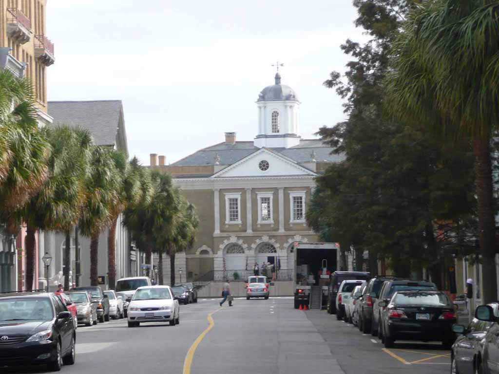
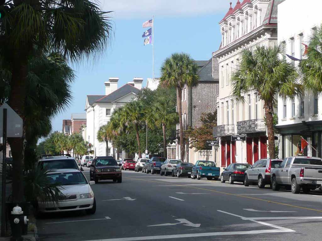
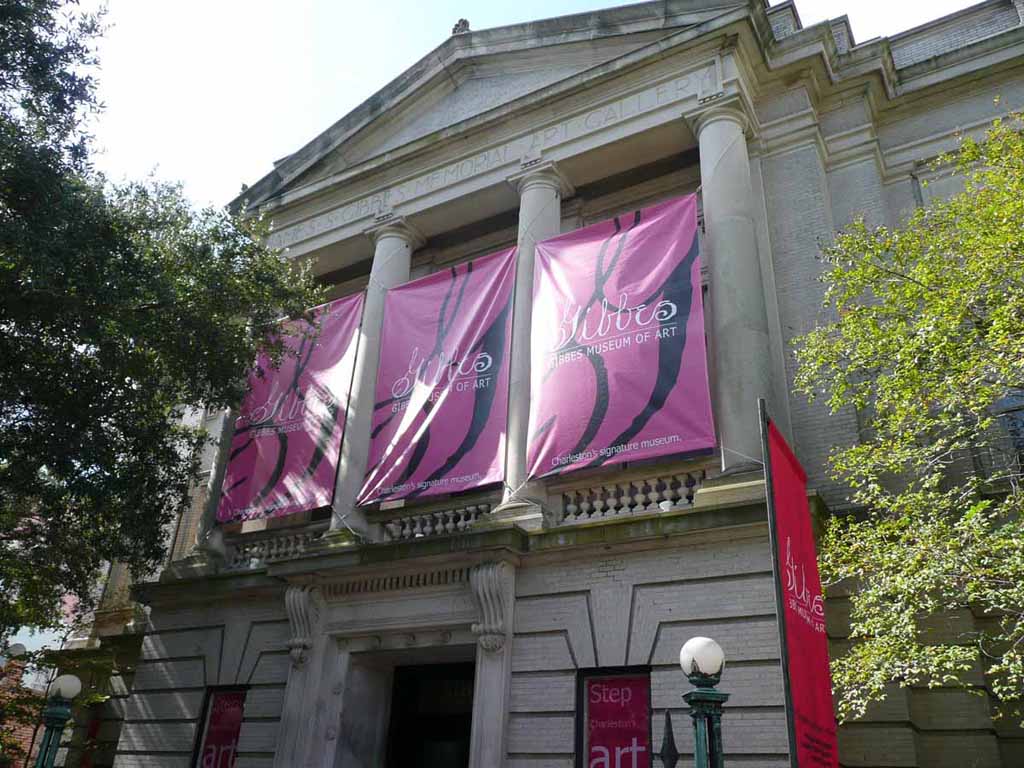
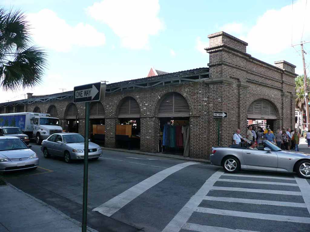
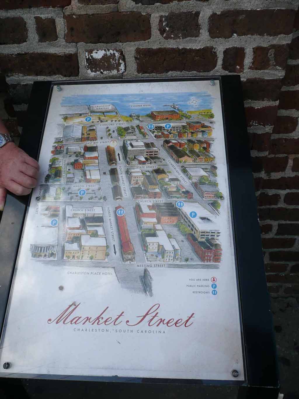
Inside the Old City Market in Charleston. It runs for numerous blocks as you can see better in the photo below. |
 |
|
|
|
 |
|
|
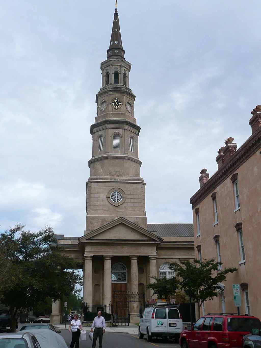
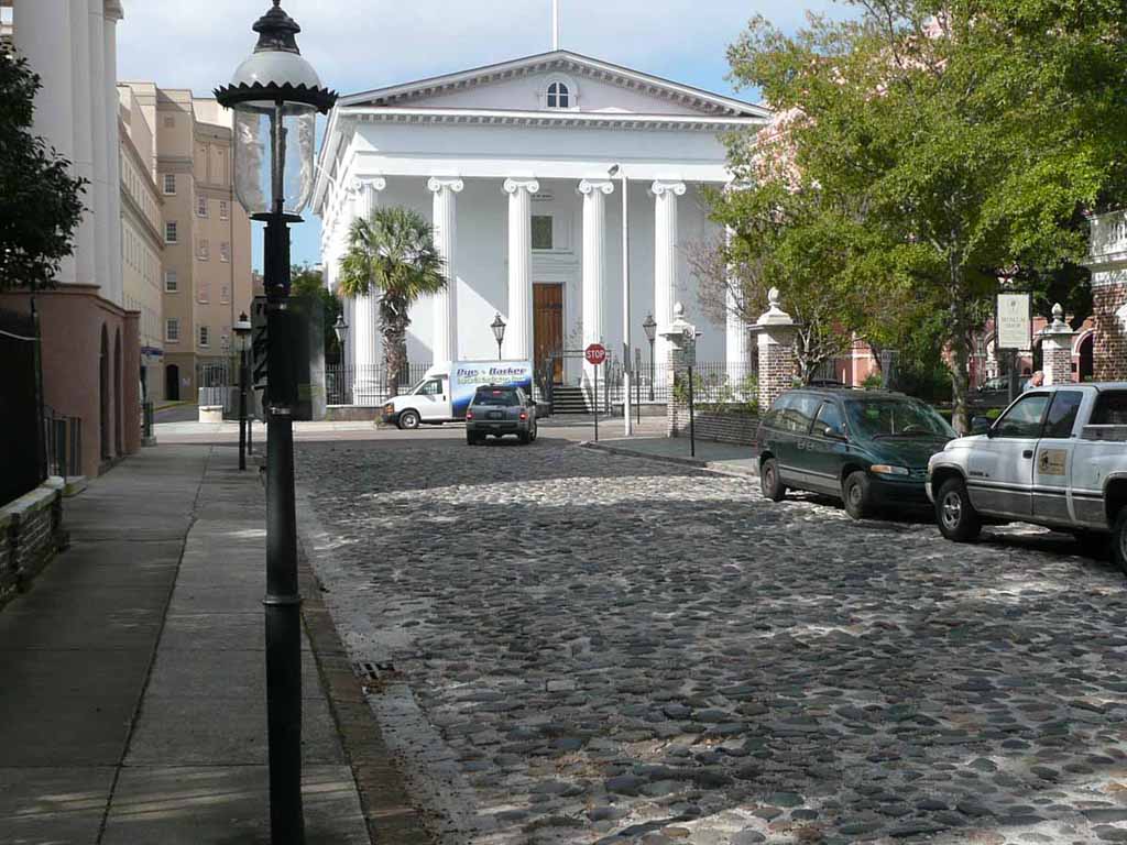
St. Phillip's Episcopal Church |
 |
|
|
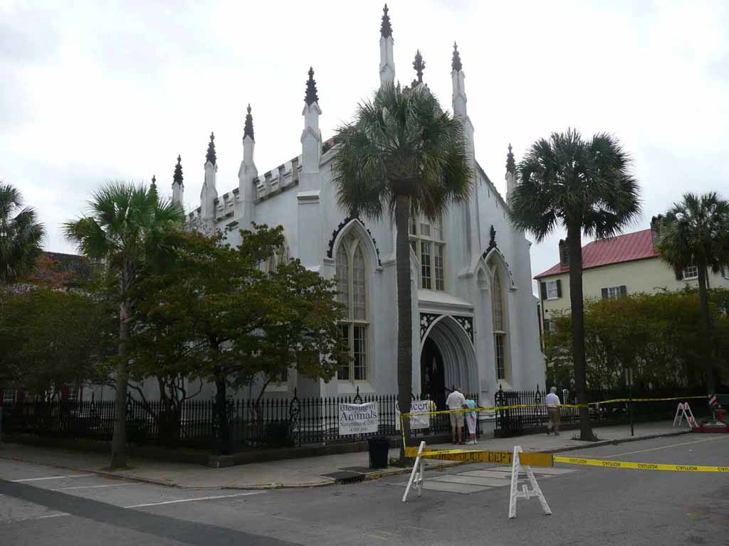
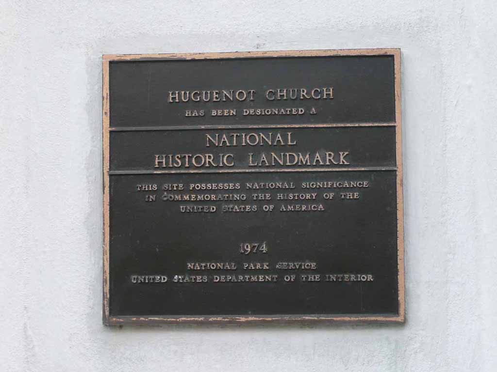
The Huguenot Church |
 |
|
|
|
 |
|
|
|
 |
|
|
|
 |
|
|
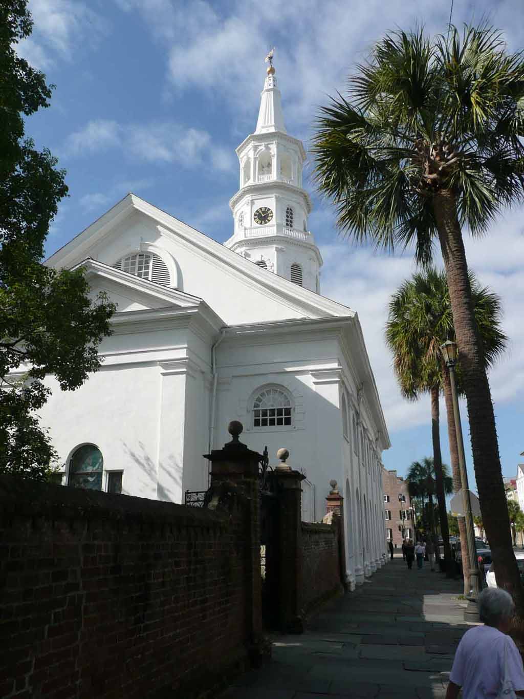
St Michael's Church. |
 |
|
|
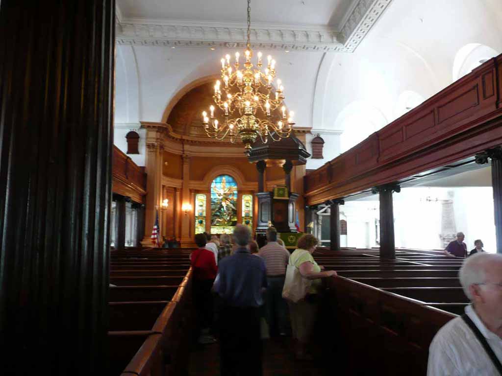
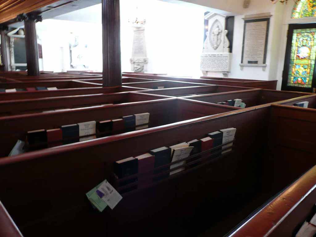
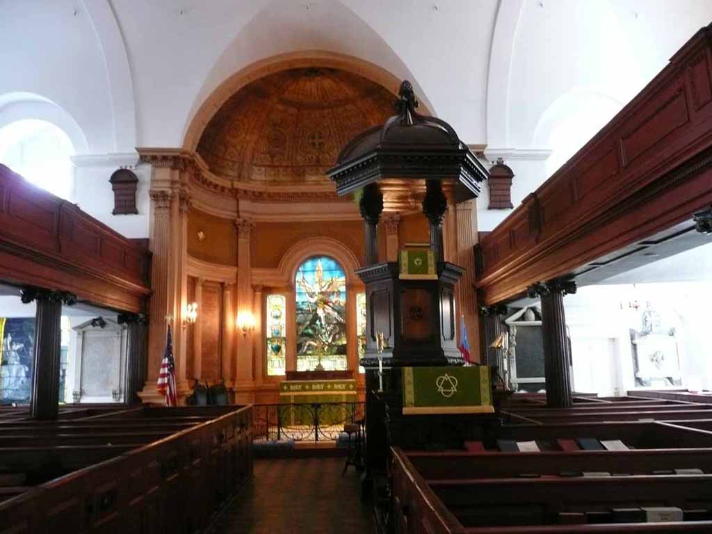
Inside St Michael's Church |
 |
|
|
|
 |
|
|
There was a long double-pew knows as the Governor's Pew, where George Washington worshipped on Sunday May 8, 1791. |
 |
|
|
The "Four Corners of Law". Meeting and Broad Streets. Left is St Michael's Church (canonical law) This picture is the Federal Building and post office (Federal Law) |
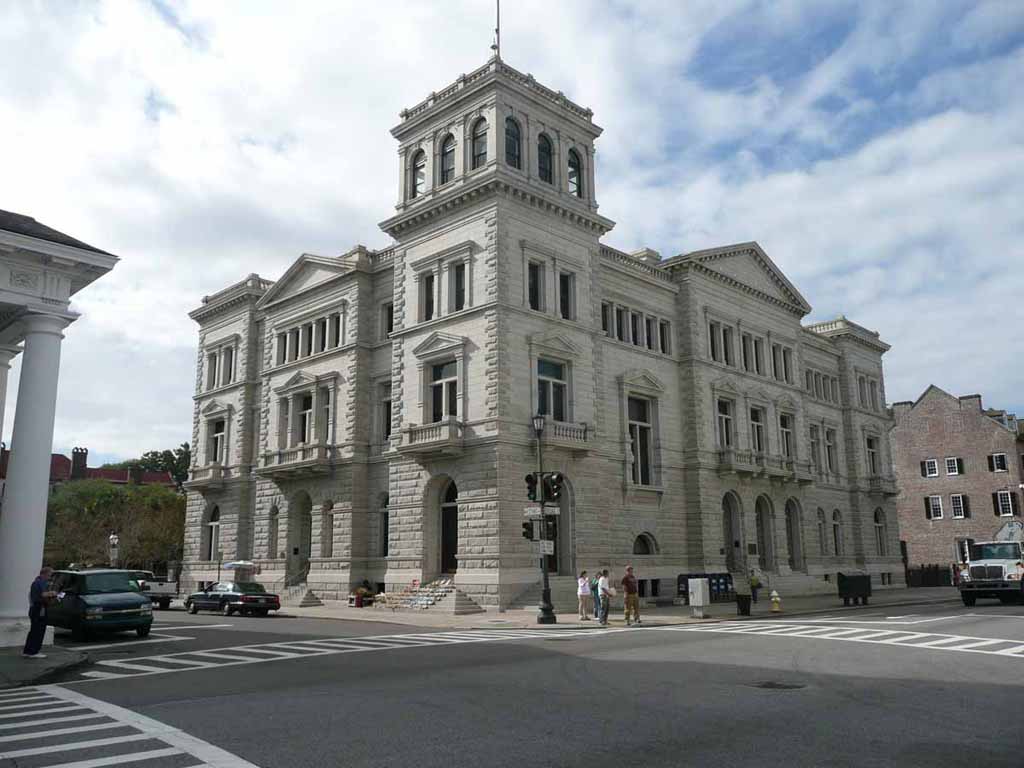 |
|
|
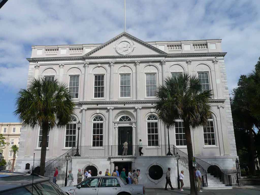
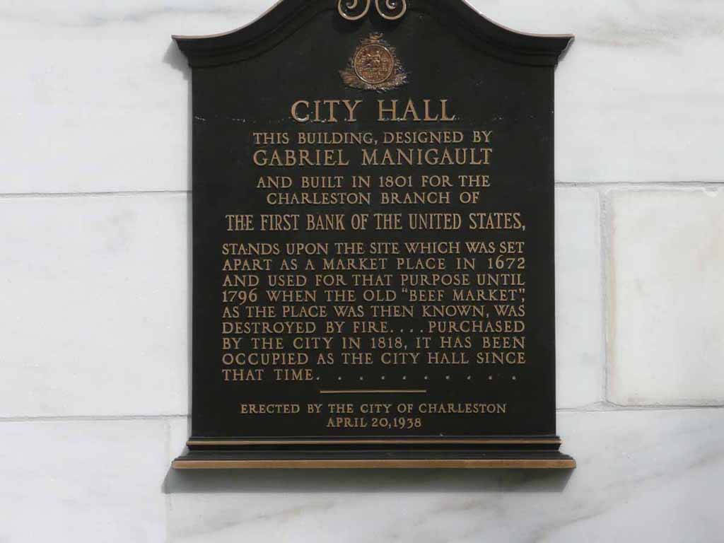
Charleston City Hall (City Law) |
 |
|
|
|
 |
|
|
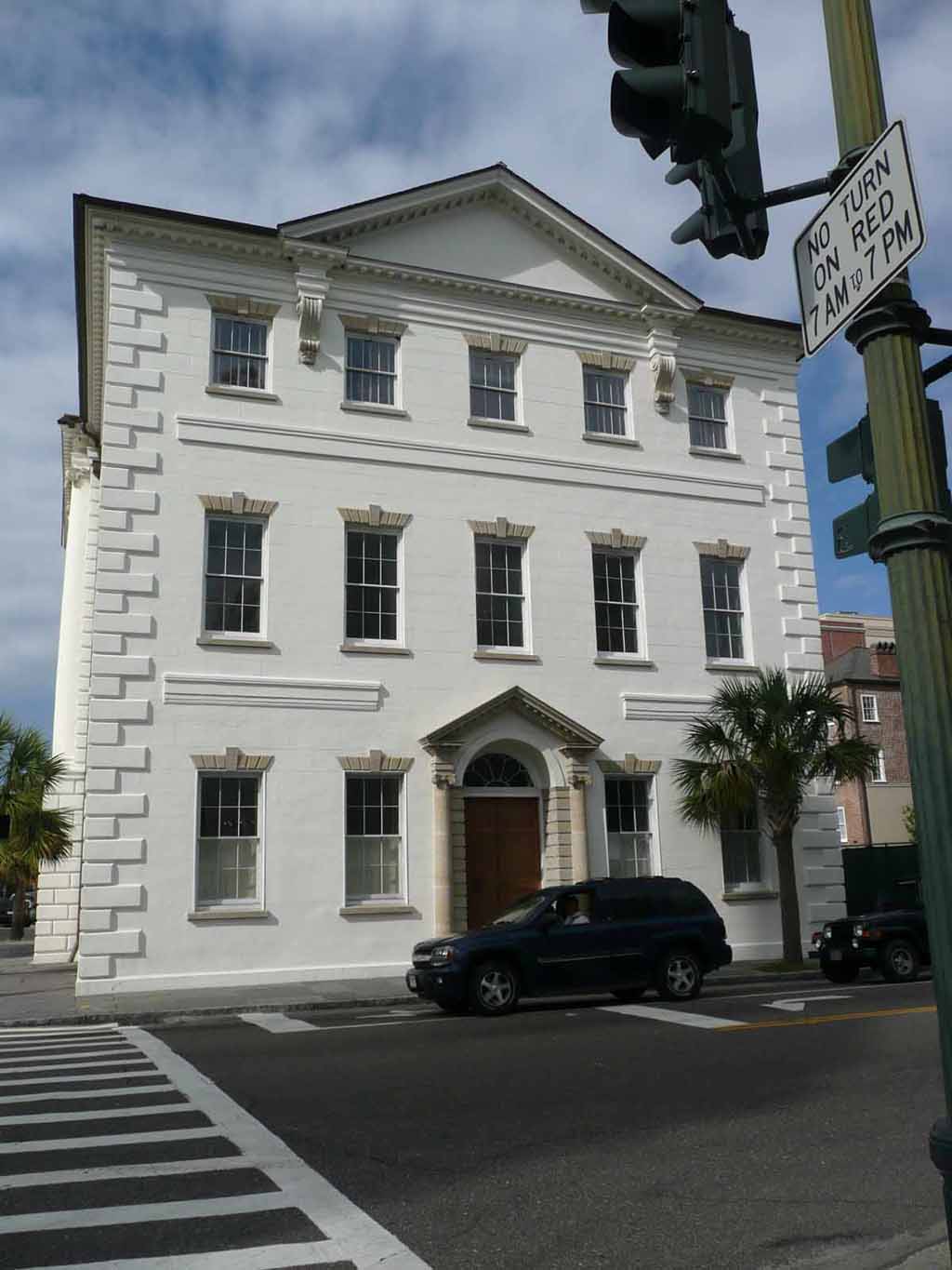
Charleston County Courthouse (State Law) |
 |
|
|
|
|
|
|
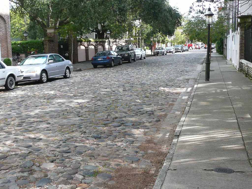
Chalmers street. Supposedly the longest remaining Cobblestone street. |
 |
|
|
|
 |
|
|
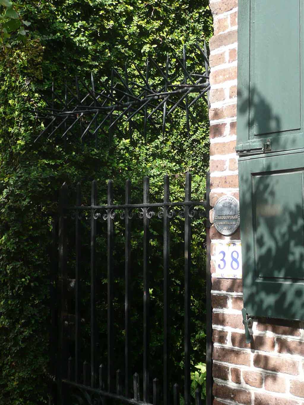
Forgot the name of this device but I'm not going to try to climb over it. |
 |
|
|
|
 |
|
|
|
 |
|
|
|
 |
|
|
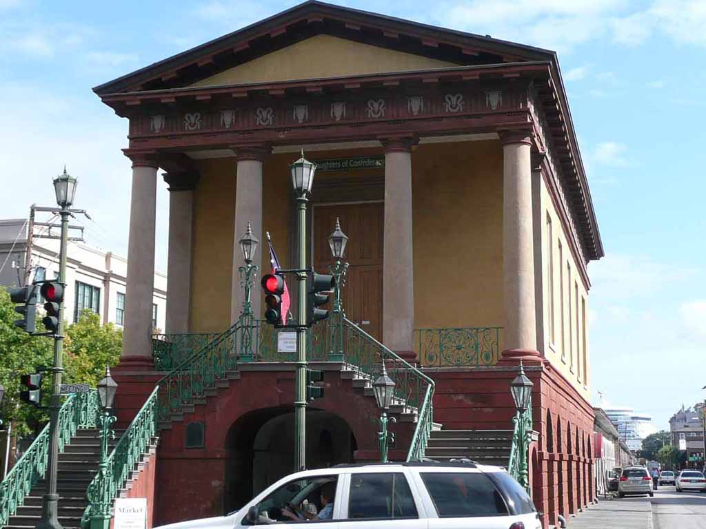
The daughters of the confederacy building at the end of the Old City Market. You can see the Bow of our ship in the background. |
 |
|
|
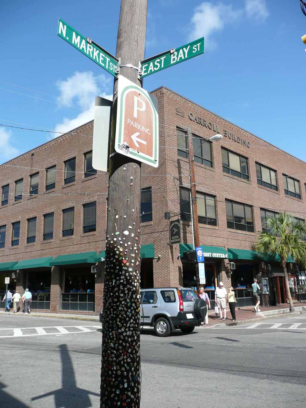
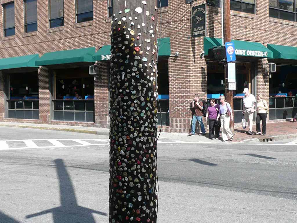
A "gummed up" telephone pole outside the Old Market |
 |
|
|
|
 |
|
|
|
 |
|
|
Another shot of the market |
 |
|
|
|
 |
|
|
|
 |
|
|
|
 |
|
|
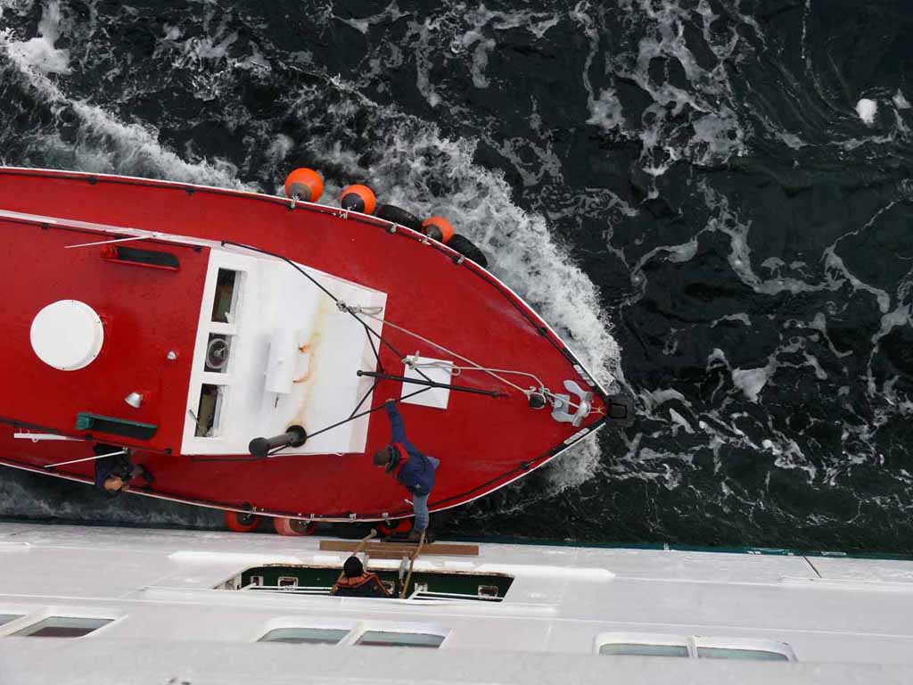
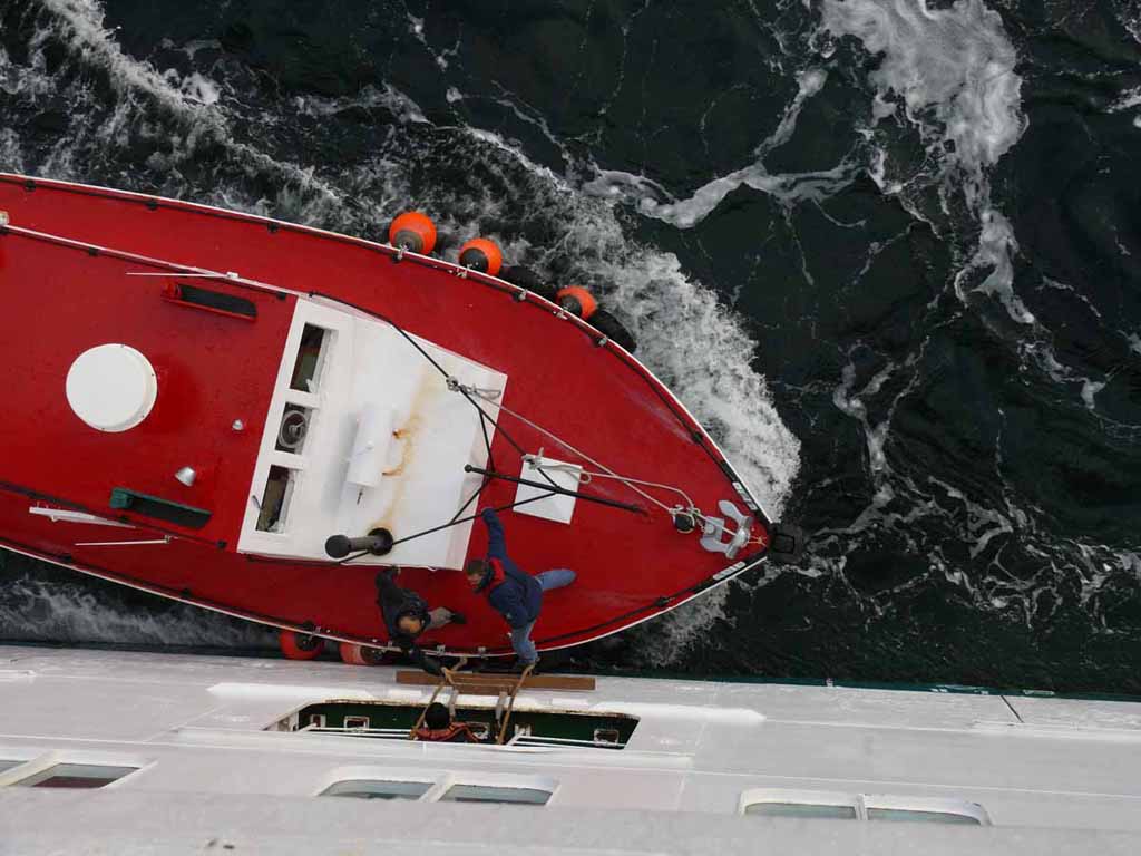
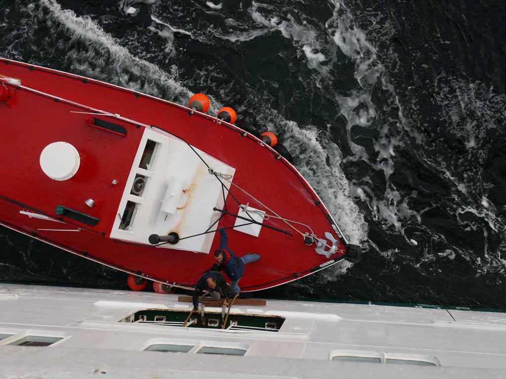
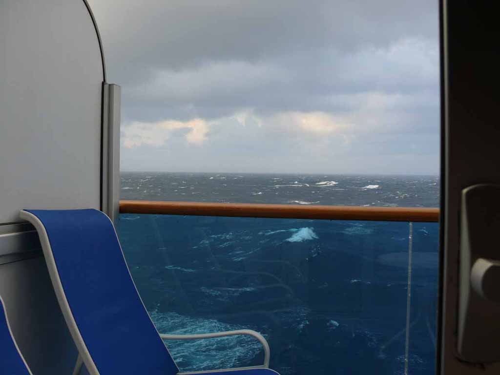
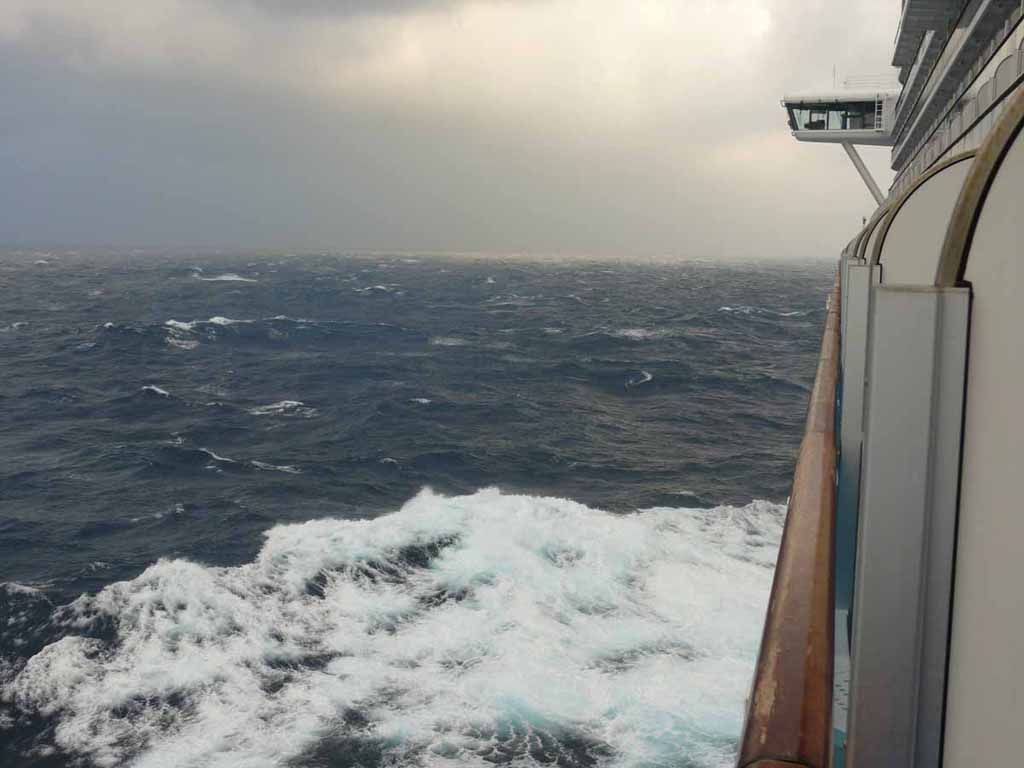
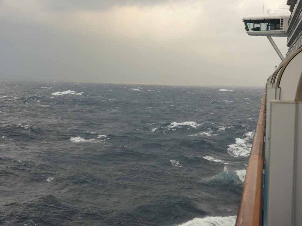
It got a bit bumpy between Charleston and Ft Lauderdale. |
 |
|
|
This was cause by Hurricane Noel. It was 200-300 miles east of us out in the Atlantic. |
 |
|
|
|
 |
|
|
|
The End |